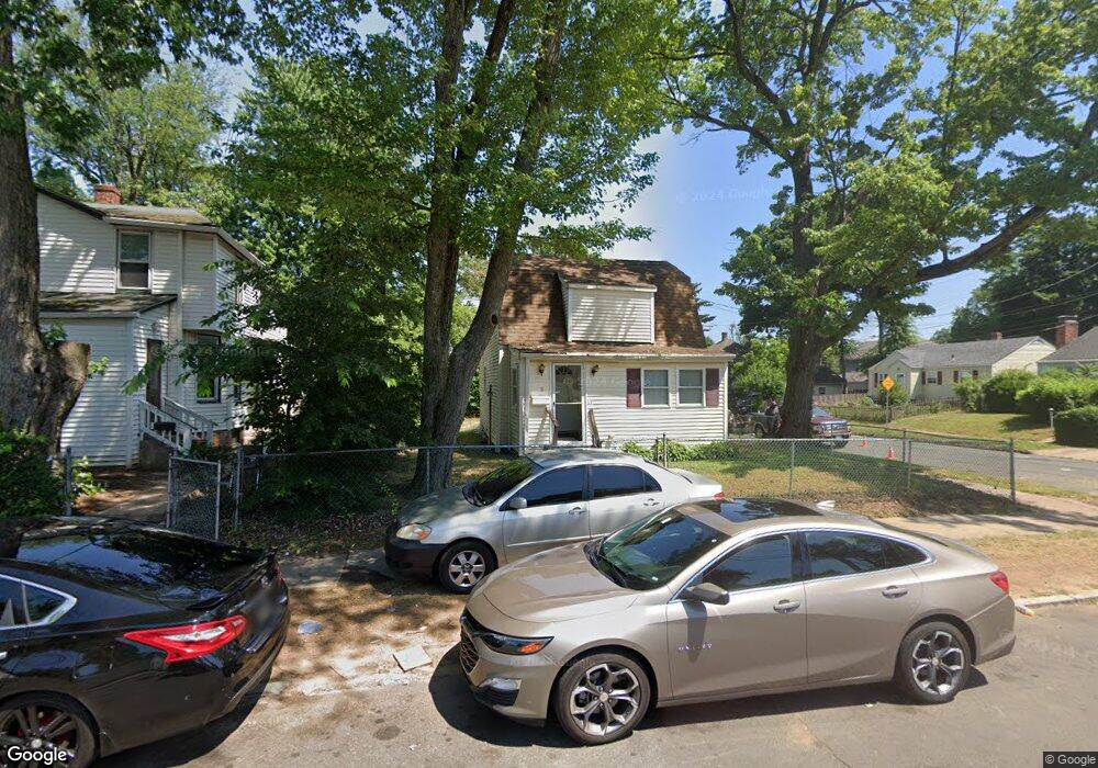
2 Simpson St Hartford, CT 06112
Blue Hills NeighborhoodEstimated Value: $108,593 - $123,000
2
Beds
2
Baths
966
Sq Ft
$118/Sq Ft
Est. Value
About This Home
This home is located at 2 Simpson St, Hartford, CT 06112 and is currently estimated at $114,198, approximately $118 per square foot. 2 Simpson St is a home located in Hartford County with nearby schools including Rawson School, Breakthrough Magnet School - North Campus, and West Middle School.
Ownership History
Date
Name
Owned For
Owner Type
Purchase Details
Closed on
Oct 28, 2024
Sold by
Whitehurst Talisha
Bought by
2 Simpson Llc
Current Estimated Value
Purchase Details
Closed on
Sep 4, 2008
Sold by
2 Simpson Estate T and Black
Bought by
Graves Talisha
Home Financials for this Owner
Home Financials are based on the most recent Mortgage that was taken out on this home.
Original Mortgage
$122,970
Interest Rate
6.69%
Mortgage Type
Purchase Money Mortgage
Create a Home Valuation Report for This Property
The Home Valuation Report is an in-depth analysis detailing your home's value as well as a comparison with similar homes in the area
Home Values in the Area
Average Home Value in this Area
Purchase History
| Date | Buyer | Sale Price | Title Company |
|---|---|---|---|
| 2 Simpson Llc | $100,000 | None Available | |
| 2 Simpson Llc | $100,000 | None Available | |
| Graves Talisha | $124,900 | -- | |
| Graves Talisha | $124,900 | -- |
Source: Public Records
Mortgage History
| Date | Status | Borrower | Loan Amount |
|---|---|---|---|
| Previous Owner | Graves Talisha | $130,935 | |
| Previous Owner | Graves Talisha | $122,970 |
Source: Public Records
Tax History Compared to Growth
Tax History
| Year | Tax Paid | Tax Assessment Tax Assessment Total Assessment is a certain percentage of the fair market value that is determined by local assessors to be the total taxable value of land and additions on the property. | Land | Improvement |
|---|---|---|---|---|
| 2025 | $3,441 | $49,907 | $5,880 | $44,027 |
| 2024 | $3,441 | $49,907 | $5,880 | $44,027 |
| 2023 | $3,441 | $49,907 | $5,880 | $44,027 |
| 2022 | $3,441 | $49,907 | $5,880 | $44,027 |
| 2021 | $2,694 | $36,260 | $6,965 | $29,295 |
| 2020 | $2,694 | $36,260 | $6,965 | $29,295 |
| 2019 | $2,694 | $36,260 | $6,965 | $29,295 |
| 2018 | $2,603 | $35,038 | $6,731 | $28,307 |
| 2016 | $2,410 | $32,435 | $6,409 | $26,026 |
| 2015 | $2,410 | $30,895 | $6,106 | $24,789 |
| 2014 | $2,239 | $30,140 | $5,957 | $24,183 |
Source: Public Records
Map
Nearby Homes
- 70 Burnham St Unit 72
- 86 Hartland St
- 152 Burnham St
- 147 Morningside St W
- 90 Manchester St
- 180 Brookline Ave
- 171 N Canaan St
- 11 Pershing St Unit 13
- 355 Cornwall St Unit 357
- 125 Lebanon St Unit 127
- 179 Manchester St
- 10 Baltic St Unit 12
- 36 Baltic St Unit 38
- 181 Westminster St
- 97 E Burnham St
- 218 Holcomb St Unit 220
- 97 Boothbay St
- 211 Holcomb St Unit 213
- 67 Elizabeth Ave
- 52 Greenwood Ave
- 8 Simpson St
- 14 Simpson St
- 105 Harold St
- 145 Hartland St
- 109 Harold St
- 16 Simpson St
- 160 Hartland St
- 95 Harold St
- 101 Harold St Unit 103
- 164 Hartland St
- 115 Harold St
- 89 Harold St
- 20 Simpson St
- 11 Simpson St
- 141 Hartland St
- 154 Hartland St
- 150 Hartland St
- 117 Harold St
- 85 Harold St Unit 87
- 106 Harold St Unit 108