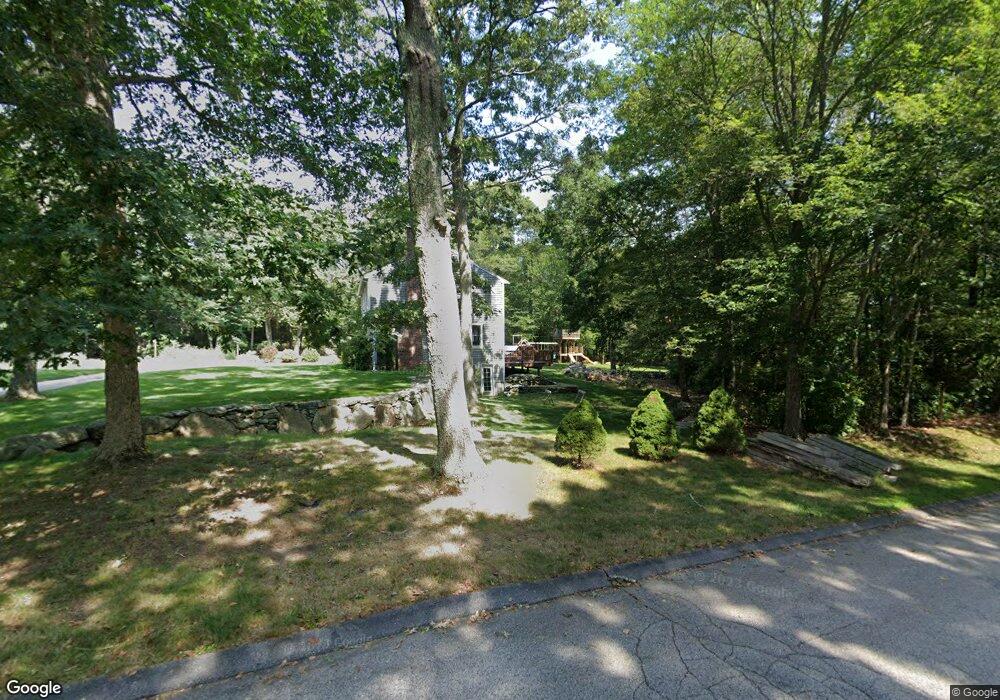
2 Southwick Cir Saunderstown, RI 02874
Saunderstown NeighborhoodEstimated Value: $701,731 - $794,000
3
Beds
4
Baths
1,802
Sq Ft
$417/Sq Ft
Est. Value
About This Home
This home is located at 2 Southwick Cir, Saunderstown, RI 02874 and is currently estimated at $751,683, approximately $417 per square foot. 2 Southwick Cir is a home located in Washington County with nearby schools including Stony Lane Elementary School, Wickford Middle School, and North Kingstown Sr. High School.
Ownership History
Date
Name
Owned For
Owner Type
Purchase Details
Closed on
Jun 22, 2007
Sold by
Harper John and Harper Sandra
Bought by
Dubois Bertrand
Current Estimated Value
Home Financials for this Owner
Home Financials are based on the most recent Mortgage that was taken out on this home.
Original Mortgage
$324,000
Outstanding Balance
$197,716
Interest Rate
6.14%
Mortgage Type
Purchase Money Mortgage
Estimated Equity
$553,967
Create a Home Valuation Report for This Property
The Home Valuation Report is an in-depth analysis detailing your home's value as well as a comparison with similar homes in the area
Home Values in the Area
Average Home Value in this Area
Purchase History
| Date | Buyer | Sale Price | Title Company |
|---|---|---|---|
| Dubois Bertrand | $405,000 | -- |
Source: Public Records
Mortgage History
| Date | Status | Borrower | Loan Amount |
|---|---|---|---|
| Open | Dubois Bertrand | $324,000 |
Source: Public Records
Tax History Compared to Growth
Tax History
| Year | Tax Paid | Tax Assessment Tax Assessment Total Assessment is a certain percentage of the fair market value that is determined by local assessors to be the total taxable value of land and additions on the property. | Land | Improvement |
|---|---|---|---|---|
| 2025 | $6,760 | $612,300 | $294,600 | $317,700 |
| 2024 | $6,378 | $444,800 | $204,500 | $240,300 |
| 2023 | $6,378 | $444,800 | $204,500 | $240,300 |
| 2022 | $6,254 | $444,800 | $204,500 | $240,300 |
| 2021 | $5,899 | $337,100 | $131,100 | $206,000 |
| 2020 | $5,761 | $337,100 | $131,100 | $206,000 |
| 2019 | $5,761 | $337,100 | $131,100 | $206,000 |
| 2018 | $5,829 | $307,300 | $125,700 | $181,600 |
| 2017 | $5,713 | $307,300 | $125,700 | $181,600 |
| 2016 | $5,550 | $307,300 | $125,700 | $181,600 |
| 2015 | $5,520 | $286,000 | $120,200 | $165,800 |
| 2014 | $5,408 | $286,000 | $120,200 | $165,800 |
Source: Public Records
Map
Nearby Homes
- 48 Fieldstone Ln
- 150 Delta Dr
- 604 Stony Fort Rd
- 470 Sylvan Ct
- 449 Sylvan Ct
- 247 Glen Hill Dr
- 202 Explorer Dr
- 158 Explorer Dr
- 168 Explorer Dr
- 210 Explorer Dr
- 1081 Mooresfield Rd
- 400 Yawgoo Valley Rd
- 155 Beechwood Hill Trail
- 91 Old Rd N
- 81 Old Rd N
- 95 S Woods Dr
- 42 Ledgewood Rd
- 66 Essex Manor Ln
- 79 Linden Dr
- 294 Rose Hill Rd
- 876 Slocum Rd
- 900 Slocum Rd
- 856 Slocum Rd
- 928 Slocum Rd
- 905 Slocum Rd
- 836 Slocum Rd
- 4 Southwick Cir
- 1 Southwick Cir
- 51 Thomas Anthony Rd
- 940 Slocum Rd
- 0 Thomas Anthony Rd
- 65 Thomas Anthony Rd
- 816 Slocum Rd
- 84 Sycamore Ln
- 810 Slocum Rd
- 4 Kayla Ricci Way
- 953 Slocum Rd
- 1 Kayla Ricci Way
- 794 Slocum Rd
- 90 Sycamore Ln