2 Spring Hill Rd Concord, MA 01742
Estimated Value: $1,555,000 - $1,768,000
4
Beds
3
Baths
2,946
Sq Ft
$554/Sq Ft
Est. Value
About This Home
This home is located at 2 Spring Hill Rd, Concord, MA 01742 and is currently estimated at $1,632,310, approximately $554 per square foot. 2 Spring Hill Rd is a home with nearby schools including Acton-Boxborough Regional High School, Nashoba Brooks School, and Middlesex School.
Ownership History
Date
Name
Owned For
Owner Type
Purchase Details
Closed on
May 13, 2021
Sold by
Darlow Peter G and Roschelle Sandra R
Bought by
2021 Darlow-Roschelle Ft and Darlow
Current Estimated Value
Purchase Details
Closed on
Apr 3, 2000
Sold by
Hardt David E
Bought by
Darlow Peter G and Roschelle Sandra R
Home Financials for this Owner
Home Financials are based on the most recent Mortgage that was taken out on this home.
Original Mortgage
$500,000
Interest Rate
8.4%
Mortgage Type
Purchase Money Mortgage
Create a Home Valuation Report for This Property
The Home Valuation Report is an in-depth analysis detailing your home's value as well as a comparison with similar homes in the area
Home Values in the Area
Average Home Value in this Area
Purchase History
| Date | Buyer | Sale Price | Title Company |
|---|---|---|---|
| 2021 Darlow-Roschelle Ft | -- | None Available | |
| Darlow Peter G | $246,000 | -- |
Source: Public Records
Mortgage History
| Date | Status | Borrower | Loan Amount |
|---|---|---|---|
| Previous Owner | Darlow Peter G | $247,000 | |
| Previous Owner | Darlow Peter G | $275,000 | |
| Previous Owner | Darlow Peter G | $500,000 |
Source: Public Records
Tax History
| Year | Tax Paid | Tax Assessment Tax Assessment Total Assessment is a certain percentage of the fair market value that is determined by local assessors to be the total taxable value of land and additions on the property. | Land | Improvement |
|---|---|---|---|---|
| 2025 | $21,324 | $1,243,400 | $435,700 | $807,700 |
| 2024 | $20,166 | $1,209,700 | $435,700 | $774,000 |
| 2023 | $19,708 | $1,122,300 | $396,400 | $725,900 |
| 2022 | $18,654 | $959,100 | $345,200 | $613,900 |
| 2021 | $18,237 | $901,500 | $319,600 | $581,900 |
| 2020 | $17,574 | $913,400 | $319,600 | $593,800 |
| 2019 | $16,794 | $867,000 | $319,600 | $547,400 |
| 2018 | $16,473 | $850,000 | $319,600 | $530,400 |
| 2017 | $16,039 | $841,500 | $319,600 | $521,900 |
| 2016 | $15,799 | $821,600 | $319,600 | $502,000 |
| 2015 | $15,497 | $813,500 | $319,600 | $493,900 |
| 2014 | $14,905 | $766,300 | $319,600 | $446,700 |
Source: Public Records
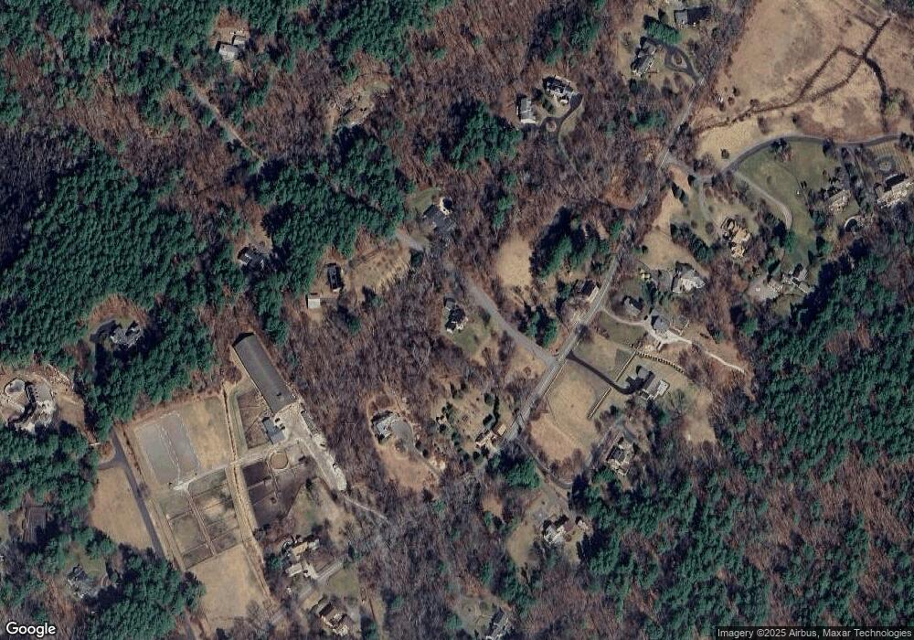
Map
Nearby Homes
- 110 Spencer Brook Rd
- 853 Strawberry Hill Rd
- 104 Channing Rd
- 107 Westford Rd
- 134 Pope Rd
- 11 Davis Rd Unit A5
- 15 Davis Rd Unit B-8
- 187 Great Rd Unit A1
- 49 Quarry Rd Unit 49
- 495 Hugh Cargill Rd
- 388 Great Rd Unit B14
- 386 Great Rd Unit A8
- 380A Great Rd Unit 301
- 390 Great Rd Unit B16
- 927 Main St
- 1 Bayberry Rd
- 875 Acton St
- 5 Samantha Way Unit 5
- 709 Main St
- 524 Main St
Your Personal Tour Guide
Ask me questions while you tour the home.