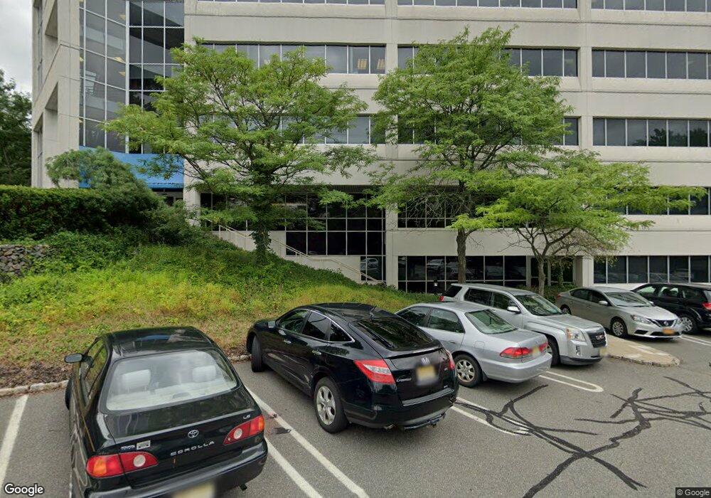
2 State Route 27 Unit 410 Edison, NJ 08820
Estimated Value: $414,000 - $564,000
--
Bed
--
Bath
1,264
Sq Ft
$390/Sq Ft
Est. Value
About This Home
This home is located at 2 State Route 27 Unit 410, Edison, NJ 08820 and is currently estimated at $493,554, approximately $390 per square foot. 2 State Route 27 Unit 410 is a home located in Middlesex County with nearby schools including Menlo Park Elementary School, Woodrow Wilson Middle School, and J.P. Stevens High School.
Ownership History
Date
Name
Owned For
Owner Type
Purchase Details
Closed on
Oct 16, 2015
Sold by
Gjm Bristol Llc
Bought by
Verkon Properties Llc
Current Estimated Value
Home Financials for this Owner
Home Financials are based on the most recent Mortgage that was taken out on this home.
Original Mortgage
$286,000
Outstanding Balance
$225,327
Interest Rate
3.92%
Mortgage Type
Purchase Money Mortgage
Estimated Equity
$268,227
Create a Home Valuation Report for This Property
The Home Valuation Report is an in-depth analysis detailing your home's value as well as a comparison with similar homes in the area
Home Values in the Area
Average Home Value in this Area
Purchase History
| Date | Buyer | Sale Price | Title Company |
|---|---|---|---|
| Verkon Properties Llc | $357,825 | Chicago Title Insurance Comp |
Source: Public Records
Mortgage History
| Date | Status | Borrower | Loan Amount |
|---|---|---|---|
| Open | Verkon Properties Llc | $286,000 |
Source: Public Records
Tax History Compared to Growth
Tax History
| Year | Tax Paid | Tax Assessment Tax Assessment Total Assessment is a certain percentage of the fair market value that is determined by local assessors to be the total taxable value of land and additions on the property. | Land | Improvement |
|---|---|---|---|---|
| 2025 | $8,656 | $145,400 | $31,600 | $113,800 |
| 2024 | $8,609 | $145,400 | $31,600 | $113,800 |
| 2023 | $8,609 | $145,400 | $31,600 | $113,800 |
| 2022 | $8,612 | $145,400 | $31,600 | $113,800 |
| 2021 | $8,583 | $145,400 | $31,600 | $113,800 |
| 2020 | $8,504 | $145,400 | $31,600 | $113,800 |
| 2019 | $7,864 | $145,400 | $31,600 | $113,800 |
| 2018 | $7,883 | $145,400 | $31,600 | $113,800 |
| 2017 | $7,810 | $145,400 | $31,600 | $113,800 |
| 2016 | $7,671 | $145,400 | $31,600 | $113,800 |
| 2015 | $7,378 | $145,400 | $31,600 | $113,800 |
| 2014 | $7,162 | $145,400 | $31,600 | $113,800 |
Source: Public Records
Map
Nearby Homes
- 4 Ayers Ct
- 182 Parsonage Rd
- 25 Turner Ave
- 10 Cutter Ave
- 303 Grove Ave
- 266 Middlesex Ave
- 513 Grove Ave
- 133 Christie St
- 36 Clive Hills Rd
- 177 Mundy Ave
- 73 Christie St
- 39 Rayle Ct
- 9 Marlin Ave W
- 31 Oak Ave
- 197 Evergreen 6a Rd
- 25 Eileen Way
- 57 Judson St Unit 3 B
- 57 Judson St Unit 4A
- 182 Evergreen Rd Unit 3B
- 170 Evergreen Rd Unit 18A
- 2 State Route 27 Unit 507
- 2 State Route 27 Unit 311
- 2 State Route 27 Unit 302
- 2 State Route 27 Unit 400
- 2 State Route 27 Unit 304
- 2 State Route 27 Unit 311
- 2 State Route 27 Unit 301A
- 2 State Route 27 Unit 511
- 2 State Route 27 Unit 510
- 2 State Route 27 Unit 509
- 2 State Route 27 Unit 508
- 2 State Route 27 Unit 501
- 2 State Route 27 Unit 500
- 2 State Route 27 Unit 468
- 2 State Route 27 Unit 411
- 2 State Route 27 Unit 405
- 2 State Route 27 Unit 402
- 2 State Route 27 Unit 401
- 2 State Route 27 Unit 301
- 2 State Route 27 Unit 200