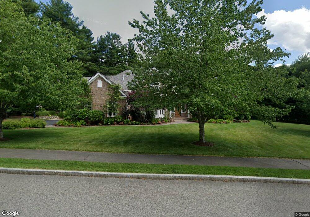
2 Stonefield Ln Wellesley, MA 02482
Estimated Value: $4,390,814 - $5,321,000
5
Beds
7
Baths
8,050
Sq Ft
$619/Sq Ft
Est. Value
About This Home
This home is located at 2 Stonefield Ln, Wellesley, MA 02482 and is currently estimated at $4,986,605, approximately $619 per square foot. 2 Stonefield Ln is a home located in Norfolk County with nearby schools including Hunnewell Elementary School, Wellesley Middle School, and Wellesley Sr High School.
Ownership History
Date
Name
Owned For
Owner Type
Purchase Details
Closed on
Jun 28, 2005
Sold by
Darehshori Cynthia
Bought by
Kenny Angela
Current Estimated Value
Purchase Details
Closed on
May 10, 2004
Sold by
Darehshori Cynthia and Darehshori Nader F
Bought by
Darehshori Cynthia
Purchase Details
Closed on
May 21, 2003
Sold by
Lot 1 Dover Road Rt and Hans R Michael
Bought by
Darehshori Cynthia and Darehshori Nadedr
Create a Home Valuation Report for This Property
The Home Valuation Report is an in-depth analysis detailing your home's value as well as a comparison with similar homes in the area
Purchase History
| Date | Buyer | Sale Price | Title Company |
|---|---|---|---|
| Kenny Angela | $4,100,000 | -- | |
| Darehshori Cynthia | -- | -- | |
| Darehshori Cynthia | $3,325,000 | -- |
Source: Public Records
Tax History
| Year | Tax Paid | Tax Assessment Tax Assessment Total Assessment is a certain percentage of the fair market value that is determined by local assessors to be the total taxable value of land and additions on the property. | Land | Improvement |
|---|---|---|---|---|
| 2025 | $40,791 | $3,968,000 | $1,370,000 | $2,598,000 |
| 2024 | $41,442 | $3,981,000 | $1,450,000 | $2,531,000 |
| 2023 | $43,441 | $3,794,000 | $1,369,000 | $2,425,000 |
| 2022 | $42,655 | $3,652,000 | $1,226,000 | $2,426,000 |
| 2021 | $42,911 | $3,652,000 | $1,226,000 | $2,426,000 |
| 2020 | $42,217 | $3,652,000 | $1,226,000 | $2,426,000 |
| 2019 | $42,254 | $3,652,000 | $1,226,000 | $2,426,000 |
| 2018 | $42,578 | $3,563,000 | $1,070,000 | $2,493,000 |
| 2017 | $42,031 | $3,565,000 | $1,072,000 | $2,493,000 |
| 2016 | $44,682 | $3,777,000 | $1,053,000 | $2,724,000 |
| 2015 | $43,651 | $3,776,000 | $1,052,000 | $2,724,000 |
Source: Public Records
Map
Nearby Homes
- 222 Grove St
- 20 Arden Rd
- 25 Longmeadow Rd
- 3 Midland Rd
- 121 Livingston Rd
- 389 Grove St
- 78 Denton Rd
- 85 Grove St Unit 311
- 85 Grove St Unit 306
- 85 Grove St Unit 203
- 12 Winding River Cir
- 182 Winding River Rd
- 170 Benvenue St
- 65 Grove St Unit 152
- 333 Cartwright Rd
- 68 Locust Ln
- 5 Abbott St
- 63 Linden St Unit 1
- 63 Linden St Unit 6
- 43 Amherst Rd
- 9 Livingston Rd
- 4 Stonefield Ln
- FOUR Stonefield Ln
- 1 Stonefield Ln
- 120 Dover Rd
- 3 Stonefield Ln
- 1 Buckingham Terrace
- 108 Dover Rd
- 124 Dover Rd
- 107 Dover Rd
- 27 Livingston Rd
- 6 Buckingham Terrace
- 127 Dover Rd
- 106 Dover Rd
- 2 Buckingham Terrace
- 207 Grove St
- 211 Grove St
- 3 Buckingham Terrace
- 22 Livingston Rd
- 128 Dover Rd
Your Personal Tour Guide
Ask me questions while you tour the home.