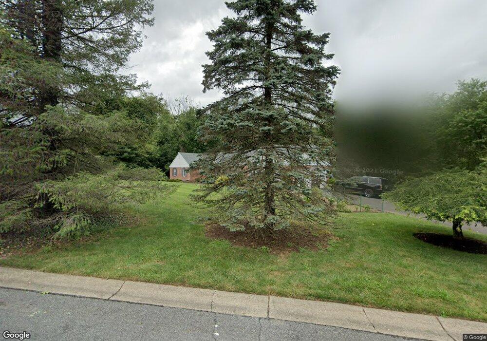
2 Stringer Dr Doylestown, PA 18901
Estimated Value: $705,861 - $864,000
3
Beds
2
Baths
2,315
Sq Ft
$340/Sq Ft
Est. Value
About This Home
This home is located at 2 Stringer Dr, Doylestown, PA 18901 and is currently estimated at $786,715, approximately $339 per square foot. 2 Stringer Dr is a home located in Bucks County with nearby schools including Kutz Elementary School, Lenape Middle School, and Central Bucks High School-West.
Ownership History
Date
Name
Owned For
Owner Type
Purchase Details
Closed on
Oct 2, 2000
Sold by
Hoffman David G and Hoffman Nancy A
Bought by
Land Michael J and Fanticolla Suzanne
Current Estimated Value
Home Financials for this Owner
Home Financials are based on the most recent Mortgage that was taken out on this home.
Original Mortgage
$208,000
Interest Rate
7.78%
Purchase Details
Closed on
Jun 13, 1998
Sold by
Walton Robert E
Bought by
Hoffman David G and Hoffman Nancy A
Home Financials for this Owner
Home Financials are based on the most recent Mortgage that was taken out on this home.
Original Mortgage
$150,000
Interest Rate
7.04%
Create a Home Valuation Report for This Property
The Home Valuation Report is an in-depth analysis detailing your home's value as well as a comparison with similar homes in the area
Home Values in the Area
Average Home Value in this Area
Purchase History
| Date | Buyer | Sale Price | Title Company |
|---|---|---|---|
| Land Michael J | $260,000 | -- | |
| Hoffman David G | $260,000 | T A Title Insurance Company |
Source: Public Records
Mortgage History
| Date | Status | Borrower | Loan Amount |
|---|---|---|---|
| Previous Owner | Land Michael J | $208,000 | |
| Previous Owner | Hoffman David G | $150,000 | |
| Closed | Land Michael J | $39,000 |
Source: Public Records
Tax History
| Year | Tax Paid | Tax Assessment Tax Assessment Total Assessment is a certain percentage of the fair market value that is determined by local assessors to be the total taxable value of land and additions on the property. | Land | Improvement |
|---|---|---|---|---|
| 2025 | $7,574 | $42,800 | $7,840 | $34,960 |
| 2024 | $7,574 | $42,800 | $7,840 | $34,960 |
| 2023 | $7,222 | $42,800 | $7,840 | $34,960 |
| 2022 | $7,142 | $42,800 | $7,840 | $34,960 |
| 2021 | $6,995 | $42,800 | $7,840 | $34,960 |
| 2020 | $6,962 | $42,800 | $7,840 | $34,960 |
| 2019 | $6,888 | $42,800 | $7,840 | $34,960 |
| 2018 | $6,866 | $42,800 | $7,840 | $34,960 |
| 2017 | $6,813 | $42,800 | $7,840 | $34,960 |
| 2016 | $6,770 | $42,800 | $7,840 | $34,960 |
| 2015 | -- | $42,800 | $7,840 | $34,960 |
| 2014 | -- | $42,800 | $7,840 | $34,960 |
Source: Public Records
Map
Nearby Homes
- 106 Saddle Dr
- 3066 Cloverly Dr
- 152 Watercrest Dr
- 3197 Brookside Dr
- 223 Cherry Ln
- 150 Watercrest Dr
- 1249 Pebble Hill Rd
- 2437 N Whittmore St
- 2361 Turk Rd
- 137 Pebble Woods Dri Pebble Woods Dr
- 000 Cherry Ln
- 3114 E Brighton St Unit 32
- 563 Pebble Hill Rd
- 45 Bedford Ave
- 45 Springs Dr
- 2947 Bridge St
- 34 Houk Rd
- 2209 Swamp Rd
- 60 Quarry Rd
- 2980 Yorkshire Rd
- 14 Stringer Dr
- 945 Pebble Hill Rd
- 5 Stringer Dr
- 960 Pebble Hill Rd
- 940 Pebble Hill Rd
- 26 Stringer Dr
- 17 Stringer Dr
- 980 Pebble Hill Rd
- 926 Pebble Hill Rd
- 36 New Rd
- 34 Stringer Dr
- 29 Stringer Dr
- 942 Pebble Hill Rd
- 42 New Rd
- 958 Pebble Hill Rd
- 918 Pebble Hill Rd
- 921 Pebble Hill Rd
- 32 New Rd
- 480 Edison Furlong Rd
- 995 Pebble Hill Rd
Your Personal Tour Guide
Ask me questions while you tour the home.