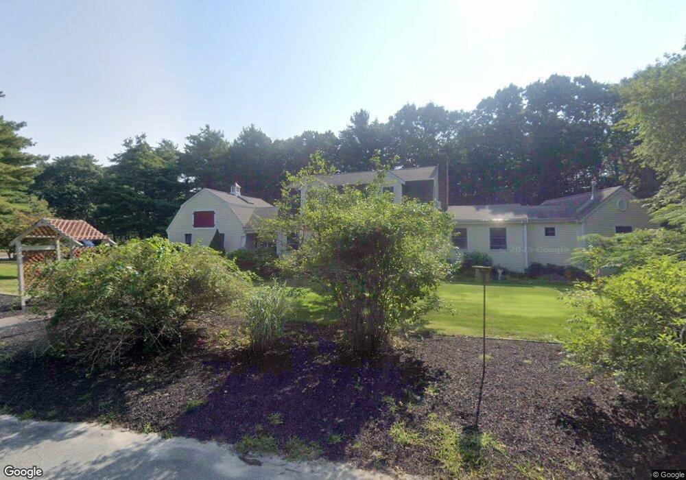
2 Taffrail Path Wareham, MA 02571
Estimated Value: $741,000 - $924,000
3
Beds
3
Baths
2,300
Sq Ft
$363/Sq Ft
Est. Value
About This Home
This home is located at 2 Taffrail Path, Wareham, MA 02571 and is currently estimated at $834,589, approximately $362 per square foot. 2 Taffrail Path is a home located in Plymouth County.
Ownership History
Date
Name
Owned For
Owner Type
Purchase Details
Closed on
Feb 27, 2025
Sold by
Koelsch Richard F and Koelsch Beth A
Bought by
R E & Beth A Koelsch Irt and Koelsch
Current Estimated Value
Purchase Details
Closed on
Feb 18, 2005
Sold by
Ikasalo Cheryl and Ikasalo Paul
Bought by
Koelsch Richard F and Koelsch Beth A
Purchase Details
Closed on
Apr 1, 1987
Sold by
Anzalone Frederick
Bought by
Bernard Lawrence W
Create a Home Valuation Report for This Property
The Home Valuation Report is an in-depth analysis detailing your home's value as well as a comparison with similar homes in the area
Purchase History
| Date | Buyer | Sale Price | Title Company |
|---|---|---|---|
| R E & Beth A Koelsch Irt | -- | None Available | |
| R E & Beth A Koelsch Irt | -- | None Available | |
| Koelsch Richard F | $398,000 | -- | |
| Koelsch Richard F | $398,000 | -- | |
| Bernard Lawrence W | $3,485 | -- |
Source: Public Records
Mortgage History
| Date | Status | Borrower | Loan Amount |
|---|---|---|---|
| Previous Owner | Bernard Lawrence W | $200,000 | |
| Previous Owner | Bernard Lawrence W | $25,000 |
Source: Public Records
Tax History
| Year | Tax Paid | Tax Assessment Tax Assessment Total Assessment is a certain percentage of the fair market value that is determined by local assessors to be the total taxable value of land and additions on the property. | Land | Improvement |
|---|---|---|---|---|
| 2025 | $7,428 | $712,900 | $166,900 | $546,000 |
| 2024 | $7,214 | $642,400 | $128,900 | $513,500 |
| 2023 | $6,866 | $570,700 | $117,600 | $453,100 |
| 2022 | $6,366 | $483,000 | $117,600 | $365,400 |
| 2021 | $6,252 | $464,800 | $117,600 | $347,200 |
| 2020 | $5,844 | $440,700 | $117,600 | $323,100 |
| 2019 | $5,713 | $429,900 | $121,300 | $308,600 |
| 2018 | $4,356 | $399,800 | $121,300 | $278,500 |
| 2017 | $5,135 | $381,800 | $121,300 | $260,500 |
| 2016 | $4,924 | $363,900 | $139,500 | $224,400 |
| 2015 | $4,756 | $363,900 | $139,500 | $224,400 |
| 2014 | $4,733 | $368,300 | $139,500 | $228,800 |
Source: Public Records
Map
Nearby Homes
- 10 Dowd Ave
- 65 Great Neck Rd
- 8 Over Jordan Rd
- 14 Over Jordan Rd
- 200 Great Neck Rd
- 0 Squaw's Path
- 276a Onset Ave
- 7 Cranberry Ln
- 10 Beacon St Unit 83
- 1 Gibbs Ball Park Rd
- 391 Onset Ave
- 26 Highland Ave
- 38 Amos Way
- 12 Beacon St Unit 84
- 10 East Blvd
- 10 East Blvd
- 124 Minot Ave Unit 1
- 248 Great Neck Rd
- 35 Locust St
- 3 Carleton St Unit 3
Your Personal Tour Guide
Ask me questions while you tour the home.