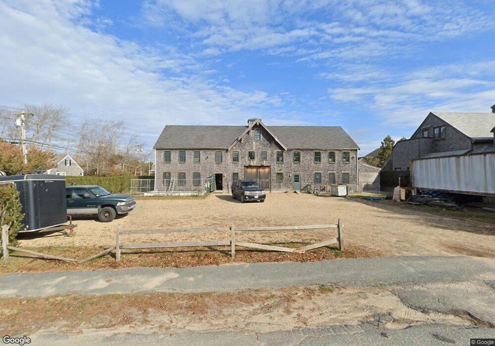
2 Teasdale Cir Nantucket, MA 02554
Estimated Value: $4,174,980
--
Bed
1
Bath
6,052
Sq Ft
$690/Sq Ft
Est. Value
About This Home
This home is located at 2 Teasdale Cir, Nantucket, MA 02554 and is currently estimated at $4,174,980, approximately $689 per square foot. 2 Teasdale Cir is a home located in Nantucket County with nearby schools including Nantucket Elementary School, Cyrus Peirce Middle School, and Nantucket High School.
Ownership History
Date
Name
Owned For
Owner Type
Purchase Details
Closed on
Oct 1, 1997
Sold by
Quinn Justin and Gallagher Kathyann
Bought by
Mitchell Carter K
Current Estimated Value
Home Financials for this Owner
Home Financials are based on the most recent Mortgage that was taken out on this home.
Original Mortgage
$77,000
Outstanding Balance
$12,328
Interest Rate
7.41%
Mortgage Type
Commercial
Estimated Equity
$4,162,653
Purchase Details
Closed on
Apr 18, 1996
Sold by
Htz Rt and Yates
Bought by
Quinn Justin and Gallaher Kath Ann
Home Financials for this Owner
Home Financials are based on the most recent Mortgage that was taken out on this home.
Original Mortgage
$44,000
Interest Rate
7.34%
Mortgage Type
Commercial
Create a Home Valuation Report for This Property
The Home Valuation Report is an in-depth analysis detailing your home's value as well as a comparison with similar homes in the area
Home Values in the Area
Average Home Value in this Area
Purchase History
| Date | Buyer | Sale Price | Title Company |
|---|---|---|---|
| Mitchell Carter K | $110,000 | -- | |
| Mitchell Carter K | $110,000 | -- | |
| Quinn Justin | $84,000 | -- | |
| Quinn Justin | $84,000 | -- |
Source: Public Records
Mortgage History
| Date | Status | Borrower | Loan Amount |
|---|---|---|---|
| Open | Mitchell Carter K | $77,000 | |
| Closed | Quinn Justin | $77,000 | |
| Previous Owner | Quinn Justin | $44,000 |
Source: Public Records
Tax History Compared to Growth
Tax History
| Year | Tax Paid | Tax Assessment Tax Assessment Total Assessment is a certain percentage of the fair market value that is determined by local assessors to be the total taxable value of land and additions on the property. | Land | Improvement |
|---|---|---|---|---|
| 2025 | $12,583 | $2,263,200 | $1,186,900 | $1,076,300 |
| 2024 | $11,471 | $2,164,300 | $1,130,400 | $1,033,900 |
| 2023 | $10,982 | $2,011,300 | $1,027,700 | $983,600 |
| 2022 | $108 | $1,694,400 | $747,300 | $947,100 |
| 2021 | $9,901 | $1,596,900 | $649,800 | $947,100 |
| 2020 | $7,739 | $1,320,700 | $649,800 | $670,900 |
| 2019 | $7,541 | $1,320,700 | $649,800 | $670,900 |
| 2018 | $7,182 | $1,062,800 | $492,300 | $570,500 |
| 2017 | $5,717 | $954,500 | $384,000 | $570,500 |
| 2016 | $5,987 | $1,009,600 | $429,500 | $580,100 |
| 2015 | $6,441 | $1,009,600 | $429,500 | $580,100 |
| 2014 | $6,744 | $1,009,600 | $429,500 | $580,100 |
Source: Public Records
Map
Nearby Homes
- 24 MacYs Ln
- 25B Park Cir Unit 25B
- 2 Goldenrod Ct
- 10 Beach Grass Rd
- 103A Old Rd S
- 33 Goldfinch Dr
- 11 Killdeer Ln
- 6 Honeysuckle Dr
- 19 Honeysuckle Dr
- 14 Beach Grass Rd
- 6 Dovekie Ct
- 20 Evergreen Way
- 5 Upper Tawpawshaw Rd
- 20 Nancy Ann Ln
- 13 Nancy Ann Ln
- 15 Nancy Ann Ln
- 6 Beverly Ct
- 4 Fawn Ln
- 11 Woodland Dr
- 13 Fawn Ln
- 20 Teasdale Cir
- 6 Teasdale Cir
- 1 Rosemary Way
- 16 Teasdale Cir
- 1 Yawkey Way Unit 1
- 1 Yawkey Way Unit 2
- 1 Yawkey Way
- 1 Yawkey Way Unit 1
- 1 Yawkey Way Unit 2
- 3 Teasdale Cir
- 2 Yawkey Way Unit 1
- 2 Yawkey Way Unit 2
- 19 Teasdale Cir
- 17 Teasdale Cir
- 11 B Teasdale Cir Unit B
- 11 B Teasdale Cir
- 27 Nobadeer Farm Rd
- 3 Yawkey Way Unit 1
- 40 Nobadeer Farm Rd Unit 4
- 40 Nobadeer Farm Rd Unit 3