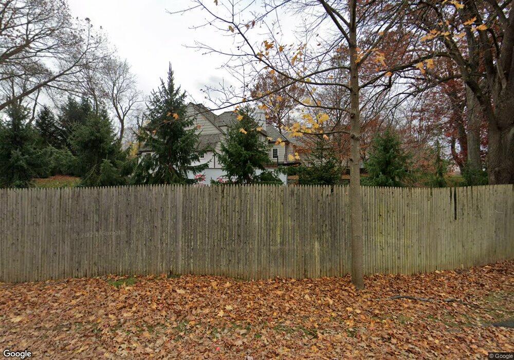
2 Thomas Rd Westport, CT 06880
Westport Village NeighborhoodEstimated Value: $3,289,000 - $3,859,999
5
Beds
8
Baths
5,079
Sq Ft
$704/Sq Ft
Est. Value
About This Home
This home is located at 2 Thomas Rd, Westport, CT 06880 and is currently estimated at $3,576,000, approximately $704 per square foot. 2 Thomas Rd is a home located in Fairfield County with nearby schools including Saugatuck Elementary School, Bedford Middle School, and Staples High School.
Ownership History
Date
Name
Owned For
Owner Type
Purchase Details
Closed on
Jun 1, 2010
Sold by
Epling Richard L and Braley Suzanne
Bought by
Llorens George M and Llorens Amber
Current Estimated Value
Purchase Details
Closed on
Apr 16, 1999
Sold by
Damon Eugene
Bought by
Epling Richard and Braley Suzanne
Purchase Details
Closed on
Jun 14, 1989
Sold by
Tomlin Eliza F
Bought by
Damon Eugene
Create a Home Valuation Report for This Property
The Home Valuation Report is an in-depth analysis detailing your home's value as well as a comparison with similar homes in the area
Home Values in the Area
Average Home Value in this Area
Purchase History
| Date | Buyer | Sale Price | Title Company |
|---|---|---|---|
| Llorens George M | $925,000 | -- | |
| Llorens George M | $925,000 | -- | |
| Epling Richard | $1,150,000 | -- | |
| Epling Richard | $1,150,000 | -- | |
| Damon Eugene | $560,000 | -- |
Source: Public Records
Mortgage History
| Date | Status | Borrower | Loan Amount |
|---|---|---|---|
| Open | Damon Eugene | $450,000 | |
| Closed | Damon Eugene | $191,250 |
Source: Public Records
Tax History
| Year | Tax Paid | Tax Assessment Tax Assessment Total Assessment is a certain percentage of the fair market value that is determined by local assessors to be the total taxable value of land and additions on the property. | Land | Improvement |
|---|---|---|---|---|
| 2025 | $28,092 | $1,489,500 | $441,900 | $1,047,600 |
| 2024 | $27,734 | $1,489,500 | $441,900 | $1,047,600 |
| 2023 | $27,332 | $1,489,500 | $441,900 | $1,047,600 |
| 2022 | $26,915 | $1,489,500 | $441,900 | $1,047,600 |
| 2021 | $9,056 | $1,489,500 | $441,900 | $1,047,600 |
| 2020 | $20,954 | $1,254,000 | $465,500 | $788,500 |
| 2019 | $7,059 | $1,254,000 | $423,200 | $830,800 |
| 2018 | $8,684 | $1,254,000 | $423,200 | $830,800 |
| 2017 | $8,523 | $1,254,000 | $423,200 | $830,800 |
| 2016 | $21,142 | $1,254,000 | $423,200 | $830,800 |
| 2015 | $20,885 | $1,154,500 | $340,800 | $813,700 |
| 2014 | $20,712 | $1,154,500 | $340,800 | $813,700 |
Source: Public Records
Map
Nearby Homes
Your Personal Tour Guide
Ask me questions while you tour the home.