2 Top Flight Dr Unit D Norton, MA 02766
Estimated Value: $538,558 - $560,000
2
Beds
2
Baths
2,296
Sq Ft
$239/Sq Ft
Est. Value
About This Home
This home is located at 2 Top Flight Dr Unit D, Norton, MA 02766 and is currently estimated at $548,890, approximately $239 per square foot. 2 Top Flight Dr Unit D is a home located in Bristol County with nearby schools including J.C. Solmonese Elementary School, Henri A. Yelle Elementary School, and Norton Middle School.
Ownership History
Date
Name
Owned For
Owner Type
Purchase Details
Closed on
May 30, 2007
Sold by
Berry Megan M and Berry Scott S
Bought by
Rigo Eve S and Rigo George J
Current Estimated Value
Home Financials for this Owner
Home Financials are based on the most recent Mortgage that was taken out on this home.
Original Mortgage
$268,000
Interest Rate
6.24%
Mortgage Type
Purchase Money Mortgage
Purchase Details
Closed on
Jan 31, 2002
Sold by
Baril Dennis R and Baril Donna M
Bought by
Berry Scott S and Bercury Megan M
Home Financials for this Owner
Home Financials are based on the most recent Mortgage that was taken out on this home.
Original Mortgage
$256,500
Interest Rate
7.15%
Mortgage Type
Purchase Money Mortgage
Create a Home Valuation Report for This Property
The Home Valuation Report is an in-depth analysis detailing your home's value as well as a comparison with similar homes in the area
Home Values in the Area
Average Home Value in this Area
Purchase History
| Date | Buyer | Sale Price | Title Company |
|---|---|---|---|
| Rigo Eve S | $335,000 | -- | |
| Berry Scott S | $285,000 | -- |
Source: Public Records
Mortgage History
| Date | Status | Borrower | Loan Amount |
|---|---|---|---|
| Open | Berry Scott S | $264,000 | |
| Closed | Rigo Eve S | $268,000 | |
| Previous Owner | Berry Scott S | $256,500 |
Source: Public Records
Tax History Compared to Growth
Tax History
| Year | Tax Paid | Tax Assessment Tax Assessment Total Assessment is a certain percentage of the fair market value that is determined by local assessors to be the total taxable value of land and additions on the property. | Land | Improvement |
|---|---|---|---|---|
| 2025 | $60 | $460,600 | $0 | $460,600 |
| 2024 | $5,818 | $449,300 | $0 | $449,300 |
| 2023 | $5,274 | $406,000 | $0 | $406,000 |
| 2022 | $5,131 | $359,800 | $0 | $359,800 |
| 2021 | $4,981 | $333,600 | $0 | $333,600 |
| 2020 | $4,894 | $330,700 | $0 | $330,700 |
| 2019 | $4,719 | $316,700 | $0 | $316,700 |
| 2018 | $5,070 | $334,400 | $0 | $334,400 |
| 2017 | $4,903 | $319,000 | $0 | $319,000 |
| 2016 | $5,092 | $326,200 | $0 | $326,200 |
| 2015 | $4,923 | $319,900 | $0 | $319,900 |
| 2014 | $4,434 | $288,500 | $0 | $288,500 |
Source: Public Records
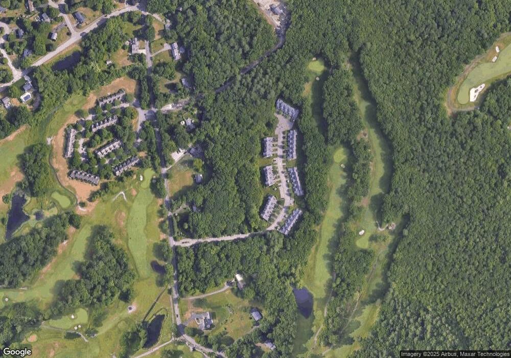
Map
Nearby Homes
- 2 Top Flight Dr Unit B
- 9 Larson Farm Dr
- 27 Taylor Ct
- 37 Oakleaf Dr
- 2 Oak St Unit 2B
- 2 Oak St Unit 2D
- 2 Oak St Unit 2C
- 2 Oak St Unit 2A
- 122 N Worcester St
- 3 Goff Rd
- 3 Village Way Unit B
- 73 Godfrey Dr
- 451R Gilbert St
- 97 N Worcester St
- 24 Coach Rd
- 13 Village Way Unit B
- 250 Mansfield Ave Unit 66
- 157 Mansfield Ave Unit 14
- 16 Park Ln
- 13 Crowe Farm Ln
- 1D Top Flight Dr
- 1 Top Flight Dr Unit 1A
- 6 Top Flight Dr Unit 6C
- 7 Top Flight Dr Unit A
- 7 Top Flight Dr Unit B
- 7 Top Flight Dr Unit C
- 7 Top Flight Dr Unit D
- 7 Top Flight Dr Unit E
- 6 Top Flight Dr Unit D
- 6 Top Flight Dr Unit C
- 6 Top Flight Dr Unit B
- 6 Top Flight Dr Unit A
- 2 Top Flight Dr Unit E
- 2 Top Flight Dr Unit C
- 2 Top Flight Dr Unit A
- 1 Top Flight Dr Unit A
- 1 Top Flight Dr Unit B
- 1 Top Flight Dr Unit C
- 1 Top Flight Dr Unit D
- 1 Top Flight Dr Unit E