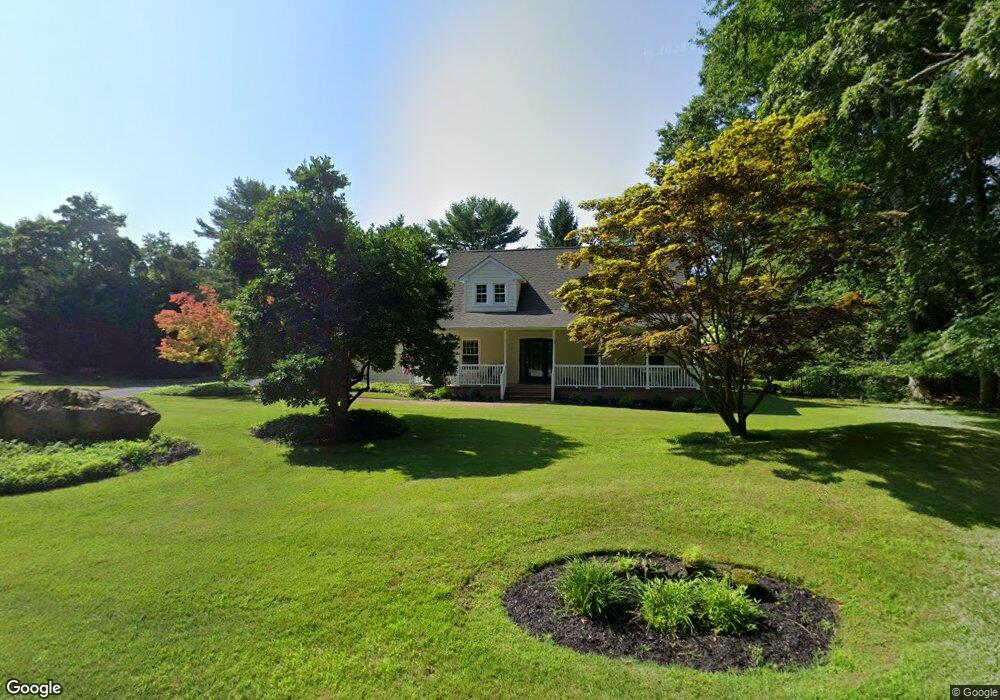
2 Trappers Path Wading River, NY 11792
Estimated Value: $832,956 - $980,000
5
Beds
2
Baths
2,792
Sq Ft
$324/Sq Ft
Est. Value
About This Home
This home is located at 2 Trappers Path, Wading River, NY 11792 and is currently estimated at $904,489, approximately $323 per square foot. 2 Trappers Path is a home located in Suffolk County with nearby schools including Wading River School, Miller Avenue School, and Albert G Prodell Middle School.
Ownership History
Date
Name
Owned For
Owner Type
Purchase Details
Closed on
Sep 30, 2003
Sold by
Jansen Michael and Jansen Tracy
Bought by
Grillo Vincent and Grillo Lora
Current Estimated Value
Home Financials for this Owner
Home Financials are based on the most recent Mortgage that was taken out on this home.
Original Mortgage
$300,000
Outstanding Balance
$142,107
Interest Rate
6.43%
Mortgage Type
Purchase Money Mortgage
Estimated Equity
$762,382
Purchase Details
Closed on
Feb 8, 1999
Sold by
Urgese Joseph J and Urgese Joanne H
Bought by
Jansen Michael and Jansen Tracy
Home Financials for this Owner
Home Financials are based on the most recent Mortgage that was taken out on this home.
Original Mortgage
$40,000
Interest Rate
6.75%
Mortgage Type
Unknown
Create a Home Valuation Report for This Property
The Home Valuation Report is an in-depth analysis detailing your home's value as well as a comparison with similar homes in the area
Home Values in the Area
Average Home Value in this Area
Purchase History
| Date | Buyer | Sale Price | Title Company |
|---|---|---|---|
| Grillo Vincent | $510,000 | Pyramid Title Agency | |
| Jansen Michael | $258,000 | -- |
Source: Public Records
Mortgage History
| Date | Status | Borrower | Loan Amount |
|---|---|---|---|
| Open | Grillo Vincent | $300,000 | |
| Previous Owner | Jansen Michael | $40,000 | |
| Previous Owner | Jansen Michael | $183,000 |
Source: Public Records
Tax History
| Year | Tax Paid | Tax Assessment Tax Assessment Total Assessment is a certain percentage of the fair market value that is determined by local assessors to be the total taxable value of land and additions on the property. | Land | Improvement |
|---|---|---|---|---|
| 2024 | $15,849 | $4,050 | $625 | $3,425 |
| 2023 | $15,849 | $4,050 | $625 | $3,425 |
| 2022 | $14,021 | $4,050 | $625 | $3,425 |
| 2021 | $14,021 | $4,050 | $625 | $3,425 |
| 2020 | $14,372 | $4,050 | $625 | $3,425 |
| 2019 | $14,372 | $0 | $0 | $0 |
| 2018 | $14,889 | $4,050 | $625 | $3,425 |
| 2017 | $14,889 | $4,370 | $625 | $3,745 |
| 2016 | $14,826 | $4,370 | $625 | $3,745 |
| 2015 | -- | $4,370 | $625 | $3,745 |
| 2014 | -- | $4,370 | $625 | $3,745 |
Source: Public Records
Map
Nearby Homes
- 60 Randall Rd
- 30 Long Bow
- 33 Randall Rd
- 247 Dogwood Dr
- 1944 Wading River Manor Rd
- 15 Vee Jay Dr
- 0 Route 25A Unit ONE3585320
- 119 Creek Rd
- 11 Reynolds Rd
- 16 Rocklein Rd
- 12 Jomar Rd
- 230 Lakeside Trail
- 234 Lakeside Trail
- 244 Lakeside Trail
- 31 Valentine Rd
- 215 Lakeside Trail
- 243 Lakeside Trail
- 43 Farm Rd N
- 32 Valentine Rd
- 169 N Side Rd
Your Personal Tour Guide
Ask me questions while you tour the home.