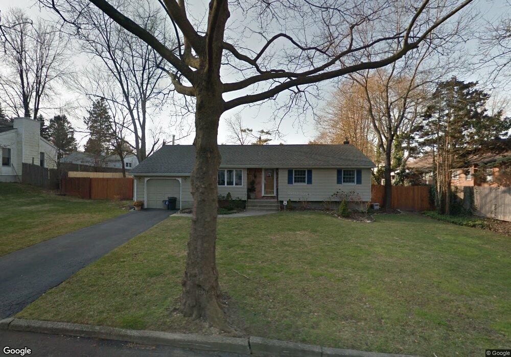
2 Trudy Ct Huntington Station, NY 11746
Estimated Value: $630,730 - $835,000
--
Bed
--
Bath
--
Sq Ft
0.26
Acres
About This Home
This home is located at 2 Trudy Ct, Huntington Station, NY 11746 and is currently estimated at $727,683. 2 Trudy Ct is a home located in Suffolk County with nearby schools including Woodhull Intermediate School, Washington School, and J Taylor Finley Middle School.
Ownership History
Date
Name
Owned For
Owner Type
Purchase Details
Closed on
Jul 28, 2010
Sold by
Mead Geoffrey R and Mead Marianne
Bought by
Famiglietti Donna
Current Estimated Value
Home Financials for this Owner
Home Financials are based on the most recent Mortgage that was taken out on this home.
Original Mortgage
$147,000
Outstanding Balance
$97,622
Interest Rate
4.63%
Mortgage Type
Purchase Money Mortgage
Estimated Equity
$630,061
Purchase Details
Closed on
Nov 20, 2002
Sold by
Spencer Denise B and Kaufman Denise B
Bought by
Mead Geoffrey and Mead Marianne
Home Financials for this Owner
Home Financials are based on the most recent Mortgage that was taken out on this home.
Original Mortgage
$275,000
Interest Rate
6.16%
Create a Home Valuation Report for This Property
The Home Valuation Report is an in-depth analysis detailing your home's value as well as a comparison with similar homes in the area
Home Values in the Area
Average Home Value in this Area
Purchase History
| Date | Buyer | Sale Price | Title Company |
|---|---|---|---|
| Famiglietti Donna | $397,000 | -- | |
| Mead Geoffrey | $290,000 | -- |
Source: Public Records
Mortgage History
| Date | Status | Borrower | Loan Amount |
|---|---|---|---|
| Open | Famiglietti Donna | $147,000 | |
| Previous Owner | Mead Geoffrey | $275,000 |
Source: Public Records
Tax History Compared to Growth
Tax History
| Year | Tax Paid | Tax Assessment Tax Assessment Total Assessment is a certain percentage of the fair market value that is determined by local assessors to be the total taxable value of land and additions on the property. | Land | Improvement |
|---|---|---|---|---|
| 2024 | $10,368 | $2,950 | $250 | $2,700 |
| 2023 | $5,184 | $2,950 | $250 | $2,700 |
| 2022 | $10,257 | $2,950 | $250 | $2,700 |
| 2021 | $10,133 | $2,950 | $250 | $2,700 |
| 2020 | $10,006 | $2,950 | $250 | $2,700 |
| 2019 | $20,012 | $0 | $0 | $0 |
| 2018 | $9,401 | $2,950 | $250 | $2,700 |
| 2017 | $9,401 | $2,950 | $250 | $2,700 |
| 2016 | $9,281 | $2,950 | $250 | $2,700 |
| 2015 | -- | $2,950 | $250 | $2,700 |
| 2014 | -- | $2,950 | $250 | $2,700 |
Source: Public Records
Map
Nearby Homes
- 12 Foxdale Ct
- 217 Broadway
- 22 Meadowood Ct
- 98 Woodhull Rd
- 71 Biltmore Cir
- 11 Spring Ct
- 2 Spring Ct
- 62 Lowndes Ave
- 634 Park Ave
- 2202 Townhome Way
- 148 Lenox Rd
- 26 Townhouse Rd S Unit 26
- 200 Lowndes Ave Unit A
- 280 Lowndes Ave Unit 208
- 280 Lowndes Ave Unit 305G
- 280 Lowndes Ave Unit 111G
- 78 Hayloft Ct
- 24 Columbia St
- 1 Ashland Dr
- 0 Tower St