2 Trumbull Rd Waterford, CT 06385
Estimated Value: $447,000 - $578,454
3
Beds
3
Baths
2,079
Sq Ft
$255/Sq Ft
Est. Value
About This Home
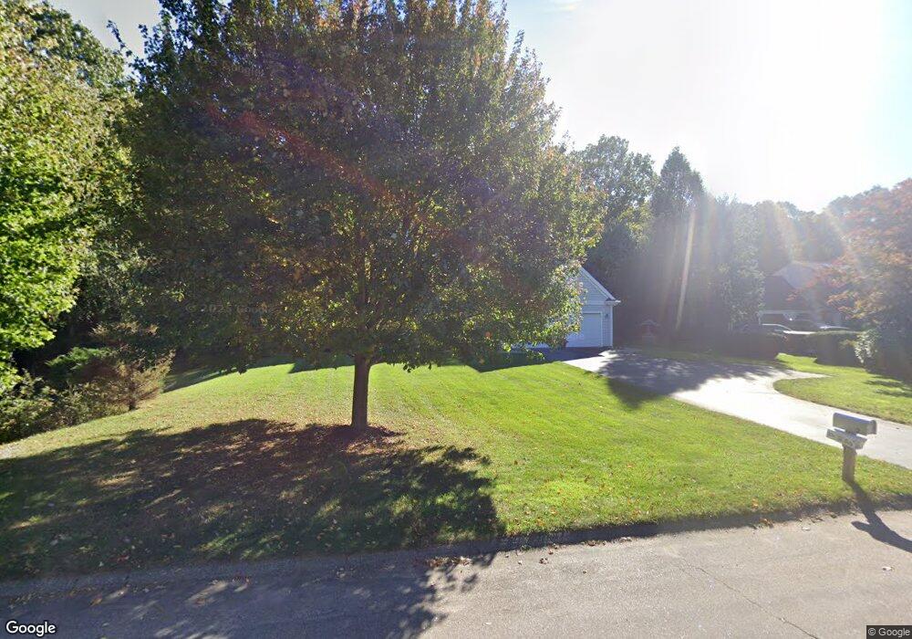
This home is located at 2 Trumbull Rd, Waterford, CT 06385 and is currently estimated at $529,864, approximately $254 per square foot. 2 Trumbull Rd is a home located in New London County with nearby schools including Clark Lane Middle School, Waterford High School, and New London High School Multi-Magnet Campus.
Ownership History
Date
Name
Owned For
Owner Type
Purchase Details
Closed on
Aug 6, 2004
Sold by
Pine Arvin and Pine Roberta E
Bought by
Kaye Susan and Walmers Gerold
Current Estimated Value
Create a Home Valuation Report for This Property
The Home Valuation Report is an in-depth analysis detailing your home's value as well as a comparison with similar homes in the area
Home Values in the Area
Average Home Value in this Area
Purchase History
| Date | Buyer | Sale Price | Title Company |
|---|---|---|---|
| Kaye Susan | $135,100 | -- |
Source: Public Records
Mortgage History
| Date | Status | Borrower | Loan Amount |
|---|---|---|---|
| Closed | Kaye Susan | $117,000 | |
| Open | Kaye Susan | $290,000 | |
| Previous Owner | Kaye Susan | $52,000 |
Source: Public Records
Tax History Compared to Growth
Tax History
| Year | Tax Paid | Tax Assessment Tax Assessment Total Assessment is a certain percentage of the fair market value that is determined by local assessors to be the total taxable value of land and additions on the property. | Land | Improvement |
|---|---|---|---|---|
| 2025 | $7,382 | $316,000 | $94,110 | $221,890 |
| 2024 | $7,047 | $316,000 | $94,110 | $221,890 |
| 2023 | $6,699 | $316,000 | $94,110 | $221,890 |
| 2022 | $6,981 | $253,320 | $61,410 | $191,910 |
| 2021 | $7,002 | $253,320 | $61,410 | $191,910 |
| 2020 | $7,060 | $253,320 | $61,410 | $191,910 |
| 2019 | $7,088 | $253,320 | $61,410 | $191,910 |
| 2018 | $6,946 | $253,320 | $61,410 | $191,910 |
| 2017 | $6,903 | $255,390 | $61,410 | $193,980 |
| 2016 | $6,839 | $255,390 | $61,410 | $193,980 |
| 2015 | $6,597 | $255,390 | $61,410 | $193,980 |
| 2014 | $6,334 | $255,390 | $61,410 | $193,980 |
Source: Public Records
Map
Nearby Homes
- 54 Rope Ferry Rd Unit D72
- 54 Rope Ferry Rd Unit H133
- 213 Boston Post Rd
- 23 Whaling Dr
- 18 Whaling Dr
- 270 Boston Post Rd Unit 22
- 6 Hilltop Terrace
- 16 Longview Ave
- 5 Wiemes Ct
- 24 Pine St
- 27 Mullen Hill Rd
- 37 Spithead Rd
- 7 Robin St
- 310 Boston Post Rd Unit 145
- 51 Braman Rd
- 164 Stoneheights Dr Unit 164
- 2 Faye St
- 5 Windy Ridge Place Unit 5
- 84 Stoneheights Dr
- 212 Shore Rd