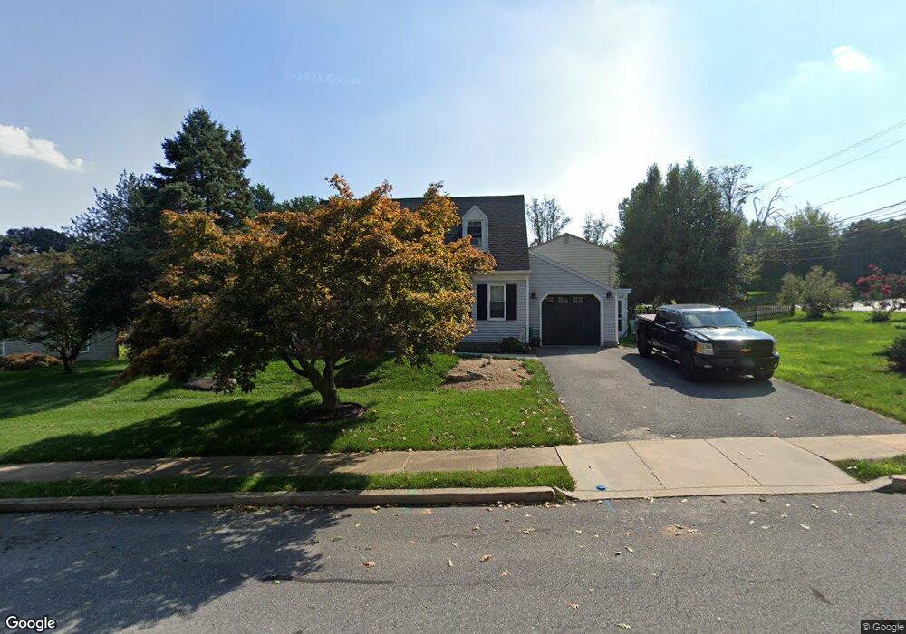
2 Turnbridge Dr Lancaster, PA 17603
Meadia Heights NeighborhoodEstimated Value: $300,362 - $361,000
3
Beds
2
Baths
1,248
Sq Ft
$270/Sq Ft
Est. Value
About This Home
This home is located at 2 Turnbridge Dr, Lancaster, PA 17603 and is currently estimated at $336,341, approximately $269 per square foot. 2 Turnbridge Dr is a home located in Lancaster County with nearby schools including Elizabeth R Martin Elementary School, Wheatland Middle School, and McCaskey High School.
Ownership History
Date
Name
Owned For
Owner Type
Purchase Details
Closed on
Oct 26, 2001
Sold by
Sauers Scottie A and Sauers Sheila A
Bought by
Dieugenio Ronald G and Dieugenio Denise M
Current Estimated Value
Home Financials for this Owner
Home Financials are based on the most recent Mortgage that was taken out on this home.
Original Mortgage
$114,900
Outstanding Balance
$45,239
Interest Rate
6.82%
Mortgage Type
Stand Alone First
Estimated Equity
$291,102
Create a Home Valuation Report for This Property
The Home Valuation Report is an in-depth analysis detailing your home's value as well as a comparison with similar homes in the area
Home Values in the Area
Average Home Value in this Area
Purchase History
| Date | Buyer | Sale Price | Title Company |
|---|---|---|---|
| Dieugenio Ronald G | $114,900 | First American Title Ins Co |
Source: Public Records
Mortgage History
| Date | Status | Borrower | Loan Amount |
|---|---|---|---|
| Open | Dieugenio Ronald G | $114,900 |
Source: Public Records
Tax History
| Year | Tax Paid | Tax Assessment Tax Assessment Total Assessment is a certain percentage of the fair market value that is determined by local assessors to be the total taxable value of land and additions on the property. | Land | Improvement |
|---|---|---|---|---|
| 2025 | $4,017 | $139,300 | $40,700 | $98,600 |
| 2024 | $4,017 | $139,300 | $40,700 | $98,600 |
| 2023 | $3,925 | $139,300 | $40,700 | $98,600 |
| 2022 | $3,691 | $139,300 | $40,700 | $98,600 |
| 2021 | $3,579 | $139,300 | $40,700 | $98,600 |
| 2020 | $3,579 | $139,300 | $40,700 | $98,600 |
| 2019 | $3,503 | $139,300 | $40,700 | $98,600 |
| 2018 | $2,534 | $139,300 | $40,700 | $98,600 |
| 2017 | $3,792 | $116,000 | $29,400 | $86,600 |
| 2016 | $3,723 | $116,000 | $29,400 | $86,600 |
| 2015 | $503 | $116,000 | $29,400 | $86,600 |
| 2014 | $2,668 | $116,000 | $29,400 | $86,600 |
Source: Public Records
Map
Nearby Homes
- 270 Kentshire Dr
- 268 Kentshire Dr
- 1596 New Danville Pike
- 407 Elmshire Dr
- 337 Eckman Rd
- 6 Myrtlewood Ct
- 825 S Pearl St
- 1827 Divot Ct
- 206 Meadia Ave
- 121 Hillard
- 118 Hillard
- 636 Bean Hill Rd
- 340 Wendover Way
- 706 Fairview Ave
- 846 Marjory Terrace
- 622 S Pearl St
- 870 Hilton Dr
- 217 Weatherfield Place
- 449 Hershey Ave
- 65 Mill Pond Dr
- 4 Turnbridge Dr
- 3 Turnbridge Dr
- 150 Second Lock Rd
- 5 Turnbridge Dr
- 7 Turnbridge Dr
- 6 Turnbridge Dr
- 130 Second Lock Rd
- 11 Turnbridge Dr
- 8 Turnbridge Dr
- 1 Stockbridge Cir
- 3 Hoover Rd
- 13 Turnbridge Dr
- 9 Hoover Rd
- 128 Second Lock Rd
- 10 Turnbridge Dr
- 2 Stockbridge Cir
- 15 Turnbridge Dr
- 13 Hoover Rd
- 6 Stockbridge Cir
- 12 Turnbridge Dr
Your Personal Tour Guide
Ask me questions while you tour the home.