2 Twilight Farm Ln Amherst, NH 03031
Estimated Value: $780,000 - $924,000
4
Beds
4
Baths
3,210
Sq Ft
$262/Sq Ft
Est. Value
About This Home
This home is located at 2 Twilight Farm Ln, Amherst, NH 03031 and is currently estimated at $841,973, approximately $262 per square foot. 2 Twilight Farm Ln is a home located in Hillsborough County with nearby schools including Wilkins Elementary School, Amherst Middle School, and Souhegan Cooperative High School.
Ownership History
Date
Name
Owned For
Owner Type
Purchase Details
Closed on
Apr 12, 2021
Sold by
Vordenberg Steven H and Vordenberg Holly J
Bought by
Vordenberg Ft
Current Estimated Value
Purchase Details
Closed on
Sep 2, 2008
Sold by
Jean Leonard A and Jean Nicole F
Bought by
Vordenberg Steven H and Sheppard Holly J
Create a Home Valuation Report for This Property
The Home Valuation Report is an in-depth analysis detailing your home's value as well as a comparison with similar homes in the area
Home Values in the Area
Average Home Value in this Area
Purchase History
| Date | Buyer | Sale Price | Title Company |
|---|---|---|---|
| Vordenberg Ft | -- | None Available | |
| Vordenberg Steven H | $475,000 | -- |
Source: Public Records
Mortgage History
| Date | Status | Borrower | Loan Amount |
|---|---|---|---|
| Previous Owner | Vordenberg Steven H | $348,700 | |
| Previous Owner | Vordenberg Steven H | $352,000 | |
| Previous Owner | Vordenberg Steven H | $380,000 |
Source: Public Records
Tax History
| Year | Tax Paid | Tax Assessment Tax Assessment Total Assessment is a certain percentage of the fair market value that is determined by local assessors to be the total taxable value of land and additions on the property. | Land | Improvement |
|---|---|---|---|---|
| 2025 | $13,789 | $575,000 | $150,200 | $424,800 |
| 2024 | $13,109 | $571,700 | $150,200 | $421,500 |
| 2023 | $12,509 | $571,700 | $150,200 | $421,500 |
| 2022 | $12,080 | $571,700 | $150,200 | $421,500 |
| 2021 | $12,183 | $571,700 | $150,200 | $421,500 |
| 2020 | $15,391 | $422,800 | $120,200 | $302,600 |
| 2019 | $14,569 | $422,800 | $120,200 | $302,600 |
| 2018 | $9,959 | $422,800 | $120,200 | $302,600 |
| 2017 | $10,997 | $422,800 | $120,200 | $302,600 |
| 2016 | $9,642 | $422,800 | $120,200 | $302,600 |
| 2015 | $9,729 | $367,400 | $132,800 | $234,600 |
| 2014 | $9,795 | $367,400 | $132,800 | $234,600 |
| 2013 | $9,718 | $367,400 | $132,800 | $234,600 |
Source: Public Records
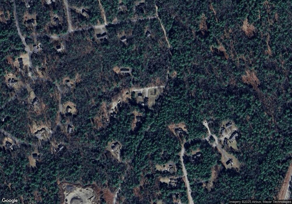
Map
Nearby Homes
- 5 Old Manchester Rd
- 23 Old Manchester Rd
- 0 Orchard View Dr Unit 8
- 5 Whiting Farm Dr
- 19 Highland Dr
- 3 Renee Dr
- 2A Renee Dr
- 6 Odell Dr
- 1B Debbie Ln
- 11 Pine Top Rd
- 19 Baboosic Lake Rd
- 166 Amherst St
- 100 MacK Hill Rd
- 103 MacK Hill Rd
- 7-101 MacK Hill Rd
- 7 Village Woods Dr
- 135 Amherst St Unit 28
- 135 Amherst St Unit 26
- 28 Spring Rd
- 1 Williamsburg Dr
- 28 Dodge Rd
- 4 Twilight Farm Ln
- 1 Twilight Farm Ln
- 14 Fieldstone Dr
- 12 Fieldstone Dr
- 26 Dodge Rd
- 5 Crockett Ln
- 16 Fieldstone Dr
- 7 Crockett Ln
- 10 Fieldstone Dr
- 5 Fieldstone Dr
- 26 Woodland Dr
- 24 Woodland Dr
- 1 Crockett Ln
- 8 Fieldstone Dr
- 2 Jackson Ln Unit D
- 2 Jackson Ln
- 3 Jackson Ln
- 9 Fieldstone Dr Unit c
- 9 Fieldstone Dr Unit D
Your Personal Tour Guide
Ask me questions while you tour the home.