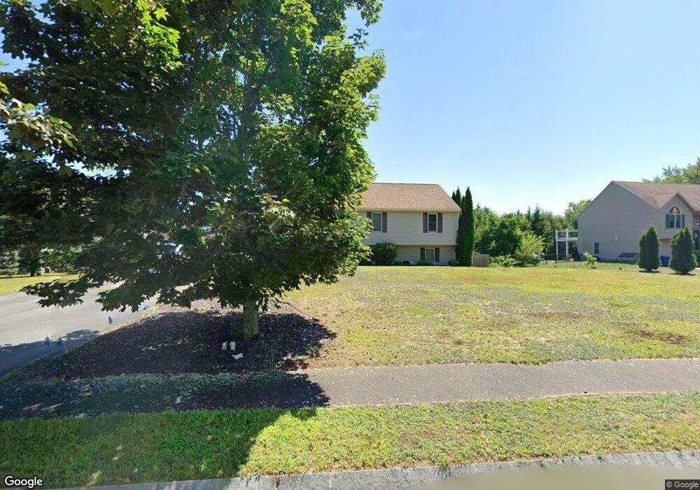
2 Ulmers Farm Rd Norton, MA 02766
Estimated Value: $621,882 - $640,000
4
Beds
3
Baths
1,330
Sq Ft
$475/Sq Ft
Est. Value
About This Home
This home is located at 2 Ulmers Farm Rd, Norton, MA 02766 and is currently estimated at $631,971, approximately $475 per square foot. 2 Ulmers Farm Rd is a home located in Bristol County with nearby schools including J.C. Solmonese Elementary School, Henri A. Yelle Elementary School, and Norton Middle School.
Ownership History
Date
Name
Owned For
Owner Type
Purchase Details
Closed on
Feb 24, 2009
Sold by
Abramson Pamela J
Bought by
Harlow Jeffrey L and Harlow Pamela J
Current Estimated Value
Home Financials for this Owner
Home Financials are based on the most recent Mortgage that was taken out on this home.
Original Mortgage
$270,000
Outstanding Balance
$171,045
Interest Rate
5.06%
Mortgage Type
Purchase Money Mortgage
Estimated Equity
$460,926
Purchase Details
Closed on
Sep 3, 2003
Sold by
Abramson Marc A
Bought by
Abramson Pamela J
Home Financials for this Owner
Home Financials are based on the most recent Mortgage that was taken out on this home.
Original Mortgage
$231,000
Interest Rate
6.02%
Mortgage Type
Purchase Money Mortgage
Purchase Details
Closed on
Nov 1, 1999
Sold by
Ulmer Farm Lot 17 Rt
Bought by
Abramson Marc A and Abramson Pamela J
Home Financials for this Owner
Home Financials are based on the most recent Mortgage that was taken out on this home.
Original Mortgage
$179,400
Interest Rate
7.78%
Mortgage Type
Purchase Money Mortgage
Create a Home Valuation Report for This Property
The Home Valuation Report is an in-depth analysis detailing your home's value as well as a comparison with similar homes in the area
Home Values in the Area
Average Home Value in this Area
Purchase History
| Date | Buyer | Sale Price | Title Company |
|---|---|---|---|
| Harlow Jeffrey L | -- | -- | |
| Abramson Pamela J | -- | -- | |
| Abramson Marc A | $188,870 | -- |
Source: Public Records
Mortgage History
| Date | Status | Borrower | Loan Amount |
|---|---|---|---|
| Open | Harlow Jeffrey L | $270,000 | |
| Previous Owner | Abramson Pamela J | $231,000 | |
| Previous Owner | Abramson Marc A | $179,400 |
Source: Public Records
Tax History Compared to Growth
Tax History
| Year | Tax Paid | Tax Assessment Tax Assessment Total Assessment is a certain percentage of the fair market value that is determined by local assessors to be the total taxable value of land and additions on the property. | Land | Improvement |
|---|---|---|---|---|
| 2025 | $7,270 | $560,500 | $203,500 | $357,000 |
| 2024 | $6,968 | $538,100 | $193,800 | $344,300 |
| 2023 | $6,598 | $507,900 | $182,800 | $325,100 |
| 2022 | $6,427 | $450,700 | $166,200 | $284,500 |
| 2021 | $6,112 | $409,400 | $158,300 | $251,100 |
| 2020 | $5,929 | $400,600 | $153,600 | $247,000 |
| 2019 | $5,854 | $392,900 | $161,200 | $231,700 |
| 2018 | $5,712 | $376,800 | $161,200 | $215,600 |
| 2017 | $5,439 | $353,900 | $161,200 | $192,700 |
| 2016 | $5,289 | $338,800 | $161,200 | $177,600 |
| 2015 | $5,133 | $333,500 | $158,100 | $175,400 |
| 2014 | $4,914 | $319,700 | $150,500 | $169,200 |
Source: Public Records
Map
Nearby Homes
- 16 Park Ln
- 108 S Worcester St
- 145 S Worcester St
- 53 Sturdy St
- 55 Sturdy St
- 170 S Worcester St Unit 3
- 178 S Worcester St
- 225 S Worcester St Unit 1
- 225 S Worcester St Unit 2
- 75 Barrows St
- 4 Village Way Unit F
- 19 Precourt Ln
- 26 Dean St
- 14 Country Club Way
- 38 Danielle St
- 48 Dean St
- 127 John Scott Blvd
- 125 John Scott Blvd
- 180 Pike Ave
- 93 Mansfield Ave