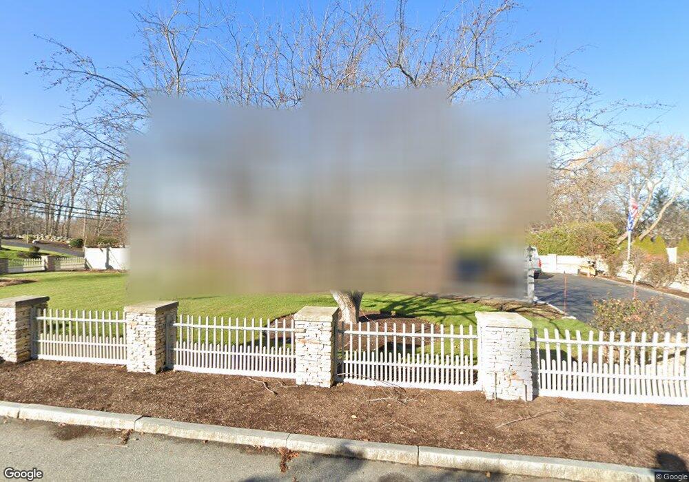
2 Viking Rd Winchester, MA 01890
West Side NeighborhoodEstimated Value: $1,561,000 - $1,858,000
4
Beds
2
Baths
3,572
Sq Ft
$479/Sq Ft
Est. Value
About This Home
This home is located at 2 Viking Rd, Winchester, MA 01890 and is currently estimated at $1,709,353, approximately $478 per square foot. 2 Viking Rd is a home located in Middlesex County with nearby schools including Vinson-Owen Elementary School, McCall Middle School, and Winchester High School.
Ownership History
Date
Name
Owned For
Owner Type
Purchase Details
Closed on
Aug 31, 2018
Sold by
Viking Road 2 Rt and Horiatis
Bought by
Horiatis Steven and Horiatis Anna
Current Estimated Value
Purchase Details
Closed on
Mar 19, 2009
Sold by
Horiatis Evangelos and Horiatis Eleftheria
Bought by
Horiatis Tr Evangelos and Horiatis Arthur
Create a Home Valuation Report for This Property
The Home Valuation Report is an in-depth analysis detailing your home's value as well as a comparison with similar homes in the area
Home Values in the Area
Average Home Value in this Area
Purchase History
| Date | Buyer | Sale Price | Title Company |
|---|---|---|---|
| Horiatis Steven | $1,000,000 | -- | |
| Horiatis Tr Evangelos | -- | -- | |
| Horiatis Tr Evangelos | -- | -- |
Source: Public Records
Mortgage History
| Date | Status | Borrower | Loan Amount |
|---|---|---|---|
| Previous Owner | Horiatis Tr Evangelos | $148,000 |
Source: Public Records
Tax History
| Year | Tax Paid | Tax Assessment Tax Assessment Total Assessment is a certain percentage of the fair market value that is determined by local assessors to be the total taxable value of land and additions on the property. | Land | Improvement |
|---|---|---|---|---|
| 2025 | $177 | $1,592,700 | $1,000,100 | $592,600 |
| 2024 | $16,855 | $1,487,600 | $920,100 | $567,500 |
| 2023 | $15,091 | $1,278,900 | $760,100 | $518,800 |
| 2022 | $15,425 | $1,233,000 | $700,100 | $532,900 |
| 2021 | $14,536 | $1,133,000 | $600,100 | $532,900 |
| 2020 | $13,763 | $1,110,800 | $600,100 | $510,700 |
| 2019 | $12,236 | $1,010,400 | $560,100 | $450,300 |
| 2018 | $11,768 | $965,400 | $515,100 | $450,300 |
| 2017 | $11,403 | $928,600 | $515,100 | $413,500 |
| 2016 | $10,333 | $884,700 | $515,100 | $369,600 |
| 2015 | $9,620 | $792,400 | $449,100 | $343,300 |
| 2014 | $9,685 | $765,000 | $430,100 | $334,900 |
Source: Public Records
Map
Nearby Homes
- 10 Viking Rd
- 37 Mayflower Rd
- 143 Wright St
- 11 Lorraine Terrace
- 12 Elwern Rd
- 337 Washington St
- 15 Mayflower Rd
- 281 Forest St
- 15 Edward Dr Unit 15
- 72 Thesda St
- 114 Johnson Rd
- 0 Reed St
- 69 Edmund Rd
- 30 Whipple Rd
- 66 Hutchinson Rd
- 65 High St
- 28 Emerson Rd
- 455-457 Summer St
- 455 Summer St Unit 455
- 54 Johnson Rd
Your Personal Tour Guide
Ask me questions while you tour the home.