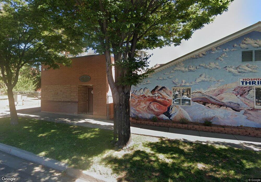
2 W Grouse Cir Kanab, UT 84741
Duck Creek Village NeighborhoodEstimated Value: $271,000 - $538,000
--
Bed
--
Bath
--
Sq Ft
0.67
Acres
About This Home
This home is located at 2 W Grouse Cir, Kanab, UT 84741 and is currently estimated at $404,500. 2 W Grouse Cir is a home with nearby schools including Valley Elementary School and Valley High School.
Ownership History
Date
Name
Owned For
Owner Type
Purchase Details
Closed on
Sep 21, 2020
Sold by
Rosser Deena L
Bought by
Green Todd R and Green Marilyn R
Current Estimated Value
Purchase Details
Closed on
Jan 23, 2009
Sold by
Fackrell Lerl and Fackrell Faye
Bought by
Fackrell Jacob and Fackrell Tamara A
Home Financials for this Owner
Home Financials are based on the most recent Mortgage that was taken out on this home.
Original Mortgage
$108,000
Interest Rate
5.49%
Create a Home Valuation Report for This Property
The Home Valuation Report is an in-depth analysis detailing your home's value as well as a comparison with similar homes in the area
Home Values in the Area
Average Home Value in this Area
Purchase History
| Date | Buyer | Sale Price | Title Company |
|---|---|---|---|
| Green Todd R | -- | -- | |
| Fackrell Jacob | -- | -- |
Source: Public Records
Mortgage History
| Date | Status | Borrower | Loan Amount |
|---|---|---|---|
| Previous Owner | Fackrell Jacob | $108,000 |
Source: Public Records
Tax History Compared to Growth
Tax History
| Year | Tax Paid | Tax Assessment Tax Assessment Total Assessment is a certain percentage of the fair market value that is determined by local assessors to be the total taxable value of land and additions on the property. | Land | Improvement |
|---|---|---|---|---|
| 2025 | $112 | $16,652 | $15,956 | $696 |
| 2024 | $112 | $8,863 | $7,996 | $867 |
| 2023 | $97 | $8,136 | $7,269 | $867 |
| 2022 | $96 | $7,188 | $6,321 | $867 |
| 2021 | $89 | $10,008 | $8,840 | $1,168 |
| 2020 | $74 | $7,968 | $6,800 | $1,168 |
| 2019 | $35 | $3,700 | $3,700 | $0 |
| 2018 | $36 | $3,700 | $3,700 | $0 |
| 2017 | $37 | $3,700 | $3,700 | $0 |
| 2016 | $38 | $3,700 | $3,700 | $0 |
| 2015 | $38 | $3,700 | $3,700 | $0 |
| 2014 | $38 | $3,698 | $3,698 | $0 |
| 2013 | -- | $3,698 | $0 | $0 |
Source: Public Records
Map
Nearby Homes
- 317 Sunflower
- 0 Water Rights
- 330 Rose
- 62 N Fork Rd Stevens Canyon
- 99 North Fork
- 1210 N Homestead Dr
- 117 Fir
- 115 Fir
- 118 N Fir Cir
- 116 Fir
- 111 Creek
- 112 Fir
- 110 Creek
- 6162 Badger
- 20 Acres Stevens Canyon
- 0 20 Acres In Stevens Canyon
- 1590 N Squirrel Dr
- 605759 N Squirrel Dr
- Brown Bear Rd
- 2008 W Brown Bear Rd
- 4120 W Grouse Cir Unit 268
- 4120 W Grouse Cir
- 4120 W Grouse Cir Unit NF2-268 &269
- 4120 W Grouse -Nf2-268&269 Cir
- 660 N Rio Grande Dr
- 580 N Rio Grande Dr
- 610 N Rio Grande Dr
- 640 N Rio Grande Dr
- 580 N Rio Grande Dr Unit 2
- 610 N Rio Grande Dr Unit 2
- 660 N Rio Grande Dr Unit 2
- 640 N Rio Grande Dr Unit 2
- 0 Dr
- 2 W Sunflower Cir
- 505 N Pine Cone Dr
- 610 N Pine Cone Dr
- 480 N N Fork Rd
- 381 N Pine Cone Dr
- 450 N North Fork Rd
- 475 N Pine Cone Dr
