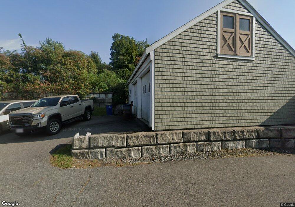
2 Wallace Bashaw Way Newburyport, MA 01950
Estimated Value: $839,000 - $1,115,000
2
Beds
3
Baths
1,653
Sq Ft
$583/Sq Ft
Est. Value
About This Home
This home is located at 2 Wallace Bashaw Way, Newburyport, MA 01950 and is currently estimated at $963,521, approximately $582 per square foot. 2 Wallace Bashaw Way is a home located in Essex County with nearby schools including Francis T. Bresnahan Elementary School, Edward G. Molin Elementary School, and Rupert A. Nock Middle School.
Ownership History
Date
Name
Owned For
Owner Type
Purchase Details
Closed on
Mar 17, 2017
Sold by
Red Horse Farm T
Bought by
Jones Thomas E and Berns Terry J
Current Estimated Value
Home Financials for this Owner
Home Financials are based on the most recent Mortgage that was taken out on this home.
Original Mortgage
$175,000
Outstanding Balance
$91,380
Interest Rate
4.19%
Mortgage Type
New Conventional
Estimated Equity
$872,141
Purchase Details
Closed on
Apr 22, 2008
Sold by
Jone Thomas and Jone Ertrude R
Bought by
Newburyport Medical Ll
Home Financials for this Owner
Home Financials are based on the most recent Mortgage that was taken out on this home.
Original Mortgage
$9,999,999
Interest Rate
6.1%
Mortgage Type
Purchase Money Mortgage
Create a Home Valuation Report for This Property
The Home Valuation Report is an in-depth analysis detailing your home's value as well as a comparison with similar homes in the area
Home Values in the Area
Average Home Value in this Area
Purchase History
| Date | Buyer | Sale Price | Title Company |
|---|---|---|---|
| Jones Thomas E | -- | -- | |
| Newburyport Medical Ll | $1,400,000 | -- |
Source: Public Records
Mortgage History
| Date | Status | Borrower | Loan Amount |
|---|---|---|---|
| Open | Berns Terry J | $60,000 | |
| Open | Jones Thomas E | $175,000 | |
| Previous Owner | Tom&Gert Jones Rt | $9,999,999 | |
| Previous Owner | Tom&Gert Jones Rt | $200,000 | |
| Previous Owner | Tom&Gert Jones Rt | $100,000 | |
| Previous Owner | Tom&Gert Jones Rt | $25,000 |
Source: Public Records
Tax History Compared to Growth
Tax History
| Year | Tax Paid | Tax Assessment Tax Assessment Total Assessment is a certain percentage of the fair market value that is determined by local assessors to be the total taxable value of land and additions on the property. | Land | Improvement |
|---|---|---|---|---|
| 2025 | $8,630 | $900,800 | $410,200 | $490,600 |
| 2024 | $8,539 | $856,500 | $372,900 | $483,600 |
| 2023 | $7,899 | $735,500 | $324,200 | $411,300 |
| 2022 | $7,372 | $613,800 | $270,200 | $343,600 |
| 2021 | $6,998 | $553,600 | $245,700 | $307,900 |
| 2020 | $6,875 | $535,400 | $245,700 | $289,700 |
| 2019 | $6,384 | $488,100 | $245,700 | $242,400 |
| 2018 | $6,333 | $477,600 | $234,000 | $243,600 |
| 2017 | $6,274 | $466,500 | $222,900 | $243,600 |
| 2016 | $6,015 | $449,200 | $212,300 | $236,900 |
| 2015 | $5,695 | $426,900 | $212,300 | $214,600 |
Source: Public Records
Map
Nearby Homes
- 138 Low St
- 110 Low St
- 287 1/2 High St
- 14 Dexter Ln Unit B
- 14 Dexter Ln Unit A
- 42 Myrtle Ave
- 17 Alberta Ave
- 13 Broad St
- 27 Warren St Unit 1
- 288 Merrimac St
- 45 Boardman St Unit 1
- 41 Washington St Unit B
- 266 Merrimac St Unit F
- 44 Washington St Unit C
- 158 Merrimac St Unit 3
- 6 Storey Ave
- 232 Low St Unit 7
- 126 Merrimac St Unit 47
- 126 Merrimac St Unit 35
- 19 Jefferson St
- 130 Low St
- 132 Low St
- 128 Low St Unit 128
- 140 Low St
- 140 Low St Unit A
- 16B Zabriskie Dr Unit 16B
- 16B Zabriskie Dr Unit 16
- 112 Low St
- 142 Low St
- 14 B Zabriskie Dr Unit B
- 14 Zabriskie Dr Unit D
- 14 Zabriskie Dr Unit C
- 14 Zabriskie Dr Unit B
- 14 Zabriskie Dr Unit A
- 135 Low St
- 133 Low St
- 137 Low St
- 144 Low St
- 131 Low St
- 129 Low St