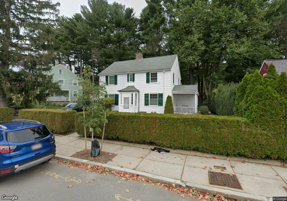
2 Wayburn Rd Jamaica Plain, MA 02130
Jamaica Plain NeighborhoodEstimated Value: $807,000 - $907,991
4
Beds
3
Baths
1,536
Sq Ft
$556/Sq Ft
Est. Value
About This Home
This home is located at 2 Wayburn Rd, Jamaica Plain, MA 02130 and is currently estimated at $853,998, approximately $555 per square foot. 2 Wayburn Rd is a home located in Suffolk County with nearby schools including Brooke Charter School Roslindale, The Croft School - Jamaica Plain, and Sacred Heart STEM School.
Ownership History
Date
Name
Owned For
Owner Type
Purchase Details
Closed on
Sep 4, 2025
Sold by
Clayton A Hoener Ret and Hoener
Bought by
Hoener Lederer Ft and Hoener
Current Estimated Value
Purchase Details
Closed on
May 29, 2020
Sold by
Hoener Clayton A
Bought by
Clayton A Hoener Ret and Hoener
Purchase Details
Closed on
Sep 23, 1987
Sold by
Hughes Ann M
Bought by
Hoener Henry A
Home Financials for this Owner
Home Financials are based on the most recent Mortgage that was taken out on this home.
Original Mortgage
$138,000
Interest Rate
10.37%
Mortgage Type
Purchase Money Mortgage
Create a Home Valuation Report for This Property
The Home Valuation Report is an in-depth analysis detailing your home's value as well as a comparison with similar homes in the area
Home Values in the Area
Average Home Value in this Area
Purchase History
| Date | Buyer | Sale Price | Title Company |
|---|---|---|---|
| Hoener Lederer Ft | -- | -- | |
| Clayton A Hoener Ret | -- | None Available | |
| Hoener Henry A | $172,500 | -- |
Source: Public Records
Mortgage History
| Date | Status | Borrower | Loan Amount |
|---|---|---|---|
| Previous Owner | Hoener Henry A | $332,000 | |
| Previous Owner | Hoener Henry A | $340,000 | |
| Previous Owner | Hoener Henry A | $138,000 |
Source: Public Records
Tax History Compared to Growth
Tax History
| Year | Tax Paid | Tax Assessment Tax Assessment Total Assessment is a certain percentage of the fair market value that is determined by local assessors to be the total taxable value of land and additions on the property. | Land | Improvement |
|---|---|---|---|---|
| 2025 | $8,460 | $730,600 | $227,400 | $503,200 |
| 2024 | $7,720 | $708,300 | $225,900 | $482,400 |
| 2023 | $7,107 | $661,700 | $211,000 | $450,700 |
| 2022 | $6,603 | $606,900 | $193,500 | $413,400 |
| 2021 | $6,287 | $589,200 | $187,900 | $401,300 |
| 2020 | $5,741 | $543,700 | $181,500 | $362,200 |
| 2019 | $5,457 | $517,700 | $152,900 | $364,800 |
| 2018 | $4,844 | $462,200 | $152,900 | $309,300 |
| 2017 | $4,800 | $453,300 | $152,900 | $300,400 |
| 2016 | $4,888 | $444,400 | $152,900 | $291,500 |
| 2015 | $5,017 | $414,300 | $154,700 | $259,600 |
| 2014 | $4,564 | $362,800 | $154,700 | $208,100 |
Source: Public Records
Map
Nearby Homes
- 50 Southbourne Rd
- 31 Rodman St Unit 2
- 31 Rodman St Unit 1
- 18-20 Northbourne Rd Unit 18
- 24 Waterman Rd
- 348-350 Hyde Park Ave Unit 2
- 71 Wyvern St
- 158 Wachusett St Unit 3
- 140 Wachusett St
- 105 Neponset Ave Unit 105
- 602 Canterbury St Unit 14
- 602 Canterbury St Unit 4
- 602 Canterbury St Unit 5
- 602 Canterbury St Unit 2
- 602 Canterbury St Unit 9
- 103 Neponset Ave Unit 103A
- 103-105 Neponset Ave
- 36 Neponset Ave Unit 1
- 579 American Legion Hwy
- 178 Hyde Park Ave Unit 3
- 6 Wayburn Rd
- 32 Eastland Rd
- 10 Wayburn Rd
- 46 Eastland Rd
- 43 Eastland Rd
- 47 Eastland Rd
- 50 Eastland Rd
- 30 Eastland Rd
- 51 Eastland Rd
- 14 Wayburn Rd
- 95 Southbourne Rd
- 15 Wayburn Rd
- 32 Woodbourne Rd
- 55 Eastland Rd
- 84 Bourne St
- 84 Bourne St Unit 2
- 84 Bourne St Unit 1
- 76 Bourne St
- 98 Southbourne Rd
- 56 Eastland Rd