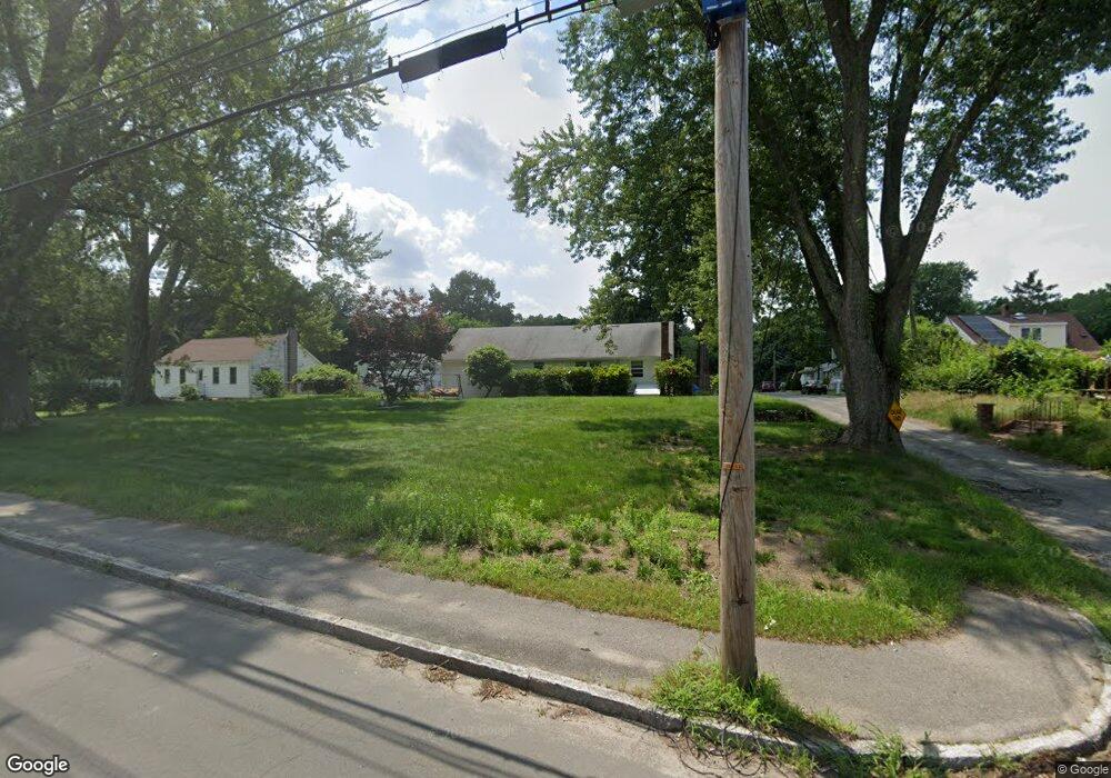
2 Webster Ave Methuen, MA 01844
The North End NeighborhoodEstimated Value: $470,092 - $513,000
3
Beds
1
Bath
987
Sq Ft
$496/Sq Ft
Est. Value
About This Home
This home is located at 2 Webster Ave, Methuen, MA 01844 and is currently estimated at $489,273, approximately $495 per square foot. 2 Webster Ave is a home located in Essex County with nearby schools including Methuen High School, Community Day Charter Public School - Gateway, and Silver Hill Elementary School.
Ownership History
Date
Name
Owned For
Owner Type
Purchase Details
Closed on
Aug 30, 2023
Sold by
Webster Rt and Jamgochian
Bought by
Jamgochian Robert R and Jamgochian Sheri M
Current Estimated Value
Purchase Details
Closed on
Nov 14, 2019
Sold by
Jamgochian Candis P
Bought by
Jamgochian Candis P and Jamgochian Robert R
Purchase Details
Closed on
May 9, 2006
Sold by
Jamgochian Candis P and Jamgochian Robert P
Bought by
Jamgochian Robert P Es and Jamgochian J
Create a Home Valuation Report for This Property
The Home Valuation Report is an in-depth analysis detailing your home's value as well as a comparison with similar homes in the area
Home Values in the Area
Average Home Value in this Area
Purchase History
| Date | Buyer | Sale Price | Title Company |
|---|---|---|---|
| Jamgochian Robert R | -- | None Available | |
| Jamgochian Robert R | -- | None Available | |
| Jamgochian Candis P | -- | None Available | |
| Jamgochian Candis P | -- | None Available | |
| Jamgochian Robert P Es | -- | -- | |
| Jamgochian Robert P Es | -- | -- |
Source: Public Records
Mortgage History
| Date | Status | Borrower | Loan Amount |
|---|---|---|---|
| Previous Owner | Jamgochian Robert P Es | $150,000 | |
| Previous Owner | Jamgochian Robert P Es | $203,000 | |
| Previous Owner | Jamgochian Robert P Es | $25,000 | |
| Previous Owner | Jamgochian Robert P Es | $25,000 |
Source: Public Records
Tax History
| Year | Tax Paid | Tax Assessment Tax Assessment Total Assessment is a certain percentage of the fair market value that is determined by local assessors to be the total taxable value of land and additions on the property. | Land | Improvement |
|---|---|---|---|---|
| 2025 | $4,250 | $401,700 | $226,200 | $175,500 |
| 2024 | $4,140 | $381,200 | $205,600 | $175,600 |
| 2023 | $3,911 | $334,300 | $181,900 | $152,400 |
| 2022 | $3,717 | $284,800 | $150,300 | $134,500 |
| 2021 | $3,497 | $265,100 | $142,300 | $122,800 |
| 2020 | $3,502 | $260,600 | $142,300 | $118,300 |
| 2019 | $3,328 | $234,500 | $134,400 | $100,100 |
| 2018 | $3,274 | $229,400 | $134,400 | $95,000 |
| 2017 | $3,104 | $211,900 | $126,500 | $85,400 |
| 2016 | $3,075 | $207,600 | $126,500 | $81,100 |
| 2015 | $2,878 | $197,100 | $118,600 | $78,500 |
Source: Public Records
Map
Nearby Homes
- 41 Brookdale Ave
- 12 Scotland Heights Rd
- 27 Russell Farm Dr
- 2 Sequoia Dr Unit 2
- 26 Birch Ave
- 70 Birch Ave
- 6 Ferry Rd
- 17 Ferry Rd
- 5 Pilgrim Cir Unit C
- 40 Phoebe St Unit 101
- 625 W Lowell Ave Unit 3
- 655 W Lowell Ave Unit 6
- 23 Sylvan Hill Crossing
- 13 Sylvan Hill Crossing
- 9 Sylvan Hill Crossing
- 55 Phoebe St Unit 32
- 45 Christopher Dr Unit 106
- 7 Sylvan Hill Crossing
- 16 Christopher Dr Unit 38
- 105 Ferry Rd
- 562 Merrimack St
- 1 Webster Ave
- 0 Webster Ave
- 568 Merrimack St
- 10 Webster Ave
- 2 Esmond Ave
- 5 Webster Ave
- 566 Merrimack St
- 558 Merrimack St
- 21 Addison Ave
- 550 Merrimack St
- 570 Merrimack St
- 10 Addison Ave
- 548 Merrimack St
- 1 Esmond Ave
- 2 Brookdale Ave
- 4 Brookdale Ave
- 3 Brookdale Ave
- 542 Merrimack St
- 0 Addison Ave
Your Personal Tour Guide
Ask me questions while you tour the home.