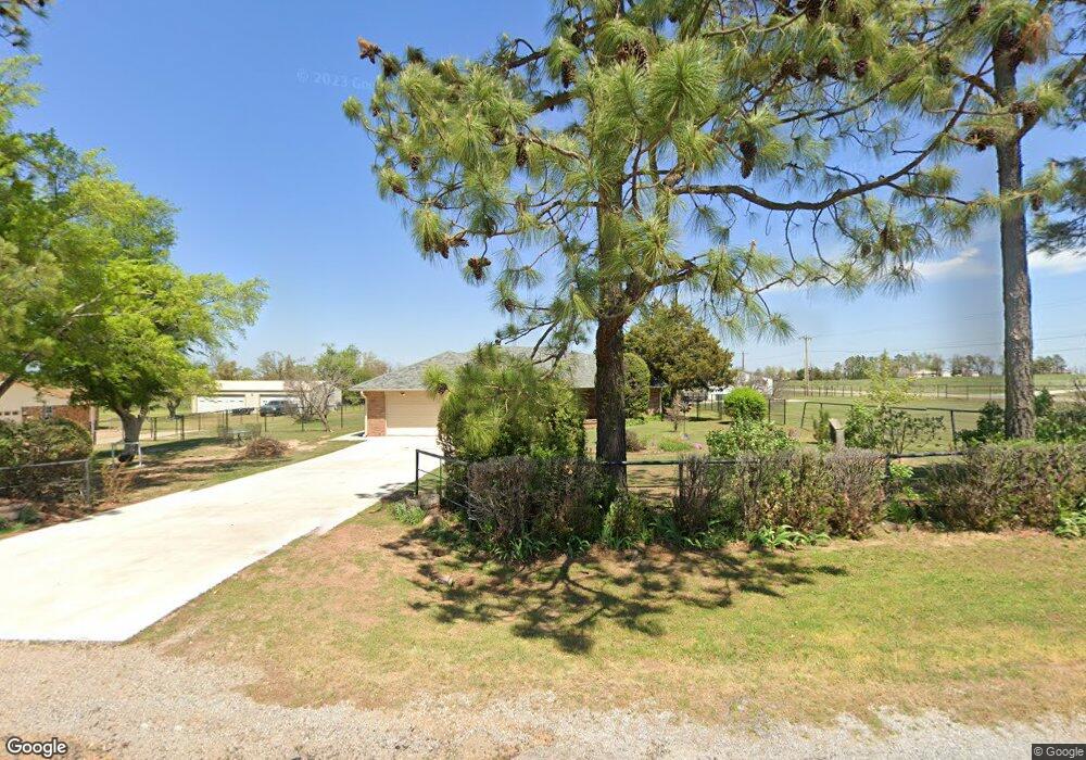
2 Weston Rd Shawnee, OK 74804
Estimated Value: $188,592 - $256,000
3
Beds
2
Baths
1,361
Sq Ft
$165/Sq Ft
Est. Value
About This Home
This home is located at 2 Weston Rd, Shawnee, OK 74804 and is currently estimated at $224,898, approximately $165 per square foot. 2 Weston Rd is a home located in Pottawatomie County with nearby schools including Dale Elementary School, Dale Middle School, and Dale High School.
Ownership History
Date
Name
Owned For
Owner Type
Purchase Details
Closed on
Jun 6, 1996
Sold by
Semler Gary and Semler Sharon
Bought by
Coates Francis and Coates Lori
Current Estimated Value
Purchase Details
Closed on
Nov 29, 1991
Sold by
Clark John and Clark Beulah
Bought by
Semler Gary and Semler Sharon
Purchase Details
Closed on
Oct 9, 1991
Sold by
Reed Randolph and Reed Betty
Bought by
Clark John and Clark Beulah
Create a Home Valuation Report for This Property
The Home Valuation Report is an in-depth analysis detailing your home's value as well as a comparison with similar homes in the area
Purchase History
| Date | Buyer | Sale Price | Title Company |
|---|---|---|---|
| Coates Francis | $79,000 | -- | |
| Semler Gary | -- | -- | |
| Clark John | -- | -- |
Source: Public Records
Tax History
| Year | Tax Paid | Tax Assessment Tax Assessment Total Assessment is a certain percentage of the fair market value that is determined by local assessors to be the total taxable value of land and additions on the property. | Land | Improvement |
|---|---|---|---|---|
| 2025 | $1,274 | $13,039 | $1,800 | $11,239 |
| 2024 | $1,307 | $12,659 | $2,400 | $10,259 |
| 2023 | $1,307 | $12,529 | $2,369 | $10,160 |
| 2022 | $1,146 | $12,164 | $2,282 | $9,882 |
| 2021 | $1,218 | $12,164 | $2,282 | $9,882 |
| 2020 | $1,179 | $11,467 | $2,116 | $9,351 |
| 2019 | $1,186 | $11,132 | $2,020 | $9,112 |
| 2018 | $1,136 | $10,809 | $1,941 | $8,868 |
| 2017 | $1,060 | $10,494 | $1,455 | $9,039 |
| 2016 | $899 | $10,187 | $1,375 | $8,812 |
| 2015 | $849 | $9,892 | $1,463 | $8,429 |
| 2014 | $849 | $9,604 | $1,409 | $8,195 |
Source: Public Records
Map
Nearby Homes
- 36506 Garretts Lake Rd
- 36656 Garrett's Lake Rd
- 0 Coker Rd
- 36236 Prairie Ridge Ct
- 36021 Prairie Rdg Rd
- 9901 Hickory Hollow Rd
- 36701 Timber Rd
- 9959 Hickory Hollow Rd
- 5557 Coker Rd
- 112 Valley View Dr
- 8 Clark Cir
- 42900 Wolverine Rd
- 36601 W 45th St
- 129 Lake Shore Dr
- 121 Lake Shore Dr
- 39755 Demoy Dr
- 10697 Chandler Way
- 38172 W 45th St
- 0 Beccon Rd
- 37802 W Old Highway 270
Your Personal Tour Guide
Ask me questions while you tour the home.