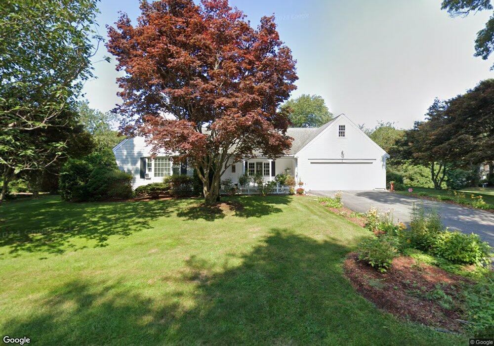
2 Whippoorwill Ln Yarmouth Port, MA 02675
Yarmouth Port NeighborhoodEstimated Value: $858,000 - $1,193,000
3
Beds
2
Baths
1,799
Sq Ft
$537/Sq Ft
Est. Value
About This Home
This home is located at 2 Whippoorwill Ln, Yarmouth Port, MA 02675 and is currently estimated at $965,916, approximately $536 per square foot. 2 Whippoorwill Ln is a home located in Barnstable County with nearby schools including Dennis-Yarmouth Regional High School, St. Pius X. School, and Trinity Christian Academy of Cape Cod.
Ownership History
Date
Name
Owned For
Owner Type
Purchase Details
Closed on
Jun 13, 2006
Sold by
Clancy Anne B
Bought by
Clancy Anne B and Clancy David P
Current Estimated Value
Create a Home Valuation Report for This Property
The Home Valuation Report is an in-depth analysis detailing your home's value as well as a comparison with similar homes in the area
Home Values in the Area
Average Home Value in this Area
Purchase History
| Date | Buyer | Sale Price | Title Company |
|---|---|---|---|
| Clancy Anne B | -- | -- |
Source: Public Records
Tax History Compared to Growth
Tax History
| Year | Tax Paid | Tax Assessment Tax Assessment Total Assessment is a certain percentage of the fair market value that is determined by local assessors to be the total taxable value of land and additions on the property. | Land | Improvement |
|---|---|---|---|---|
| 2025 | $6,187 | $873,900 | $233,700 | $640,200 |
| 2024 | $5,736 | $777,300 | $203,300 | $574,000 |
| 2023 | $5,761 | $710,300 | $191,600 | $518,700 |
| 2022 | $5,586 | $608,500 | $217,700 | $390,800 |
| 2021 | $5,404 | $565,300 | $207,800 | $357,500 |
| 2020 | $5,214 | $521,400 | $207,400 | $314,000 |
| 2019 | $4,879 | $483,100 | $207,400 | $275,700 |
| 2018 | $4,876 | $473,900 | $198,200 | $275,700 |
| 2017 | $4,748 | $473,900 | $198,200 | $275,700 |
| 2016 | $4,730 | $473,900 | $198,200 | $275,700 |
| 2015 | $4,596 | $457,800 | $198,200 | $259,600 |
Source: Public Records
Map
Nearby Homes
- 30 W Woods Cir Unit 30
- 30 W Woods
- 23 Dauphine Dr
- 2 Pine Grove
- 7 Forest Gate Unit 7
- 25 Oak Glen Village Unit 25
- 25 Oak Glen
- 50 John Hall Cartway
- 50 John Hall Cartway Unit 50
- 42 John Hall Cartway Unit 42
- 228 Kates Path
- 17 Kates Path Unit A
- 24 Minnetuxet Way
- 49 Rodoalph's Way
- 34 Kates Path
- 34 Kates Path Unit 34
- 4 Spadoni Way
- 4 Spadoni Rd
- 64 Kates Path
- 43 Canterbury Rd
- 7 Shell Dr
- 1 Whippoorwill Ln
- 2 Shell Dr
- 7 Whippoorwill Ln
- 15 Shell Dr
- 15 Gaslight Dr
- 10 Gaslight Dr
- 1 Windswept Path
- 15 Whippoorwill Ln
- 20 Whippoorwill Ln
- 9 Gaslight Dr
- 119 Homers Dock Rd
- 19 Shell Dr
- 11 Windswept Path
- 125 Homers Dock Rd
- 2 Gaslight Dr
- 23 Whippoorwill Ln
- 2 Windswept Path
- 26 Whippoorwill Ln
- 8 Windswept Path