2 Whitman Ln Westford, MA 01886
Estimated Value: $298,939 - $612,000
2
Beds
2
Baths
1,587
Sq Ft
$315/Sq Ft
Est. Value
About This Home
This home is located at 2 Whitman Ln, Westford, MA 01886 and is currently estimated at $500,485, approximately $315 per square foot. 2 Whitman Ln is a home located in Middlesex County with nearby schools including Col John Robinson, John A. Crisafulli Elementary School, and Blanchard Middle School.
Ownership History
Date
Name
Owned For
Owner Type
Purchase Details
Closed on
Apr 4, 2008
Sold by
Awmw Llc
Bought by
Doherty Stacey A and Doherty Stacey
Current Estimated Value
Home Financials for this Owner
Home Financials are based on the most recent Mortgage that was taken out on this home.
Original Mortgage
$104,300
Outstanding Balance
$66,379
Interest Rate
6.06%
Mortgage Type
Purchase Money Mortgage
Estimated Equity
$434,106
Create a Home Valuation Report for This Property
The Home Valuation Report is an in-depth analysis detailing your home's value as well as a comparison with similar homes in the area
Home Values in the Area
Average Home Value in this Area
Purchase History
| Date | Buyer | Sale Price | Title Company |
|---|---|---|---|
| Doherty Stacey A | $149,000 | -- |
Source: Public Records
Mortgage History
| Date | Status | Borrower | Loan Amount |
|---|---|---|---|
| Open | Doherty Stacey A | $104,300 |
Source: Public Records
Tax History Compared to Growth
Tax History
| Year | Tax Paid | Tax Assessment Tax Assessment Total Assessment is a certain percentage of the fair market value that is determined by local assessors to be the total taxable value of land and additions on the property. | Land | Improvement |
|---|---|---|---|---|
| 2025 | $3,174 | $230,500 | $0 | $230,500 |
| 2024 | $3,174 | $230,500 | $0 | $230,500 |
| 2023 | $3,219 | $218,060 | $0 | $218,060 |
| 2022 | $3,398 | $210,800 | $0 | $210,800 |
| 2021 | $3,235 | $194,400 | $0 | $194,400 |
| 2020 | $3,225 | $197,500 | $0 | $197,500 |
| 2019 | $2,944 | $177,800 | $0 | $177,800 |
| 2018 | $2,877 | $177,800 | $0 | $177,800 |
| 2017 | $2,803 | $170,800 | $0 | $170,800 |
| 2016 | $2,632 | $161,500 | $0 | $161,500 |
| 2015 | $2,623 | $161,500 | $0 | $161,500 |
| 2014 | $2,631 | $158,500 | $0 | $158,500 |
Source: Public Records
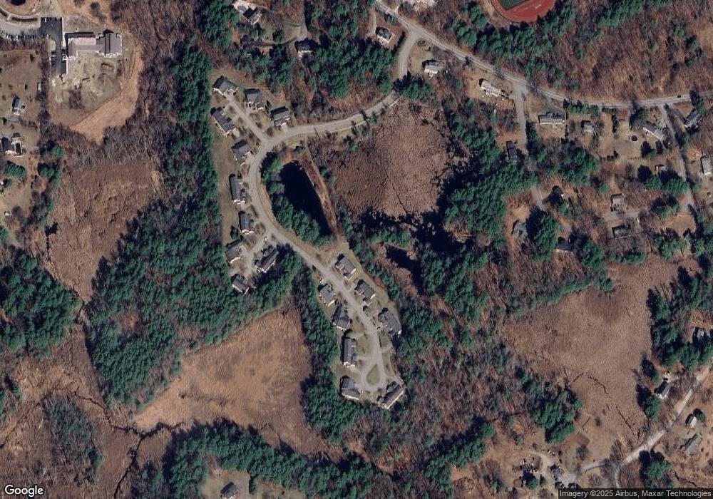
Map
Nearby Homes
- 1 Fieldstone Dr
- 14 Fieldstone Dr
- 22 Carlisle Rd
- 17 Carlisle Rd
- 4 Drew Crossing
- 14 Banbury Dr
- 20 4th Ln
- 7 Little Bear Hill Rd
- 4 Fairview Dr
- 75 Garrison Rd
- 360 Littleton Rd Unit B-1
- 360 Littleton Rd Unit F1
- 5 Carriage Dr
- 9 Lakeside Ave
- 1 Lawton Ave
- 122 Carlisle Rd
- 92 Jimney Dr
- 4 Sinbad Ln
- 209 New Yorker Ave
- 3 Woolsack Dr
- 4 Whitman Ln
- 6 Whitman Ln
- 6 Whitman Ln Unit 6
- 6 Whitman Ln Unit 7
- 7 Southgate Rd
- 5 Southgate Rd
- 7 Southgate Rd Unit 11
- 9 Whitman Ln
- 7 Whitman Ln
- 3 Whitman Ln
- 5 Whitman Ln
- 1 Whitman Ln
- 3 Southgate Rd
- 1 Whitman Ln Unit 1
- 1 Whitman Ln Unit 2
- 13 Southgate Rd
- 11 Southgate Rd
- 9 Southgate Rd
- 9 Southgate Rd Unit 12*
- 11 Southgate Rd Unit 11