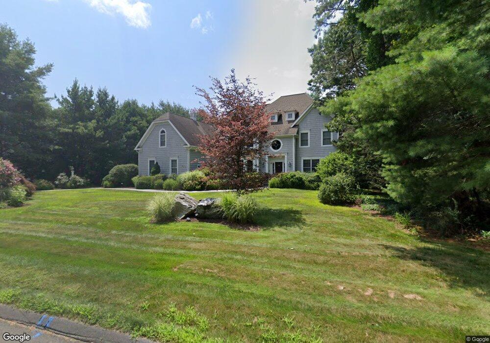
2 Whitney Ln West Simsbury, CT 06092
Estimated Value: $864,817 - $1,046,000
4
Beds
5
Baths
4,689
Sq Ft
$209/Sq Ft
Est. Value
About This Home
This home is located at 2 Whitney Ln, West Simsbury, CT 06092 and is currently estimated at $979,454, approximately $208 per square foot. 2 Whitney Ln is a home located in Hartford County with nearby schools including Central School, Henry James Memorial School, and Simsbury High School.
Ownership History
Date
Name
Owned For
Owner Type
Purchase Details
Closed on
Jun 4, 2018
Sold by
Grise David P and Misko Heidi
Bought by
Grise David P and Grise Heidi M
Current Estimated Value
Purchase Details
Closed on
Apr 15, 2005
Sold by
Nazzaro Benjamin and Palmer Colleen
Bought by
Grise David P
Home Financials for this Owner
Home Financials are based on the most recent Mortgage that was taken out on this home.
Original Mortgage
$350,000
Interest Rate
5.78%
Create a Home Valuation Report for This Property
The Home Valuation Report is an in-depth analysis detailing your home's value as well as a comparison with similar homes in the area
Home Values in the Area
Average Home Value in this Area
Purchase History
| Date | Buyer | Sale Price | Title Company |
|---|---|---|---|
| Grise David P | -- | -- | |
| Grise David P | $855,000 | -- |
Source: Public Records
Mortgage History
| Date | Status | Borrower | Loan Amount |
|---|---|---|---|
| Previous Owner | Grise David P | $293,450 | |
| Previous Owner | Grise David P | $280,000 | |
| Previous Owner | Grise David P | $350,000 |
Source: Public Records
Tax History Compared to Growth
Tax History
| Year | Tax Paid | Tax Assessment Tax Assessment Total Assessment is a certain percentage of the fair market value that is determined by local assessors to be the total taxable value of land and additions on the property. | Land | Improvement |
|---|---|---|---|---|
| 2025 | $21,502 | $629,440 | $120,120 | $509,320 |
| 2024 | $20,967 | $629,440 | $120,120 | $509,320 |
| 2023 | $20,029 | $629,440 | $120,120 | $509,320 |
| 2022 | $18,603 | $481,580 | $127,110 | $354,470 |
| 2021 | $18,603 | $481,580 | $127,110 | $354,470 |
| 2020 | $17,862 | $481,580 | $127,110 | $354,470 |
| 2019 | $17,973 | $481,580 | $127,110 | $354,470 |
| 2018 | $18,103 | $481,580 | $127,110 | $354,470 |
| 2017 | $20,910 | $539,480 | $148,120 | $391,360 |
| 2016 | $19,430 | $523,430 | $148,110 | $375,320 |
| 2015 | $20,025 | $539,480 | $148,120 | $391,360 |
| 2014 | $20,036 | $539,480 | $148,120 | $391,360 |
Source: Public Records
Map
Nearby Homes
- 5 Fox Den Rd
- 18 Meadowlark Rd
- 16 Stratton Forest Way
- 10 Sachems Trail
- 8 Quorn Hunt Rd
- 40 Firetown Rd Unit 39
- 3 Stebbins Brook Ln
- 4 Stebbins Brook Ln
- 141 Firetown Rd
- 1 West St Unit 206
- 301 Bushy Hill Rd
- 48 Library Ln Unit 48
- 15 Sand Hill Rd
- 25 Barry Ln
- 143 N Mountain Rd
- 308 Hopmeadow St
- 21 Christmas Tree Hill
- 23 Red Fox Run
- 395 Bushy Hill Rd
- 247 Old Farms Rd
- 1 Whitney Ln
- 4 Whitney Ln
- 3 Whitney Ln
- 164 Farms Village Rd
- 6 Whitney Ln
- 162 Farms Village Rd
- 162 Farms Village Rd
- 164 Farms Village Rd
- 168 Farms Village Rd
- 173 Farms Village Rd
- 6 Farmstead Ln
- 172 Farms Village Rd
- 3 Fox Den Rd
- 158 Farms Village Rd
- 10 Farmstead Ln
- 8 Whitney Ln
- 7 Whitney Ln
- 6 Harvest Hill Rd
- 156 Farms Village Rd
- 154 Farms Village Rd