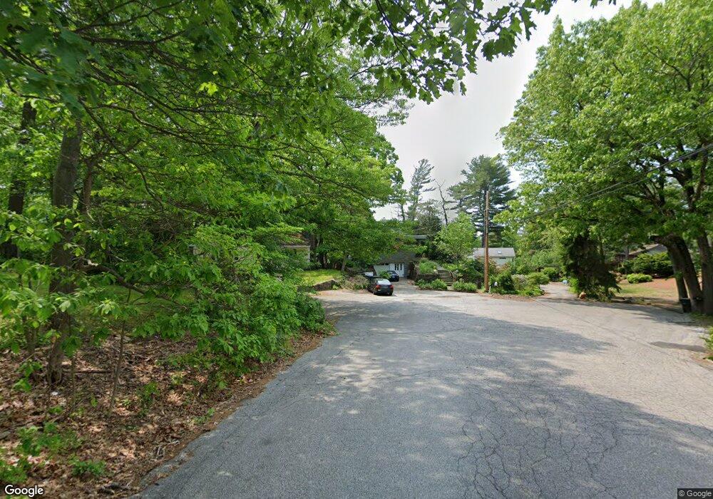
2 Wickliffe Cir Bridgeport, CT 06606
North End NeighborhoodEstimated Value: $499,000 - $586,000
4
Beds
3
Baths
2,204
Sq Ft
$252/Sq Ft
Est. Value
About This Home
This home is located at 2 Wickliffe Cir, Bridgeport, CT 06606 and is currently estimated at $556,158, approximately $252 per square foot. 2 Wickliffe Cir is a home located in Fairfield County with nearby schools including Wilbur L. Cross Elementary School, Central High School, and Northeastern Adventist Academy - Fairfield County.
Ownership History
Date
Name
Owned For
Owner Type
Purchase Details
Closed on
Nov 16, 2007
Sold by
Elder Linda M
Bought by
Elder Linda M and Elder Bruce
Current Estimated Value
Create a Home Valuation Report for This Property
The Home Valuation Report is an in-depth analysis detailing your home's value as well as a comparison with similar homes in the area
Home Values in the Area
Average Home Value in this Area
Purchase History
| Date | Buyer | Sale Price | Title Company |
|---|---|---|---|
| Elder Linda M | -- | -- | |
| Elder Linda M | -- | -- |
Source: Public Records
Mortgage History
| Date | Status | Borrower | Loan Amount |
|---|---|---|---|
| Closed | Elder Linda M | $50,000 | |
| Closed | Elder Linda M | $25,000 |
Source: Public Records
Tax History
| Year | Tax Paid | Tax Assessment Tax Assessment Total Assessment is a certain percentage of the fair market value that is determined by local assessors to be the total taxable value of land and additions on the property. | Land | Improvement |
|---|---|---|---|---|
| 2025 | $11,107 | $255,627 | $95,457 | $160,170 |
| 2024 | $11,107 | $255,627 | $95,457 | $160,170 |
| 2023 | $11,107 | $255,627 | $95,457 | $160,170 |
| 2022 | $11,107 | $255,627 | $95,457 | $160,170 |
| 2021 | $11,107 | $255,627 | $95,457 | $160,170 |
| 2020 | $10,895 | $201,790 | $72,310 | $129,480 |
| 2019 | $10,895 | $201,790 | $72,310 | $129,480 |
| 2018 | $10,971 | $201,790 | $72,310 | $129,480 |
| 2017 | $10,971 | $201,790 | $72,310 | $129,480 |
| 2016 | $10,971 | $201,790 | $72,310 | $129,480 |
| 2015 | $10,292 | $243,880 | $82,000 | $161,880 |
| 2014 | $10,292 | $243,880 | $82,000 | $161,880 |
Source: Public Records
Map
Nearby Homes
- 1376 Chopsey Hill Rd
- 1320 Chopsey Hill Rd
- 74 Village Ln
- 563 Lakeside Dr
- 65 Clearview Dr
- 26 Karen Ct Unit A
- 82 Yaremich Dr
- 165 Yaremich Dr
- 291 Frenchtown Rd
- 26 Victory St
- 142 Chatham Terrace
- 70 Pleasantview Ave
- 365 Platt St
- 410 Alba Ave
- 495 Alba Ave
- 475 Alba Ave
- 936 Chopsey Hill Rd
- 500 Woodlawn Avenue Extension
- 11 Linda Dr
- 93 Oxford St Unit 95
- 10 Wickliffe Cir
- 5 Wickliffe Cir
- 65 Lakeside Dr
- 19 Wickliffe Cir
- 73 Lakeside Dr
- 55 Lakeside Dr
- 9 Wickliffe Cir
- 1485 Chopsey Hill Rd
- 1473 Chopsey Hill Rd
- 1465 Chopsey Hill Rd
- 1497 Chopsey Hill Rd
- 99 Lakeside Dr
- 45 Lakeside Dr
- 1451 Chopsey Hill Rd
- 35 Wickliffe Cir
- 1511 Chopsey Hill Rd
- 70 Lakeside Dr
- 45 Wickliffe Cir
- 30 Wickliffe Cir
- 35 Lakeside Dr
Your Personal Tour Guide
Ask me questions while you tour the home.