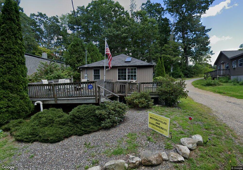
2 Wilson Way Rutland, MA 01543
Estimated Value: $172,000 - $251,000
2
Beds
2
Baths
660
Sq Ft
$346/Sq Ft
Est. Value
About This Home
This home is located at 2 Wilson Way, Rutland, MA 01543 and is currently estimated at $228,374, approximately $346 per square foot. 2 Wilson Way is a home located in Worcester County with nearby schools including Wachusett Regional High School.
Ownership History
Date
Name
Owned For
Owner Type
Purchase Details
Closed on
Sep 5, 2024
Sold by
Wedge Mitchell A
Bought by
Besse Philip F
Current Estimated Value
Purchase Details
Closed on
Jul 30, 2019
Sold by
Besse Philip F
Bought by
Besse Philip F and Besse Mitchell A
Purchase Details
Closed on
Feb 25, 2015
Sold by
Cassidy-Dolan Kathleen T
Bought by
Besse Philip and Swedberg Robert K
Create a Home Valuation Report for This Property
The Home Valuation Report is an in-depth analysis detailing your home's value as well as a comparison with similar homes in the area
Home Values in the Area
Average Home Value in this Area
Purchase History
| Date | Buyer | Sale Price | Title Company |
|---|---|---|---|
| Besse Philip F | -- | None Available | |
| Besse Philip F | -- | None Available | |
| Besse Philip F | -- | -- | |
| Besse Philip F | -- | -- | |
| Besse Philip | -- | -- | |
| Besse Philip | -- | -- | |
| Besse Philip | -- | -- |
Source: Public Records
Tax History Compared to Growth
Tax History
| Year | Tax Paid | Tax Assessment Tax Assessment Total Assessment is a certain percentage of the fair market value that is determined by local assessors to be the total taxable value of land and additions on the property. | Land | Improvement |
|---|---|---|---|---|
| 2025 | $2,636 | $185,100 | $63,500 | $121,600 |
| 2024 | $1,845 | $124,400 | $56,400 | $68,000 |
| 2023 | $1,594 | $116,200 | $53,200 | $63,000 |
| 2022 | $1,588 | $100,600 | $45,300 | $55,300 |
| 2021 | $1,521 | $91,100 | $44,800 | $46,300 |
| 2020 | $1,314 | $74,600 | $36,300 | $38,300 |
| 2019 | $1,265 | $70,700 | $30,800 | $39,900 |
| 2018 | $1,247 | $68,800 | $30,800 | $38,000 |
| 2017 | $1,260 | $68,800 | $30,800 | $38,000 |
| 2016 | $1,256 | $72,300 | $31,100 | $41,200 |
| 2015 | $1,276 | $72,300 | $31,100 | $41,200 |
| 2014 | $1,237 | $72,300 | $31,100 | $41,200 |
Source: Public Records
Map
Nearby Homes
- 4 Wilson Way
- 2 Kosta Ave
- 7 Victoria Ave
- 14 Welch Ave Unit A
- 7 Emerald Rd
- 289 Richards Ave
- 236 Turkey Hill Rd
- LOT 8 Pierre Cir
- 189 Maple Ave
- 11 Brigham Rd
- 176 Maple Ave Unit 1-38
- 176 Maple Ave Unit 3-25
- 176 Maple Ave Unit 2-26
- 43 Irish Ln
- 37 Irish Ln
- 39 Irish Ln
- 217 Grove St
- 7 Prescott St
- 132 Fidelity Dr Unit 61
- 12 Fidelity Dr Unit 6
- 0 Kosta Ave
- 28 Kosta Ave
- 23 Kosta Ave
- 5 Wilson Way
- 24 Kosta Ave
- 21 Kosta Ave
- 3 Nicholas Way
- 2 Nicholas Way
- 296 Maple Ave
- 17 Athens Ave
- 294 Maple Ave Unit LOT2
- 294 Maple Ave
- 294 Maple Ave
- 292 Maple Ave
- 4 Pine Way
- 0 Pine Way and Helen Ave Unit 11230429
- 25 Peters Ave
- 0 Pine Way
- 3 Pine Way
- 21 Peters Ave