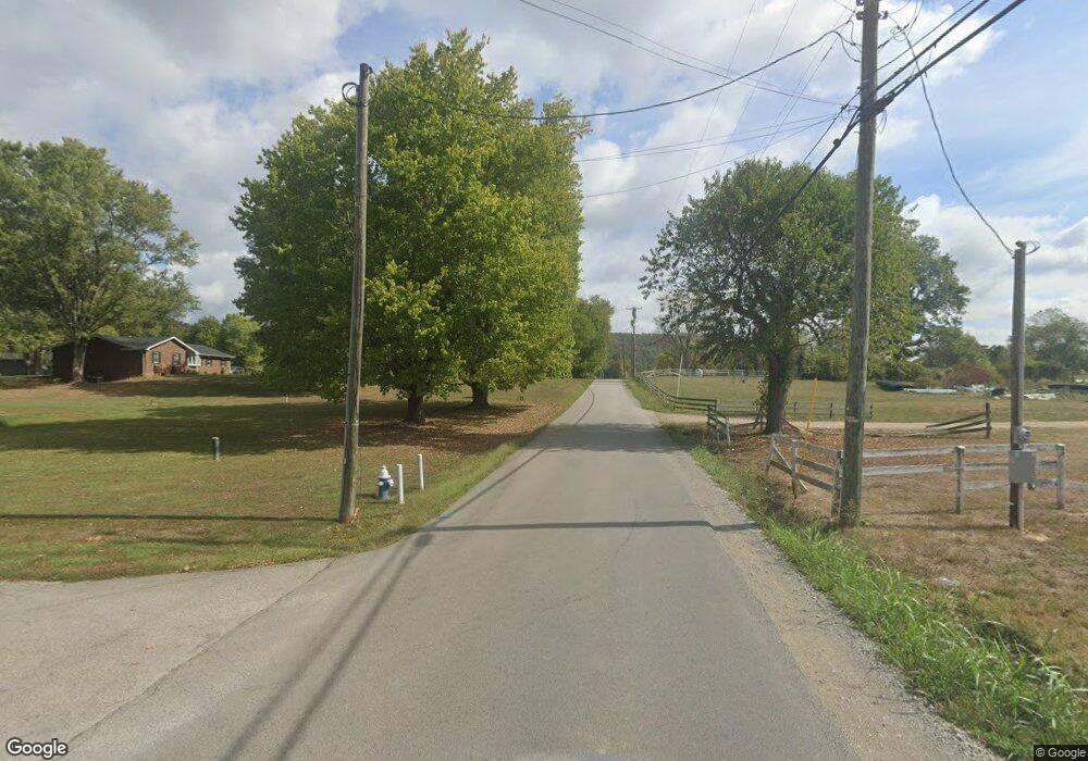
2 Windsong Way Fraziers Bottom, WV 25082
Estimated Value: $356,000 - $482,040
5
Beds
5
Baths
3,530
Sq Ft
$123/Sq Ft
Est. Value
About This Home
This home is located at 2 Windsong Way, Fraziers Bottom, WV 25082 and is currently estimated at $435,260, approximately $123 per square foot. 2 Windsong Way is a home located in Putnam County.
Ownership History
Date
Name
Owned For
Owner Type
Purchase Details
Closed on
Aug 21, 2014
Bought by
Burgess Kevin D and Burgess Della M
Current Estimated Value
Home Financials for this Owner
Home Financials are based on the most recent Mortgage that was taken out on this home.
Original Mortgage
$195,000
Outstanding Balance
$147,873
Interest Rate
4.12%
Mortgage Type
New Conventional
Estimated Equity
$287,387
Purchase Details
Closed on
Aug 29, 2012
Sold by
Teays Valley Trustees Llc
Bought by
Peoples Federal Credit Union
Create a Home Valuation Report for This Property
The Home Valuation Report is an in-depth analysis detailing your home's value as well as a comparison with similar homes in the area
Home Values in the Area
Average Home Value in this Area
Purchase History
| Date | Buyer | Sale Price | Title Company |
|---|---|---|---|
| Burgess Kevin D | $300,000 | -- | |
| Peoples Federal Credit Union | $219,689 | -- |
Source: Public Records
Mortgage History
| Date | Status | Borrower | Loan Amount |
|---|---|---|---|
| Open | Burgess Kevin D | $195,000 |
Source: Public Records
Tax History Compared to Growth
Tax History
| Year | Tax Paid | Tax Assessment Tax Assessment Total Assessment is a certain percentage of the fair market value that is determined by local assessors to be the total taxable value of land and additions on the property. | Land | Improvement |
|---|---|---|---|---|
| 2025 | $2,614 | $226,740 | $25,320 | $201,420 |
| 2024 | $2,614 | $209,100 | $25,320 | $183,780 |
| 2023 | $2,131 | $201,300 | $25,320 | $175,980 |
| 2022 | $2,169 | $199,980 | $26,700 | $173,280 |
| 2021 | $2,191 | $200,940 | $26,700 | $174,240 |
| 2020 | $2,157 | $198,360 | $26,700 | $171,660 |
| 2019 | $2,071 | $188,640 | $28,440 | $160,200 |
| 2018 | $2,032 | $185,100 | $28,440 | $156,660 |
| 2017 | $2,000 | $181,200 | $28,440 | $152,760 |
| 2016 | $1,773 | $162,120 | $17,760 | $144,360 |
| 2015 | $1,780 | $141,480 | $25,500 | $115,980 |
| 2014 | $1,798 | $143,100 | $29,340 | $113,760 |
Source: Public Records
Map
Nearby Homes
- Lot 474 Pebble Creek Dr
- Lot 505 Pebble Creek Dr
- Lot 436 Pebble Creek Dr
- Lot 430 Pebble Creek Dr
- Lot 438 & 440 Pebble Creek Dr
- Lot 503 Pebble Creek Dr
- Lot 428 Pebble Creek Dr
- Lot 406 Pebble Creek Dr
- 227 Alexander's Ave
- 79 Sanctuary Dr
- 118 Sanctuary Dr
- 169 Sanctuary Dr
- 78 Sanctuary Dr
- 86 Sanctuary Dr
- 36 Sanctuary Dr
- 37 Sanctuary Dr
- 126 Sanctuary Dr
- 57 Sanctuary Dr
- 52 Sanctuary Dr
- 130 Sanctuary Dr
- 46 5 and 20 Mile Rd
- 3 Windsong Way
- 333 5 and 20 Mile Rd
- 1 Florence Farley Ln
- 29 Florence Farley Ln
- 7 Windsong Way
- 4 Windsong Way
- 86 Windsong Way
- 10 Windsong Way
- 2 Florence Farley Ln
- 3 Florence Farley Ln
- 51 Florence Farley Ln
- 5 Windsong Way
- 6 Windsong Way
- 83 Florence Farley Ln
- 45 5 and 20 Mile Rd
- 40 5 and 20 Mile Rd
- 6 Florence Farley Ln
- 5 Burgess Ln
- 42 5 and 20 Mile Rd
