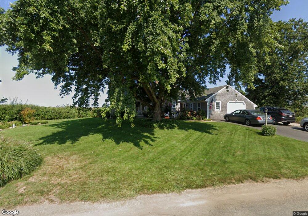
2 Windswept Path Yarmouth Port, MA 02675
Yarmouth Port NeighborhoodEstimated Value: $1,068,000 - $1,305,000
3
Beds
2
Baths
1,804
Sq Ft
$630/Sq Ft
Est. Value
About This Home
This home is located at 2 Windswept Path, Yarmouth Port, MA 02675 and is currently estimated at $1,137,367, approximately $630 per square foot. 2 Windswept Path is a home located in Barnstable County with nearby schools including Dennis-Yarmouth Regional High School.
Ownership History
Date
Name
Owned For
Owner Type
Purchase Details
Closed on
Dec 12, 2014
Sold by
Cullina Sharon M
Bought by
Sharon Cullina T
Current Estimated Value
Purchase Details
Closed on
Feb 28, 2007
Sold by
Wexwater Llc
Bought by
Cullina Sharon M
Home Financials for this Owner
Home Financials are based on the most recent Mortgage that was taken out on this home.
Original Mortgage
$240,000
Interest Rate
6.27%
Mortgage Type
Purchase Money Mortgage
Purchase Details
Closed on
Nov 30, 2005
Sold by
Wolff Jane C
Bought by
Wexwater Llc
Create a Home Valuation Report for This Property
The Home Valuation Report is an in-depth analysis detailing your home's value as well as a comparison with similar homes in the area
Home Values in the Area
Average Home Value in this Area
Purchase History
| Date | Buyer | Sale Price | Title Company |
|---|---|---|---|
| Sharon Cullina T | -- | -- | |
| Cullina Sharon M | $529,000 | -- | |
| Wexwater Llc | $415,781 | -- |
Source: Public Records
Mortgage History
| Date | Status | Borrower | Loan Amount |
|---|---|---|---|
| Previous Owner | Cullina Sharon M | $240,000 |
Source: Public Records
Tax History Compared to Growth
Tax History
| Year | Tax Paid | Tax Assessment Tax Assessment Total Assessment is a certain percentage of the fair market value that is determined by local assessors to be the total taxable value of land and additions on the property. | Land | Improvement |
|---|---|---|---|---|
| 2025 | $7,410 | $1,046,600 | $451,600 | $595,000 |
| 2024 | $6,934 | $939,600 | $392,900 | $546,700 |
| 2023 | $6,942 | $856,000 | $370,400 | $485,600 |
| 2022 | $7,884 | $858,800 | $420,500 | $438,300 |
| 2021 | $7,389 | $772,900 | $401,300 | $371,600 |
| 2020 | $7,319 | $731,900 | $400,200 | $331,700 |
| 2019 | $6,907 | $683,900 | $400,200 | $283,700 |
| 2018 | $6,854 | $666,100 | $382,400 | $283,700 |
| 2017 | $6,674 | $666,100 | $382,400 | $283,700 |
| 2016 | $6,648 | $666,100 | $382,400 | $283,700 |
| 2015 | $6,322 | $629,700 | $382,400 | $247,300 |
Source: Public Records
Map
Nearby Homes
- 30 W Woods
- 30 W Woods Cir Unit 30
- 23 Dauphine Dr
- 2 Pine Grove
- 7 Forest Gate Unit 7
- 25 Oak Glen Village Unit 25
- 25 Oak Glen
- 49 Rodoalph's Way
- 50 John Hall Cartway
- 50 John Hall Cartway Unit 50
- 4 Spadoni Way
- 4 Spadoni Rd
- 42 John Hall Cartway Unit 42
- 228 Kates Path
- 17 Kates Path Unit A
- 7 Collins Ave
- 24 Minnetuxet Way
- 34 Kates Path
- 34 Kates Path Unit 34
- 64 Kates Path
- 8 Windswept Path
- 19 Shell Dr
- 1 Windswept Path
- 15 Shell Dr
- 11 Windswept Path
- 7 Shell Dr
- 2 Shell Dr
- 20 Whippoorwill Ln
- 17 Windswept Path
- 2 Whippoorwill Ln
- 26 Whippoorwill Ln
- 23 Windswept Path
- 15 Whippoorwill Ln
- 7 Whippoorwill Ln
- 32 Whippoorwill Ln
- 1 Whippoorwill Ln
- 23 Whippoorwill Ln
- 30 Windswept Path
- 106 Pheasant Cove Cir
- 15 Gaslight Dr