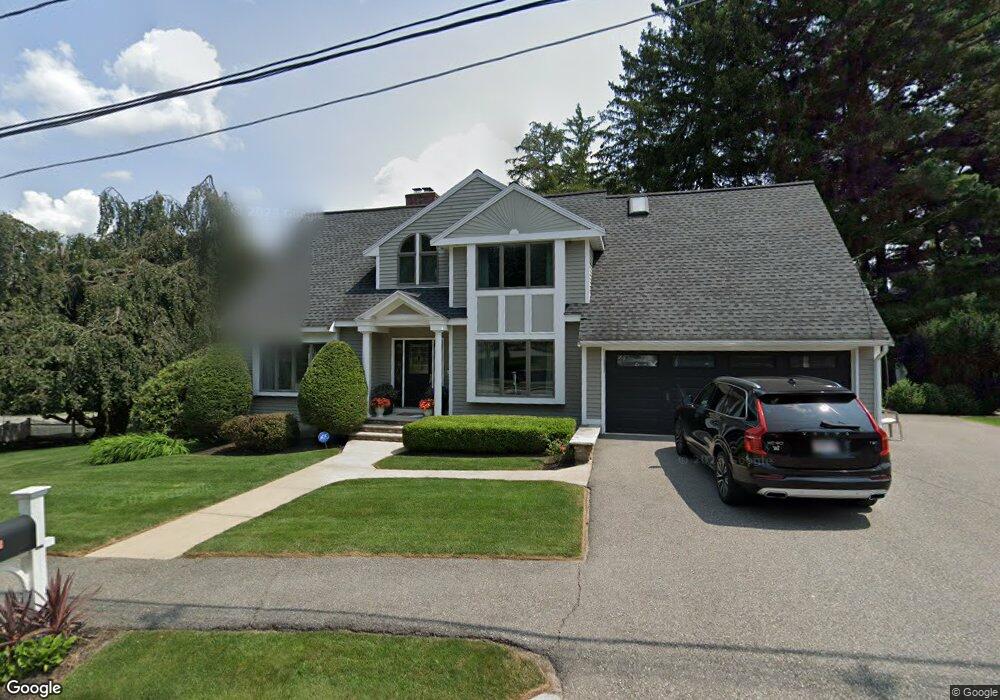
2 Winship Dr Wakefield, MA 01880
West Side NeighborhoodEstimated Value: $1,153,091 - $1,252,000
4
Beds
3
Baths
2,600
Sq Ft
$460/Sq Ft
Est. Value
About This Home
This home is located at 2 Winship Dr, Wakefield, MA 01880 and is currently estimated at $1,195,773, approximately $459 per square foot. 2 Winship Dr is a home located in Middlesex County with nearby schools including Wakefield Memorial High School, St Joseph School, and St. Patrick Elementary School.
Ownership History
Date
Name
Owned For
Owner Type
Purchase Details
Closed on
Oct 2, 2025
Sold by
Clair Victoria
Bought by
Victoria Clair Ret and Clair
Current Estimated Value
Purchase Details
Closed on
Oct 22, 2020
Sold by
Clair Christopher and Clair Victoria
Bought by
Clair Victoria
Home Financials for this Owner
Home Financials are based on the most recent Mortgage that was taken out on this home.
Original Mortgage
$256,800
Interest Rate
2.9%
Mortgage Type
New Conventional
Purchase Details
Closed on
Mar 3, 2005
Sold by
Duval Denise M
Bought by
Clair Christopher and Clair Victoria
Purchase Details
Closed on
May 26, 1998
Sold by
Plunkett James J and Plunkett Maria C
Bought by
Mignosa Michael P and Mignosa Denise D
Create a Home Valuation Report for This Property
The Home Valuation Report is an in-depth analysis detailing your home's value as well as a comparison with similar homes in the area
Home Values in the Area
Average Home Value in this Area
Purchase History
| Date | Buyer | Sale Price | Title Company |
|---|---|---|---|
| Victoria Clair Ret | -- | -- | |
| Clair Victoria | -- | None Available | |
| Clair Christopher | $620,000 | -- | |
| Duval Denise M | -- | -- | |
| Clair Christopher | $620,000 | -- | |
| Duval Denise M | -- | -- | |
| Mignosa Michael P | $372,400 | -- | |
| Mignosa Michael P | $372,400 | -- |
Source: Public Records
Mortgage History
| Date | Status | Borrower | Loan Amount |
|---|---|---|---|
| Previous Owner | Clair Victoria | $256,800 | |
| Previous Owner | Mignosa Michael P | $409,000 | |
| Previous Owner | Mignosa Michael P | $412,000 | |
| Previous Owner | Mignosa Michael P | $413,000 |
Source: Public Records
Tax History
| Year | Tax Paid | Tax Assessment Tax Assessment Total Assessment is a certain percentage of the fair market value that is determined by local assessors to be the total taxable value of land and additions on the property. | Land | Improvement |
|---|---|---|---|---|
| 2025 | $11,589 | $1,021,100 | $370,800 | $650,300 |
| 2024 | $11,153 | $991,400 | $360,000 | $631,400 |
| 2023 | $10,855 | $925,400 | $336,000 | $589,400 |
| 2022 | $10,182 | $826,500 | $300,000 | $526,500 |
| 2021 | $9,008 | $707,600 | $273,600 | $434,000 |
| 2020 | $8,876 | $695,100 | $268,800 | $426,300 |
| 2019 | $8,561 | $667,300 | $258,000 | $409,300 |
| 2018 | $8,359 | $645,500 | $249,600 | $395,900 |
| 2017 | $8,086 | $620,600 | $240,000 | $380,600 |
| 2016 | $8,286 | $614,200 | $233,300 | $380,900 |
| 2015 | $7,821 | $580,200 | $220,300 | $359,900 |
| 2014 | $7,269 | $568,800 | $216,000 | $352,800 |
Source: Public Records
Map
Nearby Homes
- 55 Bartley St
- 248 Albion St Unit 231
- 248 Albion St Unit 321
- 95 Prospect St
- 39 Cedar St
- 62 High St Unit Lot 8
- 62 High St Unit 4
- 62 High St Unit Lot 5
- 62 High St Unit Lot 12
- 62 High St Unit 3
- 3 Valley Rd
- 69 Foundry St Unit 310
- 69 Foundry St Unit 416
- 62 Foundry St Unit 310
- 62 Foundry St Unit 204
- 62 Foundry St Unit 402
- 62 Foundry St Unit 507
- 62 Foundry St Unit 208
- 62 Foundry St Unit 414
- 62 Foundry St Unit 210
Your Personal Tour Guide
Ask me questions while you tour the home.