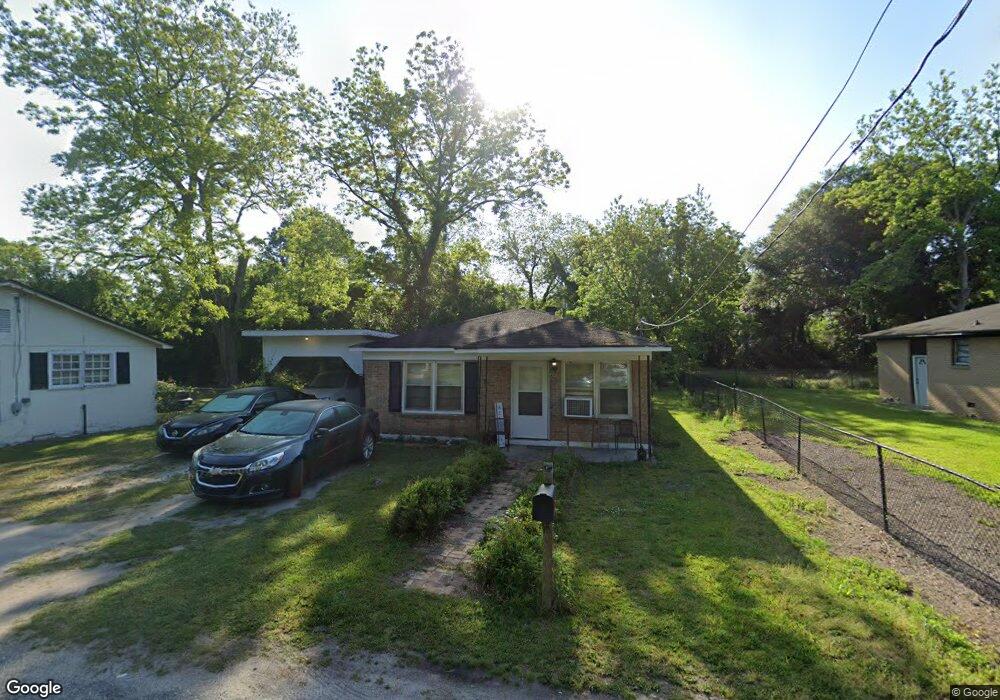
20 1st Ave Manning, SC 29102
Estimated Value: $60,000 - $146,000
--
Bed
--
Bath
1,000
Sq Ft
$88/Sq Ft
Est. Value
About This Home
This home is located at 20 1st Ave, Manning, SC 29102 and is currently estimated at $87,708, approximately $87 per square foot. 20 1st Ave is a home with nearby schools including Manning Early Childhood Center, Manning Elementary School, and Manning Primary School.
Ownership History
Date
Name
Owned For
Owner Type
Purchase Details
Closed on
May 1, 2025
Sold by
Romero Richard Noe
Bought by
Zaqueroz Juan Coello and Sanchez Florina Alva
Current Estimated Value
Purchase Details
Closed on
Apr 22, 2025
Sold by
Graham Charles E
Bought by
Romero Richard Noe
Purchase Details
Closed on
Jul 2, 2020
Sold by
Central Christian University Of Sc
Bought by
Graham Charles E
Purchase Details
Closed on
Oct 2, 2019
Sold by
Stoneridge Llc
Bought by
Christian University Sc
Create a Home Valuation Report for This Property
The Home Valuation Report is an in-depth analysis detailing your home's value as well as a comparison with similar homes in the area
Home Values in the Area
Average Home Value in this Area
Purchase History
| Date | Buyer | Sale Price | Title Company |
|---|---|---|---|
| Zaqueroz Juan Coello | $65,000 | None Listed On Document | |
| Romero Richard Noe | $40,000 | None Listed On Document | |
| Romero Richard Noe | $40,000 | None Listed On Document | |
| Graham Charles E | -- | None Available | |
| Christian University Sc | -- | -- |
Source: Public Records
Tax History Compared to Growth
Tax History
| Year | Tax Paid | Tax Assessment Tax Assessment Total Assessment is a certain percentage of the fair market value that is determined by local assessors to be the total taxable value of land and additions on the property. | Land | Improvement |
|---|---|---|---|---|
| 2024 | $1,489 | $2,748 | $300 | $2,448 |
| 2023 | $1,446 | $2,748 | $300 | $2,448 |
| 2022 | $1,429 | $2,748 | $300 | $2,448 |
| 2021 | $1,469 | $2,808 | $300 | $2,508 |
| 2020 | $1,336 | $2,808 | $0 | $0 |
| 2019 | $1,241 | $2,688 | $0 | $0 |
| 2018 | $1,217 | $2,688 | $0 | $0 |
| 2017 | $1,203 | $2,688 | $0 | $0 |
| 2016 | $1,198 | $2,688 | $0 | $0 |
| 2015 | $1,167 | $2,748 | $180 | $2,568 |
| 2014 | $1,160 | $2,748 | $180 | $2,568 |
| 2013 | -- | $2,748 | $180 | $2,568 |
Source: Public Records
Map
Nearby Homes
- 200 W Boyce St
- 218 Breedin St
- 409 W Boyce St
- 111 Richard St
- W Huggins St
- 40 W Rigby St
- 408 Toccoa Dr
- 107 Sumter St
- 1000 Carolina Way Unit Lot 80
- 1000 Carolina Way
- 101 Sumter St
- 5301 Cypress Pointe #D301
- 1112 Blue Heron Pointe
- 209 Peterson Ln
- 404 S Church St
- 227 N Church St
- 633 Sykes St
- 220 Packard Ln
- 406 Thames St
- 205 E Boyce St