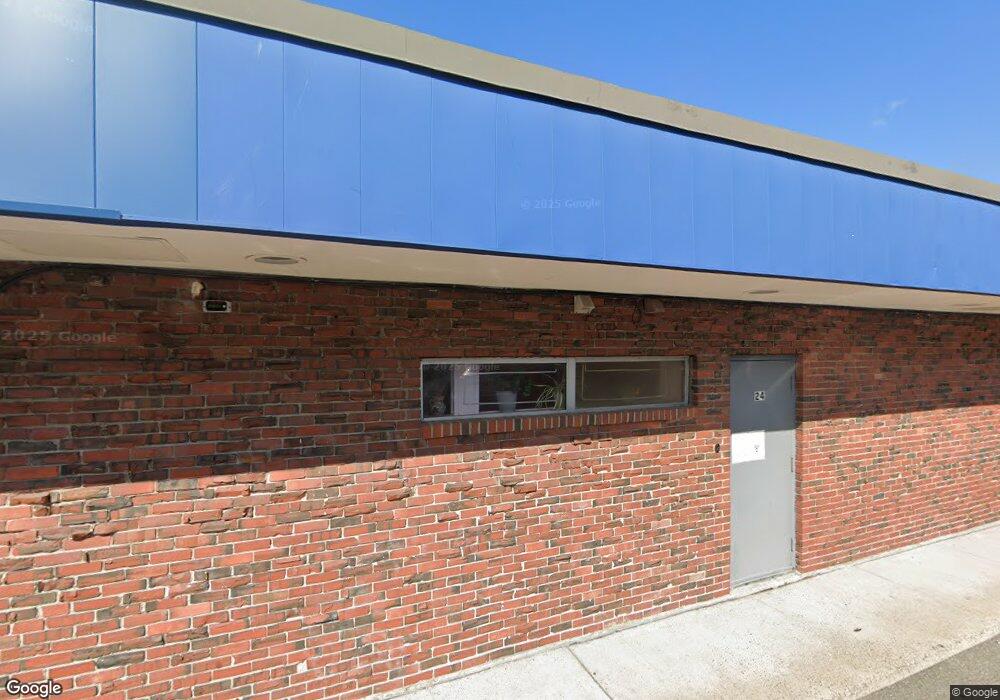
20-34 State St Lynn, MA 01901
Downtown Lynn NeighborhoodEstimated Value: $3,221,948
Studio
--
Bath
10,368
Sq Ft
$311/Sq Ft
Est. Value
About This Home
This home is located at 20-34 State St, Lynn, MA 01901 and is currently estimated at $3,221,948, approximately $310 per square foot. 20-34 State St is a home located in Essex County with nearby schools including Washington Elementary School, William R. Fallon School, and Fecteau-Leary Junior/Senior High School.
Ownership History
Date
Name
Owned For
Owner Type
Purchase Details
Closed on
Sep 2, 2016
Sold by
Admiral Rt and Anderson
Bought by
State St Lynn Realty L
Current Estimated Value
Purchase Details
Closed on
Jan 1, 1969
Bought by
Admiral Rt
Create a Home Valuation Report for This Property
The Home Valuation Report is an in-depth analysis detailing your home's value as well as a comparison with similar homes in the area
Home Values in the Area
Average Home Value in this Area
Purchase History
| Date | Buyer | Sale Price | Title Company |
|---|---|---|---|
| State St Lynn Realty L | $1,811,700 | -- | |
| Admiral Rt | -- | -- |
Source: Public Records
Mortgage History
| Date | Status | Borrower | Loan Amount |
|---|---|---|---|
| Previous Owner | Admiral Rt | $997,000 | |
| Previous Owner | Admiral Rt | $710,000 | |
| Previous Owner | Admiral Rt | $775,000 |
Source: Public Records
Tax History
| Year | Tax Paid | Tax Assessment Tax Assessment Total Assessment is a certain percentage of the fair market value that is determined by local assessors to be the total taxable value of land and additions on the property. | Land | Improvement |
|---|---|---|---|---|
| 2025 | $44,135 | $2,222,300 | $560,600 | $1,661,700 |
| 2024 | $43,030 | $2,132,300 | $533,900 | $1,598,400 |
| 2023 | $44,000 | $2,060,900 | $493,000 | $1,567,900 |
| 2022 | $44,850 | $1,892,400 | $416,900 | $1,475,500 |
| 2021 | $47,243 | $1,888,200 | $416,900 | $1,471,300 |
| 2020 | $48,848 | $1,888,200 | $416,900 | $1,471,300 |
| 2019 | $47,395 | $1,716,600 | $321,800 | $1,394,800 |
| 2018 | $40,980 | $1,391,500 | $241,000 | $1,150,500 |
| 2017 | $28,873 | $941,400 | $234,400 | $707,000 |
| 2016 | $29,059 | $906,400 | $225,400 | $681,000 |
| 2015 | $30,437 | $906,400 | $225,400 | $681,000 |
Source: Public Records
Map
Nearby Homes
- 49 Munroe St Unit 201
- 54 Central Square Unit 4A
- 10 Pleasant St Unit 205
- 13 Willow St Unit 206
- 589 Essex St Unit 102
- 7 Central Square Unit 307
- 50 S Common St Unit 508
- 50 S Common St Unit 405
- 57 Johnson St
- 191-193 Washington St
- 70 Exchange St Unit 206
- 0 High St
- 154 Lynnway Unit 210
- 154 Lynnway Unit 401
- 154 Lynnway Unit 205
- 450 Essex St
- 66 Sagamore St
- 25 Hamilton Ave
- 81A Franklin St
- 98 Lynnway
- 10 State St
- 2 State St
- 148 Pleasant St
- 4 Wheeler St
- 144 Market St
- 144 Market St Unit 2
- 150 Market St Unit 1B
- 150 Market St Unit 3
- 150 Market St Unit 3
- 150-162 Market St Unit 1
- 150 Market St Unit 2-1
- 150 Market St Unit 2-2
- 150 Market St
- 26 Tremont St
- 125 Munroe St
- 1 Munroe St
- 1 Munroe St Unit 3
- 1 Munroe St Unit 2
- 1 Munroe St Unit 5
- 1 Munroe St Unit 6
Your Personal Tour Guide
Ask me questions while you tour the home.