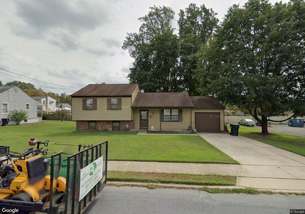
20 5th Ave Glendora, NJ 08029
Estimated Value: $339,095 - $349,000
Studio
--
Bath
1,144
Sq Ft
$301/Sq Ft
Est. Value
About This Home
This home is located at 20 5th Ave, Glendora, NJ 08029 and is currently estimated at $344,524, approximately $301 per square foot. 20 5th Ave is a home located in Camden County with nearby schools including Glen Landing Middle School, Triton High School, and St. Teresa Regional School.
Ownership History
Date
Name
Owned For
Owner Type
Purchase Details
Closed on
Dec 28, 2005
Sold by
Indriso Frank
Bought by
Tighe Eric and Verafaille Michelle
Current Estimated Value
Home Financials for this Owner
Home Financials are based on the most recent Mortgage that was taken out on this home.
Original Mortgage
$165,800
Interest Rate
6.28%
Purchase Details
Closed on
May 29, 1998
Sold by
Pugliese Lucy
Bought by
Indriso Frank and Indriso Anna
Home Financials for this Owner
Home Financials are based on the most recent Mortgage that was taken out on this home.
Original Mortgage
$40,000
Interest Rate
6.98%
Create a Home Valuation Report for This Property
The Home Valuation Report is an in-depth analysis detailing your home's value as well as a comparison with similar homes in the area
Home Values in the Area
Average Home Value in this Area
Purchase History
| Date | Buyer | Sale Price | Title Company |
|---|---|---|---|
| Tighe Eric | $206,000 | -- | |
| Indriso Frank | $80,000 | -- |
Source: Public Records
Mortgage History
| Date | Status | Borrower | Loan Amount |
|---|---|---|---|
| Previous Owner | Tighe Eric | $165,800 | |
| Previous Owner | Indriso Frank | $40,000 |
Source: Public Records
Tax History Compared to Growth
Tax History
| Year | Tax Paid | Tax Assessment Tax Assessment Total Assessment is a certain percentage of the fair market value that is determined by local assessors to be the total taxable value of land and additions on the property. | Land | Improvement |
|---|---|---|---|---|
| 2025 | $7,970 | $188,600 | $49,000 | $139,600 |
| 2024 | $7,704 | $188,600 | $49,000 | $139,600 |
| 2023 | $7,704 | $188,600 | $49,000 | $139,600 |
| 2022 | $7,663 | $188,600 | $49,000 | $139,600 |
| 2021 | $7,503 | $188,600 | $49,000 | $139,600 |
| 2020 | $7,508 | $188,600 | $49,000 | $139,600 |
| 2019 | $7,342 | $188,600 | $49,000 | $139,600 |
| 2018 | $7,310 | $188,600 | $49,000 | $139,600 |
| 2017 | $8,517 | $188,600 | $49,000 | $139,600 |
| 2016 | $6,918 | $188,600 | $49,000 | $139,600 |
| 2015 | $6,422 | $188,600 | $49,000 | $139,600 |
| 2014 | $6,384 | $188,600 | $49,000 | $139,600 |
Source: Public Records
Map
Nearby Homes
- 315 Central Ave
- 263 Chestnut St
- 217 3rd Ave
- 535 Main St
- 810 Central Ave
- 300 3rd Ave
- 200 Austin Ave
- 18 E Front St
- 200 Lake Ave
- 32 Lake Ave
- 30 12th Ave
- 239 Lower Landing Rd
- 329 Ridge Ave
- 14 E Evesham Rd
- 1050 Woodland Ave
- 1709 Old Black Horse Pike
- 400 Jefferson Ct
- 27 Lillian Place
- 21 S Oakland Ave
- 420 Zane Ave
- 28 5th Ave
- 10 5th Ave
- 10 5th Ave Unit 128
- 19 4th Ave
- 9 4th Ave
- 25 4th Ave
- 19 5th Ave
- 416 Black Horse Pike
- 410 Black Horse Pike
- 501 Central Ave
- 407 Central Ave
- 38 5th Ave
- 500 Black Horse Pike
- 403 Central Ave
- 509 Central Ave
- 401 Central Ave
- 24 6th Ave
- 330 Black Horse Pike
- 28 6th Ave
- 510 Black Horse Pike