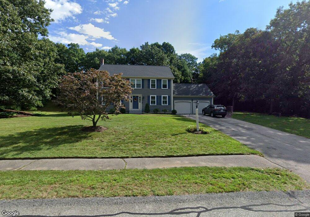
20 Abner Belcher Rd Wrentham, MA 02093
Estimated Value: $787,920 - $1,026,000
4
Beds
3
Baths
2,168
Sq Ft
$405/Sq Ft
Est. Value
About This Home
This home is located at 20 Abner Belcher Rd, Wrentham, MA 02093 and is currently estimated at $878,480, approximately $405 per square foot. 20 Abner Belcher Rd is a home located in Norfolk County with nearby schools including Delaney Elementary School, Charles E Roderick, and Mercymount Country Day School.
Ownership History
Date
Name
Owned For
Owner Type
Purchase Details
Closed on
May 13, 2011
Sold by
Vernon Valerie A
Bought by
Leblanc Stephen P and Leblanc Kristina
Current Estimated Value
Home Financials for this Owner
Home Financials are based on the most recent Mortgage that was taken out on this home.
Original Mortgage
$419,150
Outstanding Balance
$289,081
Interest Rate
4.87%
Mortgage Type
FHA
Estimated Equity
$589,399
Purchase Details
Closed on
May 27, 1993
Sold by
Jkl Bldg Corp
Bought by
Didomenico Ralph G and Didomenico Valerie A
Home Financials for this Owner
Home Financials are based on the most recent Mortgage that was taken out on this home.
Original Mortgage
$135,000
Interest Rate
7.41%
Mortgage Type
Purchase Money Mortgage
Create a Home Valuation Report for This Property
The Home Valuation Report is an in-depth analysis detailing your home's value as well as a comparison with similar homes in the area
Purchase History
| Date | Buyer | Sale Price | Title Company |
|---|---|---|---|
| Leblanc Stephen P | $440,000 | -- | |
| Didomenico Ralph G | $205,000 | -- |
Source: Public Records
Mortgage History
| Date | Status | Borrower | Loan Amount |
|---|---|---|---|
| Open | Leblanc Stephen P | $419,150 | |
| Previous Owner | Didomenico Ralph G | $93,000 | |
| Previous Owner | Didomenico Ralph G | $101,000 | |
| Previous Owner | Didomenico Ralph G | $135,000 |
Source: Public Records
Tax History
| Year | Tax Paid | Tax Assessment Tax Assessment Total Assessment is a certain percentage of the fair market value that is determined by local assessors to be the total taxable value of land and additions on the property. | Land | Improvement |
|---|---|---|---|---|
| 2025 | $8,107 | $699,500 | $302,100 | $397,400 |
| 2024 | $7,747 | $645,600 | $302,100 | $343,500 |
| 2023 | $7,609 | $602,900 | $274,500 | $328,400 |
| 2022 | $7,286 | $533,000 | $256,000 | $277,000 |
| 2021 | $6,731 | $478,400 | $223,400 | $255,000 |
| 2020 | $6,588 | $462,300 | $198,600 | $263,700 |
| 2019 | $6,360 | $450,400 | $198,600 | $251,800 |
| 2018 | $6,593 | $463,000 | $198,900 | $264,100 |
| 2017 | $6,418 | $450,400 | $195,000 | $255,400 |
| 2016 | $6,323 | $442,800 | $189,400 | $253,400 |
| 2015 | $6,310 | $421,200 | $182,100 | $239,100 |
| 2014 | $6,246 | $408,000 | $175,100 | $232,900 |
Source: Public Records
Map
Nearby Homes
- 10 Earle Stewart Ln Unit Lot 5
- 12 Earle Stewart Ln
- 2 Earle Stewart Ln
- 3 Earle Stewart Ln
- 613 West St
- 440 Chestnut St
- 1222 South St
- 135 Creek St Unit 2
- 955 Summer St
- 18 Huntington Ave
- 20 Field Cir
- 19 Chestnut Lot 0
- 0 Berry St
- 10 Nature View Dr
- 15 Nature View Dr
- 500 Franklin St
- 11 Amber Dr
- 0 Fall Ln
- 160 Washington St Unit 22
- 158 Washington St
Your Personal Tour Guide
Ask me questions while you tour the home.