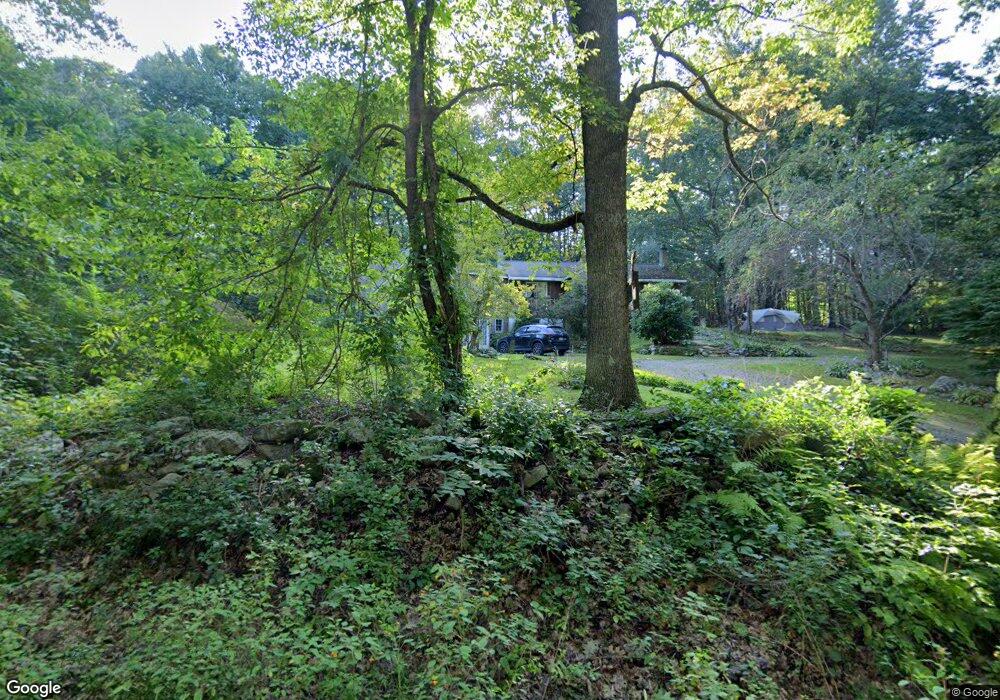
20 Ackley Dr Rochdale, MA 01542
Estimated Value: $476,000 - $564,000
3
Beds
2
Baths
2,443
Sq Ft
$211/Sq Ft
Est. Value
About This Home
This home is located at 20 Ackley Dr, Rochdale, MA 01542 and is currently estimated at $514,424, approximately $210 per square foot. 20 Ackley Dr is a home located in Worcester County with nearby schools including Leicester Integrated Preschool, Leicester Memorial Elementary School, and Leicester Middle School.
Ownership History
Date
Name
Owned For
Owner Type
Purchase Details
Closed on
Dec 3, 2004
Sold by
Iannazzo Philip J and Iannazzo Frances A
Bought by
White Steven R and White Doreen T
Current Estimated Value
Home Financials for this Owner
Home Financials are based on the most recent Mortgage that was taken out on this home.
Original Mortgage
$252,000
Outstanding Balance
$125,866
Interest Rate
5.69%
Mortgage Type
Purchase Money Mortgage
Estimated Equity
$388,558
Purchase Details
Closed on
Jun 30, 1993
Sold by
Ford Consumer Finc
Bought by
Iannazzo Philip J and Iannazzo Frances
Home Financials for this Owner
Home Financials are based on the most recent Mortgage that was taken out on this home.
Original Mortgage
$95,533
Interest Rate
7.46%
Mortgage Type
Purchase Money Mortgage
Create a Home Valuation Report for This Property
The Home Valuation Report is an in-depth analysis detailing your home's value as well as a comparison with similar homes in the area
Home Values in the Area
Average Home Value in this Area
Purchase History
| Date | Buyer | Sale Price | Title Company |
|---|---|---|---|
| White Steven R | $315,000 | -- | |
| Iannazzo Philip J | $95,000 | -- |
Source: Public Records
Mortgage History
| Date | Status | Borrower | Loan Amount |
|---|---|---|---|
| Open | White Steven R | $252,000 | |
| Previous Owner | Iannazzo Philip J | $104,000 | |
| Previous Owner | Iannazzo Philip J | $101,000 | |
| Previous Owner | Iannazzo Philip J | $95,533 |
Source: Public Records
Tax History Compared to Growth
Tax History
| Year | Tax Paid | Tax Assessment Tax Assessment Total Assessment is a certain percentage of the fair market value that is determined by local assessors to be the total taxable value of land and additions on the property. | Land | Improvement |
|---|---|---|---|---|
| 2025 | $48 | $407,800 | $81,000 | $326,800 |
| 2024 | $4,513 | $359,600 | $70,100 | $289,500 |
| 2023 | $4,291 | $333,700 | $70,100 | $263,600 |
| 2022 | $4,144 | $296,200 | $67,000 | $229,200 |
| 2021 | $4,362 | $288,300 | $67,000 | $221,300 |
| 2020 | $3,993 | $267,800 | $64,300 | $203,500 |
| 2019 | $3,812 | $252,800 | $57,800 | $195,000 |
| 2018 | $3,660 | $227,500 | $57,800 | $169,700 |
| 2017 | $3,522 | $227,500 | $57,800 | $169,700 |
| 2016 | $3,397 | $228,000 | $71,900 | $156,100 |
| 2015 | $3,315 | $228,000 | $71,900 | $156,100 |
Source: Public Records
Map
Nearby Homes
- 747-749 Pleasant St
- 2 Wendy Place
- 102 River St
- 1098 Stafford St Unit 9
- 20 Leela Ln
- 3 Edward St Unit 3
- 27 W Applewood Dr
- 10 Edward St
- 748-A Stafford St
- 620 Henshaw St
- 75 Huntoon Memorial Hwy Unit 1-2
- Lot 3 Smith Rd
- Lot 5 Smith Rd
- Lot 4 Smith Rd
- 6 Brickyard Rd
- 66 Pleasant St Unit 16
- 6 Ryans Way Unit 6
- 3 Flagg Dr
- 19 Virginia Dr Unit 19
- 2 Victor Ave