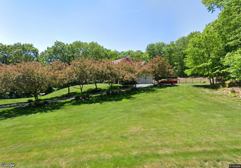
20 Acorn Dr Uxbridge, MA 01569
Estimated Value: $759,218 - $911,000
4
Beds
3
Baths
3,050
Sq Ft
$266/Sq Ft
Est. Value
About This Home
This home is located at 20 Acorn Dr, Uxbridge, MA 01569 and is currently estimated at $812,305, approximately $266 per square foot. 20 Acorn Dr is a home located in Worcester County with nearby schools including Uxbridge High School and Our Lady of the Valley Regional School.
Ownership History
Date
Name
Owned For
Owner Type
Purchase Details
Closed on
Nov 25, 2019
Sold by
Lozinski Lester and Lozinski Elzbieta
Bought by
Lozinski Ft
Current Estimated Value
Purchase Details
Closed on
Jun 27, 2008
Sold by
Bruno Antonio G and Bruno Jessica D
Bought by
Lozinski Elzbieta and Lozinski Lester
Home Financials for this Owner
Home Financials are based on the most recent Mortgage that was taken out on this home.
Original Mortgage
$300,000
Interest Rate
6.07%
Mortgage Type
Purchase Money Mortgage
Purchase Details
Closed on
Jun 15, 2005
Sold by
Tjk Inc
Bought by
Bruno Antonio G and Larock Jessica D
Home Financials for this Owner
Home Financials are based on the most recent Mortgage that was taken out on this home.
Original Mortgage
$498,945
Interest Rate
5.78%
Mortgage Type
Purchase Money Mortgage
Purchase Details
Closed on
Oct 29, 2004
Sold by
Autumn Woods Dev Llc
Bought by
Tjk Inc
Create a Home Valuation Report for This Property
The Home Valuation Report is an in-depth analysis detailing your home's value as well as a comparison with similar homes in the area
Home Values in the Area
Average Home Value in this Area
Purchase History
| Date | Buyer | Sale Price | Title Company |
|---|---|---|---|
| Lozinski Ft | -- | None Available | |
| Lozinski Elzbieta | $475,000 | -- | |
| Bruno Antonio G | $555,000 | -- | |
| Tjk Inc | $190,000 | -- |
Source: Public Records
Mortgage History
| Date | Status | Borrower | Loan Amount |
|---|---|---|---|
| Previous Owner | Lozinski Elzbieta | $300,000 | |
| Previous Owner | Bruno Antonio G | $498,945 |
Source: Public Records
Tax History Compared to Growth
Tax History
| Year | Tax Paid | Tax Assessment Tax Assessment Total Assessment is a certain percentage of the fair market value that is determined by local assessors to be the total taxable value of land and additions on the property. | Land | Improvement |
|---|---|---|---|---|
| 2025 | $80 | $609,300 | $153,200 | $456,100 |
| 2024 | $7,584 | $587,000 | $145,400 | $441,600 |
| 2023 | $7,258 | $520,300 | $125,700 | $394,600 |
| 2022 | $6,590 | $434,700 | $110,000 | $324,700 |
| 2021 | $6,877 | $434,700 | $110,000 | $324,700 |
| 2020 | $7,166 | $428,100 | $117,800 | $310,300 |
| 2019 | $7,263 | $418,600 | $129,600 | $289,000 |
| 2018 | $7,072 | $411,900 | $129,600 | $282,300 |
| 2017 | $6,742 | $397,500 | $116,500 | $281,000 |
| 2016 | $6,840 | $389,300 | $101,900 | $287,400 |
| 2015 | $6,685 | $384,200 | $101,900 | $282,300 |
Source: Public Records
Map
Nearby Homes
- 215 Chestnut St
- 239 Aldrich St
- 70 Chocolog Rd
- 36 Clark Rd
- 15 Turner Farm Rd
- 12 Turner Farm Rd
- 18 Turner Farm Rd
- 45 Turner Farm Rd
- 46 Turner Farm Rd
- 29 Glendale St
- 9 Balm of Life Spring Rd
- 117 Turner Farm Rd
- 127 Turner Farm Rd
- 139 Turner Farm Rd
- 127 Old Millville Rd
- 119 Albee Rd
- 129 Quaker Hwy Unit 6
- 385 River Rd
- 346 Millville Rd
- 328 Millville Rd