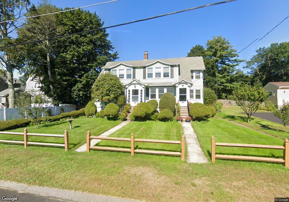
20 Adams Rd Walpole, MA 02081
Estimated Value: $642,965 - $748,000
3
Beds
2
Baths
1,820
Sq Ft
$386/Sq Ft
Est. Value
About This Home
This home is located at 20 Adams Rd, Walpole, MA 02081 and is currently estimated at $701,741, approximately $385 per square foot. 20 Adams Rd is a home located in Norfolk County with nearby schools including Fisher School, Walpole Middle School, and Walpole High School.
Ownership History
Date
Name
Owned For
Owner Type
Purchase Details
Closed on
Feb 28, 2011
Sold by
Bevillacqua Robert J
Bought by
Robert J Bevillacqua T and Bevillacqua Robert J
Current Estimated Value
Purchase Details
Closed on
Jun 1, 2005
Sold by
Johnson David C
Bought by
Bevilacqua Robert J
Home Financials for this Owner
Home Financials are based on the most recent Mortgage that was taken out on this home.
Original Mortgage
$220,000
Interest Rate
5.83%
Mortgage Type
Purchase Money Mortgage
Create a Home Valuation Report for This Property
The Home Valuation Report is an in-depth analysis detailing your home's value as well as a comparison with similar homes in the area
Home Values in the Area
Average Home Value in this Area
Purchase History
| Date | Buyer | Sale Price | Title Company |
|---|---|---|---|
| Robert J Bevillacqua T | -- | -- | |
| Bevilacqua Robert J | $420,000 | -- |
Source: Public Records
Mortgage History
| Date | Status | Borrower | Loan Amount |
|---|---|---|---|
| Previous Owner | Bevilacqua Robert J | $220,000 |
Source: Public Records
Tax History
| Year | Tax Paid | Tax Assessment Tax Assessment Total Assessment is a certain percentage of the fair market value that is determined by local assessors to be the total taxable value of land and additions on the property. | Land | Improvement |
|---|---|---|---|---|
| 2025 | $7,308 | $569,600 | $289,400 | $280,200 |
| 2024 | $7,381 | $558,300 | $278,200 | $280,100 |
| 2023 | $7,373 | $530,800 | $242,000 | $288,800 |
| 2022 | $6,871 | $475,200 | $224,000 | $251,200 |
| 2021 | $6,503 | $438,200 | $211,400 | $226,800 |
| 2020 | $6,255 | $417,300 | $199,400 | $217,900 |
| 2019 | $5,740 | $380,100 | $191,800 | $188,300 |
| 2018 | $5,480 | $358,900 | $184,600 | $174,300 |
| 2017 | $5,343 | $348,500 | $177,500 | $171,000 |
| 2016 | $5,088 | $327,000 | $170,600 | $156,400 |
| 2015 | $4,980 | $317,200 | $162,400 | $154,800 |
| 2014 | $4,778 | $303,200 | $162,400 | $140,800 |
Source: Public Records
Map
Nearby Homes
- 291 Plimpton St
- 241 Fisher St
- 41 Gill St Unit A
- 486 Washington St
- 56 North St
- 246 Pemberton St
- 74 Alandale Pkwy
- 0 Charlotte Rd
- 5 Endicott St Unit 3
- Unit 11 Powder House Ln Unit 11
- 8 Powder House Ln Unit 2
- Unit 12 Powder House Ln Unit 12
- Unit 3 Powder House Ln Unit 3
- 70 Endicott St Unit 401
- 70 Endicott St Unit 701
- 19 and 23 Arlington Ln
- 881 Main St Unit 9
- 272 Union St Unit 272
- 53 Tremont St
- 16 Albemarle Rd
- 26 Adams Rd
- 2 Adams Rd
- 16 Hoover Rd Unit 20
- 20 Hoover Rd Unit 2
- 20 Hoover Rd
- 16 Hoover Rd Unit 16
- 20 Hoover Rd Unit 20
- 32 Adams Rd
- 12 Hoover Rd
- 23 Adams Rd
- 19 Adams Rd
- 249 Main St
- 253 Main St
- 4 Hoover Rd
- 3 Adams Rd
- 31 Adams Rd
- 8 Hoover Rd
- 0 Lot 7 Hooper Rd Unit 4932313
- 243 Main St
- 15 Hoover Rd Unit 19