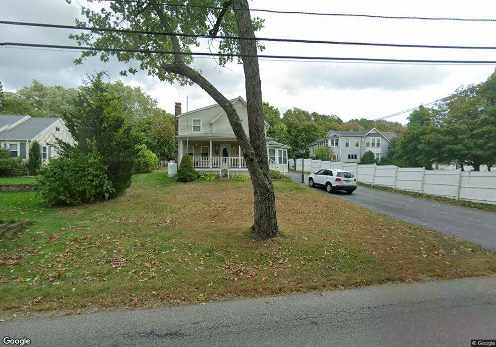
20 Adamsdale Rd North Attleboro, MA 02760
North Attleboro NeighborhoodEstimated Value: $654,304 - $699,000
4
Beds
3
Baths
2,267
Sq Ft
$297/Sq Ft
Est. Value
About This Home
This home is located at 20 Adamsdale Rd, North Attleboro, MA 02760 and is currently estimated at $674,326, approximately $297 per square foot. 20 Adamsdale Rd is a home located in Bristol County with nearby schools including North Attleboro High School, Blackstone Valley Prep Elementary School 1, and Blackstone Valley Prep Elementary School 2.
Ownership History
Date
Name
Owned For
Owner Type
Purchase Details
Closed on
Jan 1, 1972
Bought by
Costa Joseph A and Costa Frances J
Current Estimated Value
Create a Home Valuation Report for This Property
The Home Valuation Report is an in-depth analysis detailing your home's value as well as a comparison with similar homes in the area
Home Values in the Area
Average Home Value in this Area
Purchase History
| Date | Buyer | Sale Price | Title Company |
|---|---|---|---|
| Costa Joseph A | -- | -- |
Source: Public Records
Mortgage History
| Date | Status | Borrower | Loan Amount |
|---|---|---|---|
| Closed | Costa Joseph A | $20,000 |
Source: Public Records
Tax History Compared to Growth
Tax History
| Year | Tax Paid | Tax Assessment Tax Assessment Total Assessment is a certain percentage of the fair market value that is determined by local assessors to be the total taxable value of land and additions on the property. | Land | Improvement |
|---|---|---|---|---|
| 2025 | $6,464 | $548,300 | $135,700 | $412,600 |
| 2024 | $6,166 | $534,300 | $135,700 | $398,600 |
| 2023 | $6,043 | $472,500 | $135,700 | $336,800 |
| 2022 | $5,904 | $423,800 | $128,900 | $294,900 |
| 2021 | $3,783 | $422,300 | $135,700 | $286,600 |
| 2020 | $5,968 | $415,900 | $135,700 | $280,200 |
| 2019 | $5,507 | $386,700 | $117,200 | $269,500 |
| 2018 | $4,881 | $365,300 | $117,200 | $248,100 |
| 2017 | $3,791 | $337,800 | $111,000 | $226,800 |
| 2016 | $4,150 | $313,900 | $123,400 | $190,500 |
| 2015 | $3,934 | $299,400 | $130,300 | $169,100 |
| 2014 | $4,111 | $310,500 | $126,400 | $184,100 |
Source: Public Records
Map
Nearby Homes
- 0 Mendon Rd
- 1 Frederick a Nittel Dr
- 73 Vineyard Ave
- 30 Thomas Ave
- 11 Howarth Ave
- 96 Robinson Ave
- 48 May St
- 457 Bryant St
- 543 Newport Ave
- 370 Bryant St
- 23 Carlson Dr
- 135 Cumberland Ave
- 143 Carrier Ave
- 73 Grandview Dr
- 23 Cumberland Ave
- 17 Lockwood Ave
- 28 Crowell St
- 193 Robinson Ave
- 123 Terrace Ave
- 11 Merlin St