Estimated Value: $416,339 - $453,000
4
Beds
2
Baths
1,664
Sq Ft
$262/Sq Ft
Est. Value
About This Home
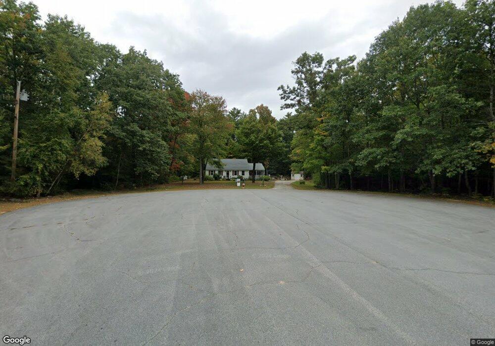
This home is located at 20 Alling Dr, Gray, ME 04039 and is currently estimated at $436,335, approximately $262 per square foot. 20 Alling Dr is a home located in Cumberland County with nearby schools including Gray-New Gloucester High School and Fiddlehead School of Arts & Science.
Ownership History
Date
Name
Owned For
Owner Type
Purchase Details
Closed on
Aug 3, 2009
Sold by
Mains Barry E and Mains Nancy C
Bought by
Klinko Dawna J
Current Estimated Value
Home Financials for this Owner
Home Financials are based on the most recent Mortgage that was taken out on this home.
Original Mortgage
$208,000
Outstanding Balance
$136,026
Interest Rate
5.43%
Mortgage Type
Purchase Money Mortgage
Estimated Equity
$300,309
Create a Home Valuation Report for This Property
The Home Valuation Report is an in-depth analysis detailing your home's value as well as a comparison with similar homes in the area
Home Values in the Area
Average Home Value in this Area
Purchase History
| Date | Buyer | Sale Price | Title Company |
|---|---|---|---|
| Klinko Dawna J | -- | -- |
Source: Public Records
Mortgage History
| Date | Status | Borrower | Loan Amount |
|---|---|---|---|
| Open | Klinko Dawna J | $208,000 |
Source: Public Records
Tax History
| Year | Tax Paid | Tax Assessment Tax Assessment Total Assessment is a certain percentage of the fair market value that is determined by local assessors to be the total taxable value of land and additions on the property. | Land | Improvement |
|---|---|---|---|---|
| 2025 | $3,671 | $379,200 | $137,700 | $241,500 |
| 2024 | $3,678 | $379,200 | $137,700 | $241,500 |
| 2023 | $3,810 | $251,000 | $60,100 | $190,900 |
| 2022 | $3,501 | $251,000 | $60,100 | $190,900 |
| 2021 | $3,308 | $226,400 | $60,400 | $166,000 |
| 2020 | $3,339 | $226,400 | $60,400 | $166,000 |
| 2019 | $3,339 | $226,400 | $60,400 | $166,000 |
| 2018 | $3,170 | $226,400 | $60,400 | $166,000 |
| 2017 | $3,101 | $171,800 | $57,000 | $114,800 |
| 2016 | $3,144 | $171,800 | $57,000 | $114,800 |
| 2015 | $3,127 | $171,800 | $57,000 | $114,800 |
| 2014 | $3,127 | $171,800 | $57,000 | $114,800 |
| 2012 | $2,699 | $170,292 | $57,000 | $113,292 |
Source: Public Records
Map
Nearby Homes
- 65 Blueberry Ln
- 97 N Raymond Rd
- 4 Chelsey Ln
- 72 Shaw Brook Ln
- Lot 21-29 Weymouth Rd
- TBD Targett Rd
- 224 Shaker Rd
- 86 Skips Way
- 14 Golden Way
- 110 Bennett Rd
- 2 Ethan Way
- 3 First Mill Dr
- 42 Wild Acres Rd
- TBD Emmaus Rd
- 0 Mayall
- M011-006 Westwood Rd
- Lot 73A Vogel Rd
- 17 Callaway Dr Unit 17
- 155 & 151 Gloucester Hill Rd
- 163 Valley Rd
Your Personal Tour Guide
Ask me questions while you tour the home.