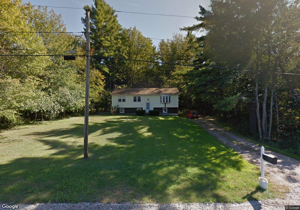
20 Ambush Rock Rd Eliot, ME 03903
East Eliot NeighborhoodEstimated Value: $365,000 - $476,000
4
Beds
1
Bath
1,104
Sq Ft
$393/Sq Ft
Est. Value
About This Home
This home is located at 20 Ambush Rock Rd, Eliot, ME 03903 and is currently estimated at $434,310, approximately $393 per square foot. 20 Ambush Rock Rd is a home located in York County with nearby schools including Marshwood High School and Seacoast Waldorf School.
Create a Home Valuation Report for This Property
The Home Valuation Report is an in-depth analysis detailing your home's value as well as a comparison with similar homes in the area
Home Values in the Area
Average Home Value in this Area
Tax History Compared to Growth
Tax History
| Year | Tax Paid | Tax Assessment Tax Assessment Total Assessment is a certain percentage of the fair market value that is determined by local assessors to be the total taxable value of land and additions on the property. | Land | Improvement |
|---|---|---|---|---|
| 2024 | $3,205 | $270,500 | $116,000 | $154,500 |
| 2023 | $2,891 | $236,000 | $110,000 | $126,000 |
| 2022 | $2,783 | $230,000 | $110,000 | $120,000 |
| 2021 | $3,017 | $223,500 | $105,000 | $118,500 |
| 2020 | $2,980 | $202,700 | $100,000 | $102,700 |
| 2019 | $2,980 | $202,700 | $100,000 | $102,700 |
| 2018 | $2,980 | $202,700 | $100,000 | $102,700 |
| 2017 | $2,899 | $202,700 | $100,000 | $102,700 |
| 2016 | $2,848 | $202,700 | $100,000 | $102,700 |
| 2015 | $2,838 | $202,700 | $100,000 | $102,700 |
| 2014 | $2,797 | $202,700 | $100,000 | $102,700 |
| 2013 | $2,670 | $202,700 | $100,000 | $102,700 |
Source: Public Records
Map
Nearby Homes
- 16 Imperial Dr
- 35 Marshwood Dr
- 19 Heritage Dr
- 25 Heritage Dr
- 34 Imperial Dr
- Lot 2 Cedar Tbd
- Lot 1 Cedar Tbd
- TBD Cedar Rd
- 10 Broadfields Rd
- 82 Stacy Ln
- 0 Goodwin Rd Unit 1626810
- 1708 State Rd
- 18 Governor Hill Rd
- 51 Woodland Hills
- 708 River Rd Unit 3
- 708 River Rd Unit 2
- 19 Schooner Dr
- 25 Fosters Dr
- 25 Shore Ln
- 4 Shore Ln
- 24 Ambush Rock Rd
- 806 Harold Dow Hwy
- 814 H L Dow Highway (Route 236)
- 806 Harold L Dow Hwy
- 28 Ambush Rock Rd
- 27 Ambush Rock Rd
- 814 Harold L Dow Hwy
- 814 Route 236 (Harold L Dow)
- 0 Ambush Rock Rd Unit 764695
- 0 Ambush Rock Rd Unit 970855
- 0 Ambush Rock Rd Unit 1088492
- 820 Harold Dow Highway Rt236
- 33 Ambush Rock Rd
- 34 Ambush Rock Rd
- 820 Harold L Dow Hwy
- 820 Harold L Dow Hwy
- 820 Harold L Dow Hwy
- 820 Maine 236
- 43 Maine 236
- 7 Sullivans Crossing