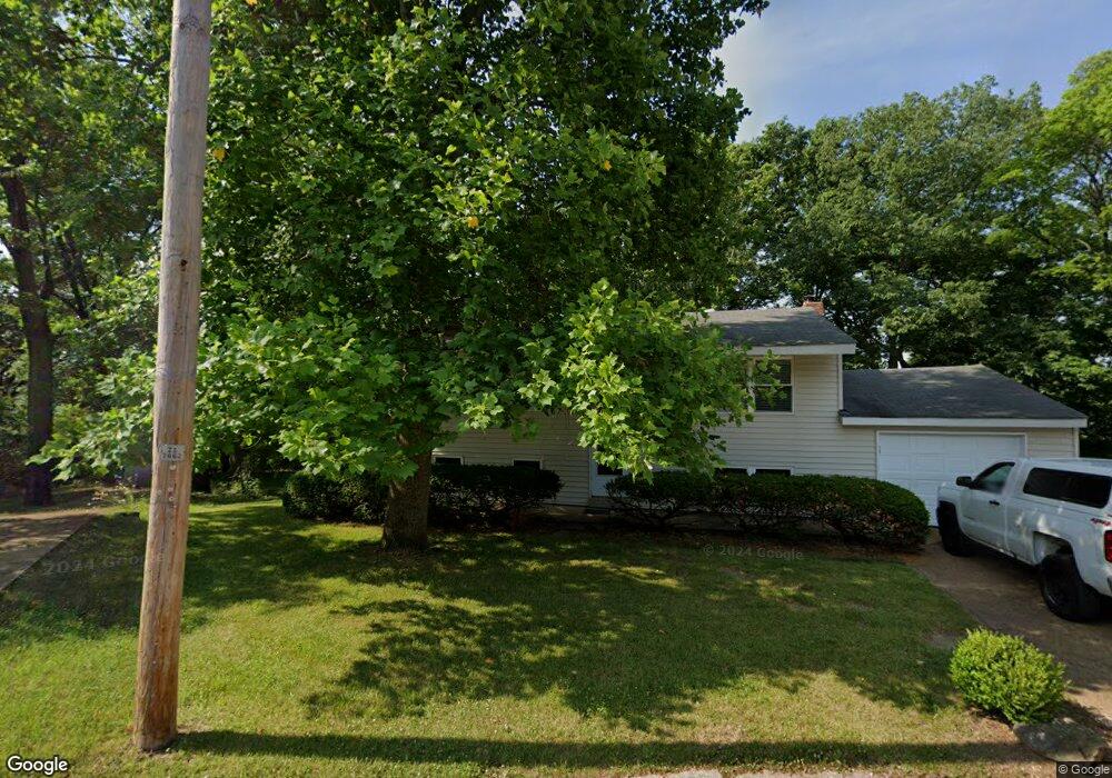
20 Apache Trail Fenton, MO 63026
Estimated Value: $184,122 - $231,000
Studio
--
Bath
936
Sq Ft
$233/Sq Ft
Est. Value
About This Home
This home is located at 20 Apache Trail, Fenton, MO 63026 and is currently estimated at $217,781, approximately $232 per square foot. 20 Apache Trail is a home located in Jefferson County with nearby schools including Northwest High School, Messenger Christian School, and St. Paul School.
Create a Home Valuation Report for This Property
The Home Valuation Report is an in-depth analysis detailing your home's value as well as a comparison with similar homes in the area
Home Values in the Area
Average Home Value in this Area
Tax History
| Year | Tax Paid | Tax Assessment Tax Assessment Total Assessment is a certain percentage of the fair market value that is determined by local assessors to be the total taxable value of land and additions on the property. | Land | Improvement |
|---|---|---|---|---|
| 2025 | $1,350 | $20,300 | $1,800 | $18,500 |
| 2024 | $1,350 | $18,700 | $1,800 | $16,900 |
| 2023 | $1,350 | $18,700 | $1,800 | $16,900 |
| 2022 | $1,344 | $18,700 | $1,800 | $16,900 |
| 2021 | $1,336 | $18,700 | $1,800 | $16,900 |
| 2020 | $1,251 | $17,100 | $1,400 | $15,700 |
| 2019 | $1,250 | $17,100 | $1,400 | $15,700 |
| 2018 | $1,266 | $17,100 | $1,400 | $15,700 |
| 2017 | $1,157 | $17,100 | $1,400 | $15,700 |
| 2016 | $1,051 | $15,400 | $1,500 | $13,900 |
| 2015 | $1,080 | $15,400 | $1,500 | $13,900 |
| 2013 | -- | $15,000 | $1,500 | $13,500 |
Source: Public Records
Map
Nearby Homes
- 800 Mary Lee Ct
- 100 Orchid Dr Unit 100
- 811 Mary Lee Ct
- 91 Poppy Dr Unit 91
- 818 Mary Lee Ct
- 711 Mosely Ct
- 1230 Summit Meadows Dr
- 53 Lois Ln
- 26 W Lakewood Dr
- 1375 Mosswoods Dr
- 000 Gravois Summit
- 927 Gravois Rd
- 52 Glenwood Dr
- 1273 Green Falls Dr
- 916 Tree Trails Ln
- 946 Tree Trails Ln
- 907 Oak Dr
- 831 Oak Dr
- 1835 San Pedro Ln
- 1029 Ginger Root Dr
- 19 Apache Trail
- 21 Apache Trail
- 8 Chism Trail
- 9 Chism Trail
- 18 Apache Trail
- 22 Apache Trail
- 7 Chism Trail
- 23 Apache Trail
- 10 Chism Trail
- 17 Apache Trail
- 6 Frontier Trail
- 12 Frontier Trail
- 24 Apache Trail
- 13 Frontier Trail
- 11 Chism Trail
- 16 Apache Trail
- 4 Chism Trail
- 25 Apache Trail
- 14 Frontier Trail
- 5 Chism Trail
Your Personal Tour Guide
Ask me questions while you tour the home.