20 Astoria Way Bloomington, IL 61704
Estimated Value: $255,000 - $279,692
2
Beds
3
Baths
1,508
Sq Ft
$178/Sq Ft
Est. Value
About This Home
This home is located at 20 Astoria Way, Bloomington, IL 61704 and is currently estimated at $267,673, approximately $177 per square foot. 20 Astoria Way is a home located in McLean County with nearby schools including Benjamin Elementary School, Evans Junior High School, and Normal Community High School.
Ownership History
Date
Name
Owned For
Owner Type
Purchase Details
Closed on
May 29, 2008
Sold by
Lenz Robert J
Bought by
Macewan Thomas W and Macewan Jodi
Current Estimated Value
Home Financials for this Owner
Home Financials are based on the most recent Mortgage that was taken out on this home.
Original Mortgage
$178,478
Outstanding Balance
$113,824
Interest Rate
5.93%
Estimated Equity
$153,849
Purchase Details
Closed on
Jun 15, 2007
Sold by
First Bank
Bought by
Lenz Robert J and Trust #H-294
Create a Home Valuation Report for This Property
The Home Valuation Report is an in-depth analysis detailing your home's value as well as a comparison with similar homes in the area
Home Values in the Area
Average Home Value in this Area
Purchase History
| Date | Buyer | Sale Price | Title Company |
|---|---|---|---|
| Macewan Thomas W | $181,000 | Frontier Title Co | |
| Lenz Robert J | -- | None Available |
Source: Public Records
Mortgage History
| Date | Status | Borrower | Loan Amount |
|---|---|---|---|
| Open | Macewan Thomas W | $178,478 |
Source: Public Records
Tax History Compared to Growth
Tax History
| Year | Tax Paid | Tax Assessment Tax Assessment Total Assessment is a certain percentage of the fair market value that is determined by local assessors to be the total taxable value of land and additions on the property. | Land | Improvement |
|---|---|---|---|---|
| 2024 | $4,643 | $83,914 | $13,217 | $70,697 |
| 2022 | $4,643 | $63,547 | $10,009 | $53,538 |
| 2021 | $4,665 | $58,173 | $9,162 | $49,011 |
| 2020 | $4,671 | $58,173 | $9,162 | $49,011 |
| 2019 | $4,519 | $58,173 | $9,162 | $49,011 |
| 2018 | $4,515 | $58,173 | $9,162 | $49,011 |
| 2017 | $4,331 | $58,173 | $9,162 | $49,011 |
| 2016 | $4,319 | $58,173 | $9,162 | $49,011 |
| 2015 | $4,256 | $57,404 | $9,041 | $48,363 |
| 2014 | $4,209 | $57,404 | $9,041 | $48,363 |
| 2013 | -- | $55,732 | $8,778 | $46,954 |
Source: Public Records
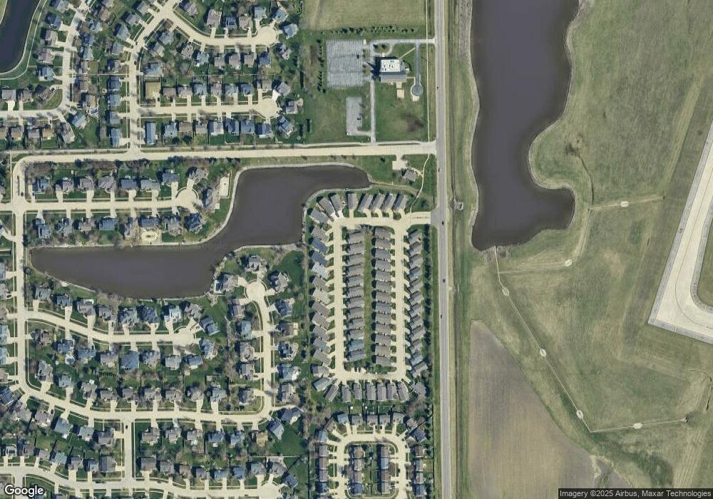
Map
Nearby Homes
- 23 Breckenwood Ct
- 10 Prenzler Dr
- 31 Fetzer Dr Unit 5
- 8 Cygnet Crossing
- 4 Cygnet Crossing
- 1307 Longford Ln
- 3 Harvest Ct
- 47 Stonebrook Ct
- 438 Standish Dr
- 436 Standish Dr
- 6 Stonebrook Ct
- 3509 Glenmore Rd
- 418 Standish Dr
- 317 Waterford Estates Dr
- 3509 Ballyford Dr
- 23 Kenfield Cir
- 9 Brookstone Cir
- 41 Brookstone Cir
- 3 Kenfield Cir
- 17 Downing Cir