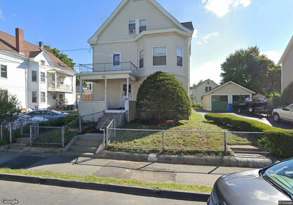
20 Auburn St Waltham, MA 02453
Bank Square NeighborhoodEstimated Value: $1,209,000 - $1,289,000
6
Beds
6
Baths
3,512
Sq Ft
$356/Sq Ft
Est. Value
About This Home
This home is located at 20 Auburn St, Waltham, MA 02453 and is currently estimated at $1,249,468, approximately $355 per square foot. 20 Auburn St is a home located in Middlesex County with nearby schools including William F. Stanley Elementary School, John W. Mcdevitt Middle School, and Waltham Sr High School.
Ownership History
Date
Name
Owned For
Owner Type
Purchase Details
Closed on
Feb 5, 2015
Sold by
Varley Ruth S
Bought by
20 Auburn Street T
Current Estimated Value
Purchase Details
Closed on
Feb 24, 1965
Bought by
20 Auburn St T
Create a Home Valuation Report for This Property
The Home Valuation Report is an in-depth analysis detailing your home's value as well as a comparison with similar homes in the area
Home Values in the Area
Average Home Value in this Area
Purchase History
| Date | Buyer | Sale Price | Title Company |
|---|---|---|---|
| 20 Auburn Street T | -- | -- | |
| 20 Auburn St T | -- | -- |
Source: Public Records
Mortgage History
| Date | Status | Borrower | Loan Amount |
|---|---|---|---|
| Previous Owner | 20 Auburn St T | $100,000 | |
| Previous Owner | 20 Auburn St T | $100,000 |
Source: Public Records
Tax History Compared to Growth
Tax History
| Year | Tax Paid | Tax Assessment Tax Assessment Total Assessment is a certain percentage of the fair market value that is determined by local assessors to be the total taxable value of land and additions on the property. | Land | Improvement |
|---|---|---|---|---|
| 2025 | $10,028 | $1,021,200 | $389,900 | $631,300 |
| 2024 | $9,170 | $951,200 | $382,700 | $568,500 |
| 2023 | $9,218 | $893,200 | $346,600 | $546,600 |
| 2022 | $9,374 | $841,500 | $317,700 | $523,800 |
| 2021 | $9,199 | $812,600 | $317,700 | $494,900 |
| 2020 | $9,051 | $757,400 | $296,000 | $461,400 |
| 2019 | $8,309 | $656,300 | $279,100 | $377,200 |
| 2018 | $7,499 | $594,700 | $258,500 | $336,200 |
| 2017 | $7,179 | $571,600 | $235,400 | $336,200 |
| 2016 | $6,943 | $567,200 | $231,000 | $336,200 |
| 2015 | $6,319 | $481,300 | $202,200 | $279,100 |
Source: Public Records
Map
Nearby Homes
- 79-81 Vernon St
- 948 Main St Unit 209
- 948 Main St Unit 105
- 15 Banks St Unit 4
- 39 Floyd St Unit 2
- 43-45 Welligton Unit 3
- 32 Harvard St Unit 2
- 15 Howard St
- 91 Prentice St
- 85 Crescent St
- 55-57 Crescent St
- 37 Summit St
- 7-11.5 Felton
- 160 School St Unit 3-1
- 14 Claremont St
- 61 Hall St Unit 1
- 61 Hall St Unit 9
- 61 Hall St Unit 2
- 61 Hall St Unit 7
- 15 Alder St Unit 1
- 20 Auburn St
- 20 Auburn St Unit 2
- 22 Auburn St
- 16 Auburn St
- 18 Auburn St
- 14 Auburn St
- 26 Auburn St Unit 2
- 26 Auburn St Unit 1
- 26 Auburn St
- 13 Auburn St Unit 13
- 67 South St
- 21 Auburn St Unit 2
- 21 Auburn St Unit 21
- 21 Auburn St
- 63 South St Unit 65
- 10 Auburn St Unit 12
- 12 Auburn St
- 4 Auburn Terrace
- 19-21 Auburn St
- 65 South St