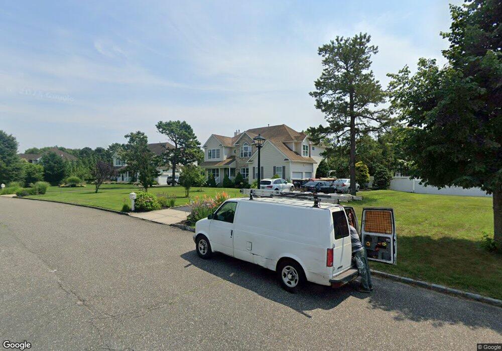
20 Audobon St Medford, NY 11763
Estimated Value: $711,000 - $952,000
4
Beds
2
Baths
3,298
Sq Ft
$259/Sq Ft
Est. Value
About This Home
This home is located at 20 Audobon St, Medford, NY 11763 and is currently estimated at $855,501, approximately $259 per square foot. 20 Audobon St is a home located in Suffolk County with nearby schools including Longwood Middle School, Longwood Junior High School, and Longwood Senior High School.
Ownership History
Date
Name
Owned For
Owner Type
Purchase Details
Closed on
Jun 10, 2024
Sold by
Blanco Marta L
Bought by
Escobar Adelina D and Moreno Manolo
Current Estimated Value
Home Financials for this Owner
Home Financials are based on the most recent Mortgage that was taken out on this home.
Original Mortgage
$736,250
Outstanding Balance
$726,728
Interest Rate
6.95%
Mortgage Type
New Conventional
Estimated Equity
$128,773
Purchase Details
Closed on
Jun 17, 2022
Sold by
Blanco Marta L and Blanco Rene G
Bought by
Blanco Marta L
Purchase Details
Closed on
Jun 13, 2006
Sold by
Beechwood Medford Building Corp
Bought by
Blanco Rene G
Create a Home Valuation Report for This Property
The Home Valuation Report is an in-depth analysis detailing your home's value as well as a comparison with similar homes in the area
Home Values in the Area
Average Home Value in this Area
Purchase History
| Date | Buyer | Sale Price | Title Company |
|---|---|---|---|
| Escobar Adelina D | $775,000 | Westcore Title | |
| Blanco Marta L | -- | None Available | |
| Blanco Rene G | $580,900 | Dawn Hughes |
Source: Public Records
Mortgage History
| Date | Status | Borrower | Loan Amount |
|---|---|---|---|
| Open | Escobar Adelina D | $736,250 |
Source: Public Records
Tax History Compared to Growth
Tax History
| Year | Tax Paid | Tax Assessment Tax Assessment Total Assessment is a certain percentage of the fair market value that is determined by local assessors to be the total taxable value of land and additions on the property. | Land | Improvement |
|---|---|---|---|---|
| 2024 | $18,919 | $4,425 | $325 | $4,100 |
| 2023 | $18,919 | $4,425 | $325 | $4,100 |
| 2022 | $17,469 | $4,425 | $325 | $4,100 |
| 2021 | $17,469 | $4,425 | $325 | $4,100 |
| 2020 | $17,821 | $4,425 | $325 | $4,100 |
| 2019 | $17,821 | $0 | $0 | $0 |
| 2018 | $17,003 | $4,425 | $325 | $4,100 |
| 2017 | $17,003 | $4,425 | $325 | $4,100 |
| 2016 | $16,810 | $4,425 | $325 | $4,100 |
| 2015 | -- | $4,425 | $325 | $4,100 |
| 2014 | -- | $4,425 | $325 | $4,100 |
Source: Public Records
Map
Nearby Homes
- 2405 Fire Ave
- 3110 Kane Ave
- 3115 Heather Ave
- 3019 Sipp Ave
- 3106 Devon Ave
- 49 Country Rd
- 3115 Chestnut Ave
- 1600 Fire Ave
- 2401 Race Ave
- 0 Cedar Ln Unit ONE3556748
- 21 Locust Ave S
- 1902 Race Ave
- 3004 New London Ave
- 2909 Falcon Ave
- 241 Middle Island Rd
- 37 Lot 2 Locust Ave S
- 37 Lot 1 Locust Ave S
- 464 Granny Rd
- 466 Granny Rd
- 60 Pacific Dunes Ct