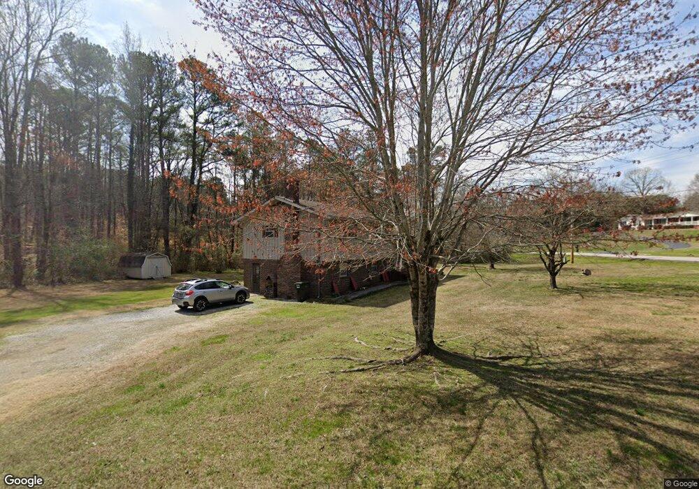
20 Barfield Rd Rock Spring, GA 30739
Rock Spring NeighborhoodEstimated Value: $215,897 - $385,000
--
Bed
2
Baths
1,230
Sq Ft
$224/Sq Ft
Est. Value
About This Home
This home is located at 20 Barfield Rd, Rock Spring, GA 30739 and is currently estimated at $275,474, approximately $223 per square foot. 20 Barfield Rd is a home located in Walker County with nearby schools including Rock Spring Elementary School, Lafayette High School, and Alice M Daley Adventist School.
Ownership History
Date
Name
Owned For
Owner Type
Purchase Details
Closed on
Sep 29, 1988
Sold by
Lawhorn Roger S and Lawhorn Guen I
Bought by
Morgan Herert M and Morgan Deborah
Current Estimated Value
Purchase Details
Closed on
Dec 20, 1985
Sold by
Kidd Earl
Bought by
Lawhorn Roger S and Lawhorn Guen I
Purchase Details
Closed on
Feb 6, 1975
Sold by
Grant Frank and Frances Pame
Bought by
Kidd Earl
Purchase Details
Closed on
Aug 17, 1972
Bought by
Grant Frank and Frances Pame
Create a Home Valuation Report for This Property
The Home Valuation Report is an in-depth analysis detailing your home's value as well as a comparison with similar homes in the area
Home Values in the Area
Average Home Value in this Area
Purchase History
| Date | Buyer | Sale Price | Title Company |
|---|---|---|---|
| Morgan Herert M | $55,500 | -- | |
| Lawhorn Roger S | $36,000 | -- | |
| Kidd Earl | -- | -- | |
| Grant Frank | -- | -- |
Source: Public Records
Tax History Compared to Growth
Tax History
| Year | Tax Paid | Tax Assessment Tax Assessment Total Assessment is a certain percentage of the fair market value that is determined by local assessors to be the total taxable value of land and additions on the property. | Land | Improvement |
|---|---|---|---|---|
| 2024 | $1,856 | $84,906 | $5,722 | $79,184 |
| 2023 | $1,777 | $79,457 | $4,541 | $74,916 |
| 2022 | $1,658 | $68,064 | $3,530 | $64,534 |
| 2021 | $1,310 | $48,173 | $3,530 | $44,643 |
| 2020 | $1,194 | $40,121 | $3,530 | $36,591 |
| 2019 | $1,215 | $40,121 | $3,530 | $36,591 |
| 2018 | $1,062 | $40,121 | $3,530 | $36,591 |
| 2017 | $1,325 | $40,121 | $3,530 | $36,591 |
| 2016 | $1,112 | $40,121 | $3,530 | $36,591 |
| 2015 | $1,005 | $33,574 | $6,804 | $26,770 |
| 2014 | $912 | $33,574 | $6,804 | $26,770 |
| 2013 | -- | $33,574 | $6,804 | $26,770 |
Source: Public Records
Map
Nearby Homes
- 59 Honeysuckle Dr
- 36 Pheonix Cir
- 195 Honeysuckle Dr
- 386 Twelve Oaks Dr
- 285 Cooper Rd
- 375 Cooper Rd
- 788 Long Hollow Rd
- 1902 Long Hollow Rd
- 1121 Arnold Rd
- 1476 Arnold Rd
- 294 E Long Hollow Rd
- 183 Long Hollow Rd
- 5602 Georgia 95
- 00 Georgia 95
- 87 Peavine Rd
- 918 Old Lafayette Rd
- 1370 Old Highway 27
- 1003 Highway N Old 27
- 54 Vaughn Dr
- 701 Bicentennial Trail
- 0 Barfield Rd
- 0 Barfield Rd Unit RTC2722829
- 0 Barfield Rd Unit 1196996
- 0 Barfield Rd Unit 1324394
- 0 Barfield Rd Unit 1213466
- 0 Barfield Rd Unit RTC2341734
- 0 Barfield Rd Unit 7117841
- 27 Barfield Rd
- 2222 Peavine Rd
- 2275 Peavine Rd
- 2260 Peavine Rd
- 2188 Peavine Rd
- 24 Honeysuckle Dr
- 24 Honeysuckle Dr Unit Lot 2
- 2133 Peavine Rd
- 46 Honeysuckle Dr
- 0 Honeysuckle Dr Unit 1168622
- 0 Honeysuckle Dr Unit 1186891
- 38 Honeysuckle Dr
- 11 Honeysuckle Dr