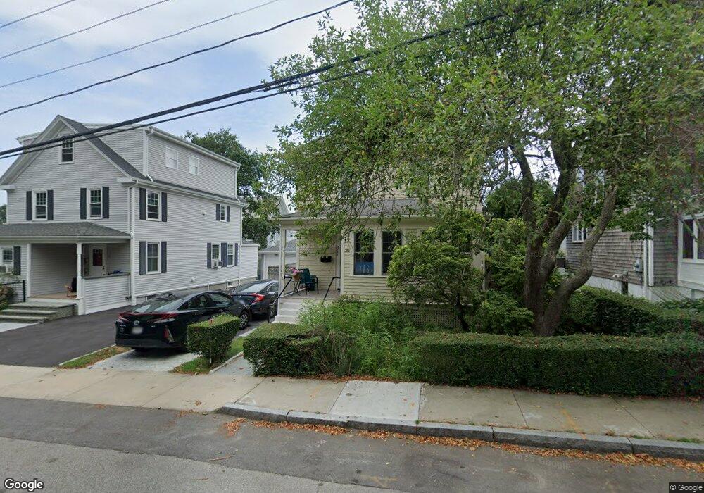
20 Bateman Ave Newport, RI 02840
Fifth Ward NeighborhoodEstimated Value: $902,848 - $1,189,000
3
Beds
2
Baths
1,404
Sq Ft
$745/Sq Ft
Est. Value
About This Home
This home is located at 20 Bateman Ave, Newport, RI 02840 and is currently estimated at $1,045,962, approximately $744 per square foot. 20 Bateman Ave is a home located in Newport County with nearby schools including Rogers High School, St Michael's Country Day School, and St George's School.
Ownership History
Date
Name
Owned For
Owner Type
Purchase Details
Closed on
Dec 15, 2015
Sold by
Jones Brian C and Jones Judy K
Bought by
Jones Brian C and Jones Judy K
Current Estimated Value
Create a Home Valuation Report for This Property
The Home Valuation Report is an in-depth analysis detailing your home's value as well as a comparison with similar homes in the area
Home Values in the Area
Average Home Value in this Area
Purchase History
| Date | Buyer | Sale Price | Title Company |
|---|---|---|---|
| Jones Brian C | -- | -- |
Source: Public Records
Mortgage History
| Date | Status | Borrower | Loan Amount |
|---|---|---|---|
| Previous Owner | Jones Brian C | $66,000 | |
| Previous Owner | Jones Brian C | $20,000 | |
| Previous Owner | Jones Brian C | $75,000 |
Source: Public Records
Tax History Compared to Growth
Tax History
| Year | Tax Paid | Tax Assessment Tax Assessment Total Assessment is a certain percentage of the fair market value that is determined by local assessors to be the total taxable value of land and additions on the property. | Land | Improvement |
|---|---|---|---|---|
| 2025 | $5,712 | $795,600 | $450,400 | $345,200 |
| 2024 | $5,545 | $795,600 | $450,400 | $345,200 |
| 2023 | $5,197 | $523,900 | $294,500 | $229,400 |
| 2022 | $5,035 | $523,900 | $294,500 | $229,400 |
| 2021 | $4,888 | $523,900 | $294,500 | $229,400 |
| 2020 | $4,377 | $425,800 | $232,300 | $193,500 |
| 2019 | $4,377 | $425,800 | $232,300 | $193,500 |
| 2018 | $4,254 | $425,800 | $232,300 | $193,500 |
| 2017 | $3,829 | $341,600 | $166,200 | $175,400 |
| 2016 | $3,734 | $341,600 | $166,200 | $175,400 |
| 2015 | $3,645 | $341,600 | $166,200 | $175,400 |
| 2014 | $3,734 | $309,600 | $141,300 | $168,300 |
Source: Public Records
Map
Nearby Homes
- 17 Meikle Ave Unit 19
- 0 Meikle Ave
- 13 Vaughan Ave
- 70 Carroll Ave Unit 905
- 70 Carroll Ave Unit 510
- 39 Connection St
- 91 Houston Ave
- 99 Roseneath Ave
- 63 Coggeshall Ave
- 57 Clinton St Unit 57C
- 129 Ruggles Ave
- 45 Hammond St Unit 2
- 604 Thames & 4 Dixon St
- 6 Sharon Ct
- 62 Dixon St
- 519 Bellevue Ave Unit 1W
- 46 Chastellux Ave Unit M6
- 14 Leroy Ave
- 1 Harbor View Dr
- 13 Dean Ave
- 22 Bateman Ave
- 18 Bateman Ave
- 35 1/2 Earl Ave
- 35 Earl Ave Unit 2
- 35 Earl Ave
- 34 Vaughan Ave
- 30 Vaughan Ave
- 10 Bateman Ave
- 33 Earl Ave
- 26 Vaughan Ave
- 31 Vaughan Ave
- 24 1/2 Vaughan Ave
- 29 Vaughan Ave
- 27 Vaughan Ave
- 27 Vaughan Ave
- 27 Vaughan Ave Unit 2
- 31 Earl Ave
- 24 Vaughan Ave
- 25 Vaughan Ave
- 8 Bateman Ave