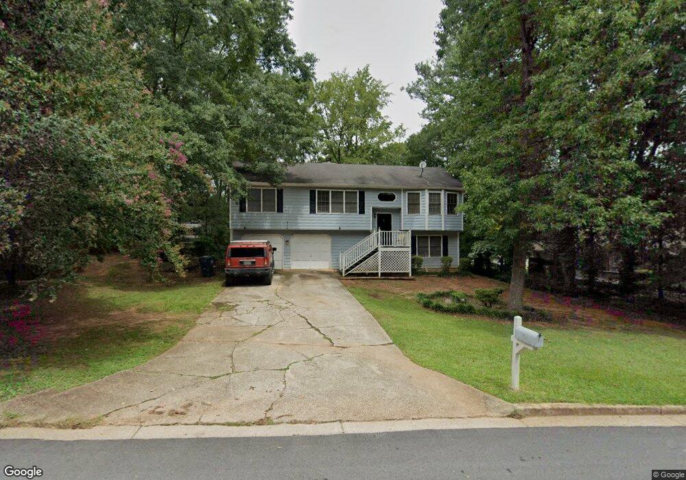
20 Beaverdam Ct Covington, GA 30016
Estimated Value: $254,006 - $269,000
--
Bed
2
Baths
1,316
Sq Ft
$198/Sq Ft
Est. Value
About This Home
This home is located at 20 Beaverdam Ct, Covington, GA 30016 and is currently estimated at $260,002, approximately $197 per square foot. 20 Beaverdam Ct is a home located in Newton County with nearby schools including Porterdale Elementary School, Clements Middle School, and Newton High School.
Ownership History
Date
Name
Owned For
Owner Type
Purchase Details
Closed on
Jun 3, 2009
Sold by
Wells Fargo Bk 2004-Mhq1
Bought by
Williams Billy R and Williams Teresa M
Current Estimated Value
Home Financials for this Owner
Home Financials are based on the most recent Mortgage that was taken out on this home.
Original Mortgage
$33,750
Interest Rate
4.77%
Mortgage Type
New Conventional
Purchase Details
Closed on
Jan 6, 2009
Sold by
Reid Titus L
Bought by
Wells Fargo Bank Na 2004-Mhq1
Purchase Details
Closed on
Jul 20, 1998
Sold by
Smith Marty S
Bought by
Reid Titus L
Home Financials for this Owner
Home Financials are based on the most recent Mortgage that was taken out on this home.
Original Mortgage
$86,843
Interest Rate
6.95%
Mortgage Type
FHA
Create a Home Valuation Report for This Property
The Home Valuation Report is an in-depth analysis detailing your home's value as well as a comparison with similar homes in the area
Home Values in the Area
Average Home Value in this Area
Purchase History
| Date | Buyer | Sale Price | Title Company |
|---|---|---|---|
| Williams Billy R | $45,000 | -- | |
| Wells Fargo Bank Na 2004-Mhq1 | $101,077 | -- | |
| Reid Titus L | $89,000 | -- |
Source: Public Records
Mortgage History
| Date | Status | Borrower | Loan Amount |
|---|---|---|---|
| Closed | Williams Billy R | $33,750 | |
| Previous Owner | Reid Titus L | $86,843 |
Source: Public Records
Tax History Compared to Growth
Tax History
| Year | Tax Paid | Tax Assessment Tax Assessment Total Assessment is a certain percentage of the fair market value that is determined by local assessors to be the total taxable value of land and additions on the property. | Land | Improvement |
|---|---|---|---|---|
| 2024 | $2,424 | $95,680 | $15,200 | $80,480 |
| 2023 | $1,576 | $58,080 | $5,449 | $52,631 |
| 2022 | $1,576 | $58,080 | $5,449 | $52,631 |
| 2021 | $1,761 | $58,080 | $8,000 | $50,080 |
| 2020 | $1,415 | $42,120 | $5,778 | $36,342 |
| 2019 | $1,437 | $42,120 | $5,778 | $36,342 |
| 2018 | $1,446 | $42,120 | $6,200 | $35,920 |
| 2017 | $851 | $24,800 | $4,800 | $20,000 |
| 2016 | $814 | $23,720 | $4,800 | $18,920 |
| 2015 | $1,106 | $23,160 | $4,800 | $18,360 |
| 2014 | $603 | $16,440 | $0 | $0 |
Source: Public Records
Map
Nearby Homes
- 15 Beaverdam Ln
- 216 Upper River Rd
- 0 Crowell Rd Unit 10620922
- 0 Crowell Rd Unit 7662435
- 0 Crowell Rd Unit 24687706
- 0 Crowell Rd Unit 10600991
- 80 Woodland Ridge Cir
- 115 Woodland Ridge Cir
- 40 Brandon Dr
- 11637 Brown Bridge Rd
- 255 Heaton Place Trail
- 40 Tuesday Ct
- 75 Havenwood Ln
- 40 Oakwood Dr
- 75 Trelawney Keep Unit 9
- 474 Crowell Rd
- 11889 Brown Bridge Rd
- 65 Heaton Place Trail
- 510 Stonecreek Ln Unit 56
- 10 Beaverdam Ct
- 10 Beaverdam Ct
- 25 Beaverdam Ct
- 15 Beaverdam Ct
- 0 Upper River Rd Unit 8117434
- 0 Upper River Rd Unit 8074033
- 0 Upper River Rd Unit 8643809
- 0 Upper River Rd Unit 8643296
- 0 Upper River Rd
- 30 Beaverdam Ct
- 35 Beaverdam Ct
- 40 Beaverdam Ct
- 15 River North Ct
- 25 River North Ct
- 15 River Ct N
- 45 Beaverdam Ct
- 35 River North Ct
- 50 Beaverdam Ct
- 266 Upper River Rd
- 282 Upper River Rd