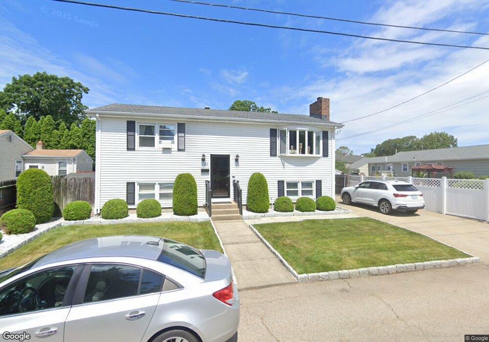
20 Benson Ave Rumford, RI 02916
Carpenters Corner NeighborhoodEstimated Value: $405,126 - $484,000
3
Beds
2
Baths
1,482
Sq Ft
$304/Sq Ft
Est. Value
About This Home
This home is located at 20 Benson Ave, Rumford, RI 02916 and is currently estimated at $451,032, approximately $304 per square foot. 20 Benson Ave is a home located in Providence County with nearby schools including East Providence High School, Ocean State Montessori School, and St Margaret School.
Ownership History
Date
Name
Owned For
Owner Type
Purchase Details
Closed on
Aug 2, 2001
Sold by
Sparks Thomas M and Sparks Beverly
Bought by
Jackson Raymond K and Sparks Jennifer
Current Estimated Value
Home Financials for this Owner
Home Financials are based on the most recent Mortgage that was taken out on this home.
Original Mortgage
$105,000
Interest Rate
7.14%
Mortgage Type
Purchase Money Mortgage
Create a Home Valuation Report for This Property
The Home Valuation Report is an in-depth analysis detailing your home's value as well as a comparison with similar homes in the area
Home Values in the Area
Average Home Value in this Area
Purchase History
| Date | Buyer | Sale Price | Title Company |
|---|---|---|---|
| Jackson Raymond K | $131,500 | -- | |
| Jackson Raymond K | $131,500 | -- |
Source: Public Records
Mortgage History
| Date | Status | Borrower | Loan Amount |
|---|---|---|---|
| Open | Jackson Raymond K | $195,000 | |
| Closed | Jackson Raymond K | $40,000 | |
| Closed | Jackson Raymond K | $105,000 |
Source: Public Records
Tax History
| Year | Tax Paid | Tax Assessment Tax Assessment Total Assessment is a certain percentage of the fair market value that is determined by local assessors to be the total taxable value of land and additions on the property. | Land | Improvement |
|---|---|---|---|---|
| 2025 | $5,199 | $397,800 | $106,900 | $290,900 |
| 2024 | $4,858 | $316,900 | $89,100 | $227,800 |
| 2023 | $4,677 | $316,900 | $89,100 | $227,800 |
| 2022 | $4,271 | $195,400 | $45,300 | $150,100 |
| 2021 | $4,201 | $195,400 | $42,100 | $153,300 |
| 2020 | $4,023 | $195,400 | $42,100 | $153,300 |
| 2019 | $3,912 | $195,400 | $42,100 | $153,300 |
| 2018 | $3,821 | $167,000 | $42,500 | $124,500 |
| 2017 | $3,736 | $167,000 | $42,500 | $124,500 |
| 2016 | $3,717 | $167,000 | $42,500 | $124,500 |
| 2015 | $3,865 | $168,400 | $39,400 | $129,000 |
| 2014 | $3,865 | $168,400 | $39,400 | $129,000 |
Source: Public Records
Map
Nearby Homes
- 37 Larchmere Dr
- 136 King Philip Rd
- 56 Irving Ave
- 54 Raymond St
- 42 Taunton Ave
- 86 Woodward Ave
- 0 Newman Ave Rear
- 188 Waterman Ave
- 94 John St
- 172 Ivy St
- 57 Russell Ave
- 58 Swan St
- 59 Bourne Ave
- 157 Grosvenor Ave
- 23 Morra Way
- 2 Riverwoods Ct
- 80 E Point Dr Unit 26
- 54 E Point Dr Unit 13
- 58 E Point Dr Unit 15
- 210 N County St
- 25 Vineland Ave
- 115 Metacomet Ave
- 22 Benson Ave
- 31 Benson Ave
- 15 Vineland Ave
- 10 Benson Ave
- 125 Metacomet Ave
- 22 Vineland Ave Unit 24
- 14 Golf Ave
- 7 Vineland Ave
- 12 Golf Ave
- 10 Golf Ave
- 18 Vineland Ave
- 25 Benson Ave
- 110 Metacomet Ave
- 21 Benson Ave
- 118 Metacomet Ave
- 25 Lynn Ave
- 9 Vineland Ave
- 108 Metacomet Ave
Your Personal Tour Guide
Ask me questions while you tour the home.