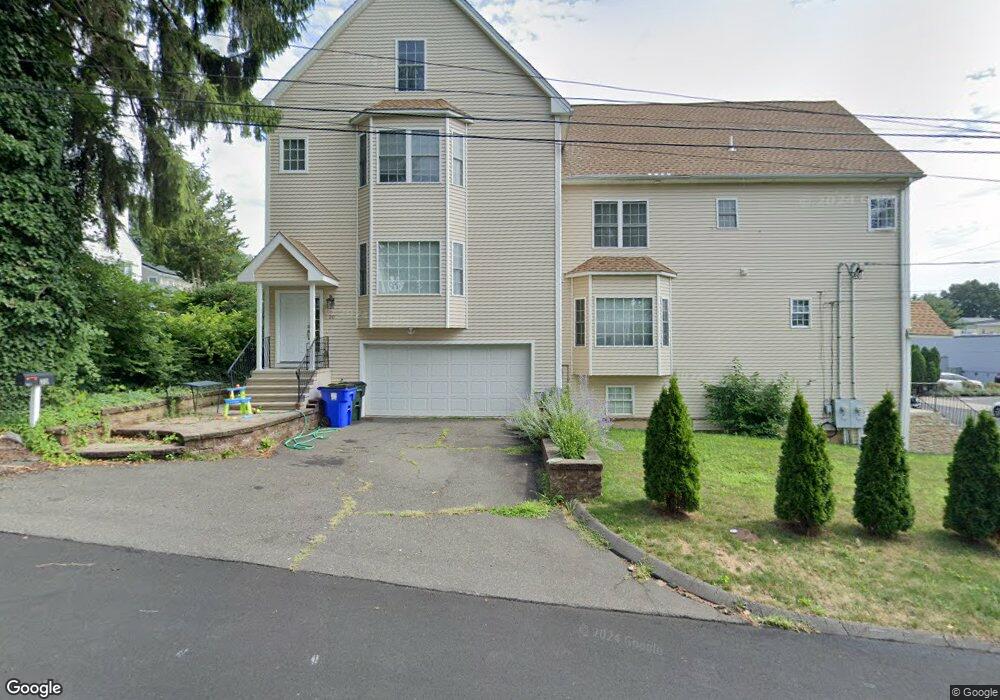
20 Benton St Fairfield, CT 06825
Tunxis Hill NeighborhoodEstimated Value: $611,000 - $716,000
3
Beds
3
Baths
1,904
Sq Ft
$346/Sq Ft
Est. Value
About This Home
This home is located at 20 Benton St, Fairfield, CT 06825 and is currently estimated at $658,519, approximately $345 per square foot. 20 Benton St is a home located in Fairfield County with nearby schools including Mckinley Elementary School, Tomlinson Middle School, and Fairfield Warde High School.
Ownership History
Date
Name
Owned For
Owner Type
Purchase Details
Closed on
Nov 4, 2024
Sold by
Hsu Wen C
Bought by
Wen Chun Hsu Lt and Hsu
Current Estimated Value
Purchase Details
Closed on
Oct 16, 2014
Sold by
Mac Freddie
Bought by
Hsu Wen
Home Financials for this Owner
Home Financials are based on the most recent Mortgage that was taken out on this home.
Original Mortgage
$276,300
Interest Rate
4.09%
Mortgage Type
New Conventional
Create a Home Valuation Report for This Property
The Home Valuation Report is an in-depth analysis detailing your home's value as well as a comparison with similar homes in the area
Home Values in the Area
Average Home Value in this Area
Purchase History
| Date | Buyer | Sale Price | Title Company |
|---|---|---|---|
| Wen Chun Hsu Lt | -- | None Available | |
| Wen Chun Hsu Lt | -- | None Available | |
| Wen Chun Hsu Lt | -- | None Available | |
| Hsu Wen | $368,400 | -- | |
| Hsu Wen | $368,400 | -- |
Source: Public Records
Mortgage History
| Date | Status | Borrower | Loan Amount |
|---|---|---|---|
| Previous Owner | Hsu Wen | $271,000 | |
| Previous Owner | Hsu Wen | $276,300 | |
| Previous Owner | Hsu Wen | $87,000 |
Source: Public Records
Tax History
| Year | Tax Paid | Tax Assessment Tax Assessment Total Assessment is a certain percentage of the fair market value that is determined by local assessors to be the total taxable value of land and additions on the property. | Land | Improvement |
|---|---|---|---|---|
| 2025 | $8,106 | $285,530 | $0 | $285,530 |
| 2024 | $7,966 | $285,530 | $0 | $285,530 |
| 2023 | $7,855 | $285,530 | $0 | $285,530 |
| 2022 | $7,778 | $285,530 | $0 | $285,530 |
| 2021 | $7,704 | $285,530 | $0 | $285,530 |
| 2020 | $7,831 | $292,320 | $0 | $292,320 |
| 2019 | $7,831 | $292,320 | $0 | $292,320 |
| 2018 | $7,706 | $292,320 | $0 | $292,320 |
| 2017 | $7,548 | $292,320 | $0 | $292,320 |
| 2016 | $7,440 | $292,320 | $0 | $292,320 |
| 2015 | $7,517 | $303,240 | $0 | $303,240 |
| 2014 | $7,399 | $303,240 | $0 | $303,240 |
Source: Public Records
Map
Nearby Homes
- 65 Benton St
- 652 Black Rock Turnpike
- 1 Overlook Ave
- 37 Biro St
- 57 Hibiscus St Unit 1
- 240 Sunnyridge Ave Unit 63
- 187 Halley Ave
- 156 Halley Ave
- 145 Brentwood Ave
- 12 Reynolds Dr
- 378 High St
- 274 High St
- 214 York Rd
- 206 Sterling St
- 287 Hansen Ave
- 28 Country Rd
- 855 Brewster St Unit 857
- 108 Roseville St
- 21 Boroskey Rd
- 148 Alfred St
- 20 Benton St Unit 20
- 414 Castle Ave
- 414 Castle Ave Unit 414
- 30 Benton St
- 404 Castle Ave
- 40 Benton St
- 392 Castle Ave
- 392 Castle Ave Unit 392
- 450 Castle Ave
- 23 Benton St
- 29 Coburn St
- 53 Benton St
- 390 Castle Ave
- 454 Castle Ave
- 454 Castle Ave Unit 454
- 37 Benton St
- 37 Coburn St
- 42 Benton St
- 458 Castle Ave
- 470 Castle Ave
Your Personal Tour Guide
Ask me questions while you tour the home.