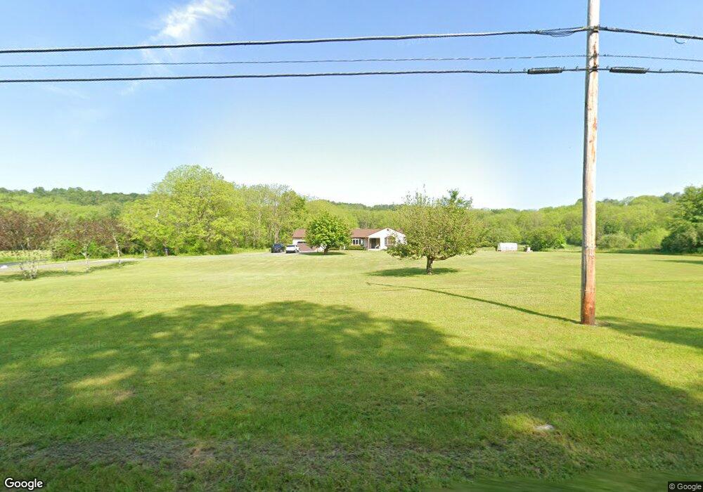
20 Bevans Rd Layton, NJ 07851
Estimated Value: $513,000 - $615,000
Studio
--
Bath
1,806
Sq Ft
$300/Sq Ft
Est. Value
About This Home
This home is located at 20 Bevans Rd, Layton, NJ 07851 and is currently estimated at $541,358, approximately $299 per square foot. 20 Bevans Rd is a home located in Sussex County with nearby schools including Sandyston-Walpack Consolidated School and Kittatinny Regional High School.
Ownership History
Date
Name
Owned For
Owner Type
Purchase Details
Closed on
Aug 27, 2021
Sold by
Scrivani Michael R and Scrivani Cynthia
Bought by
Patterson Michael J and Burgos Aileen M
Current Estimated Value
Home Financials for this Owner
Home Financials are based on the most recent Mortgage that was taken out on this home.
Original Mortgage
$383,625
Interest Rate
2.8%
Mortgage Type
VA
Purchase Details
Closed on
Jul 24, 1990
Bought by
Scrivani Michael
Create a Home Valuation Report for This Property
The Home Valuation Report is an in-depth analysis detailing your home's value as well as a comparison with similar homes in the area
Home Values in the Area
Average Home Value in this Area
Purchase History
| Date | Buyer | Sale Price | Title Company |
|---|---|---|---|
| Patterson Michael J | $385,000 | Cornerstone Ttl & Stlmt Llc | |
| Scrivani Michael | $46,000 | -- |
Source: Public Records
Mortgage History
| Date | Status | Borrower | Loan Amount |
|---|---|---|---|
| Previous Owner | Patterson Michael J | $383,625 |
Source: Public Records
Tax History Compared to Growth
Tax History
| Year | Tax Paid | Tax Assessment Tax Assessment Total Assessment is a certain percentage of the fair market value that is determined by local assessors to be the total taxable value of land and additions on the property. | Land | Improvement |
|---|---|---|---|---|
| 2025 | $9,158 | $289,800 | $103,500 | $186,300 |
| 2024 | $8,879 | $289,800 | $103,500 | $186,300 |
Source: Public Records
Map
Nearby Homes
- 136 Route560
- 113 County Road 560
- 113 Rt560
- 155 Route560
- 0 Rr 615 Unit 4003916
- 11 Hirams Grove Rd
- 9 Woods Rd
- 95 Woods Rd
- 4 Lake Path 1
- 27 Mountain Trail
- 57 E Shore Trail
- 461 U S Highway 206
- 422 U S Highway 206
- 00 Devita Rd
- 161A County Road 645
- 8 Ayers Rd
- 163 County Road 645
- 196 W Owassa Turnpike
- 189 Wilson Hill Rd
- 141 Panorama Trail